8 m away
Missoula's M Trail

The classic Missoula hike to a local landmark
Difficult Hiking
- Distance
- 1.8 km
- Ascent
- 204 m
- Descent
- 204 m
A tough climb up one of Missoula's best known peaks
Hiking Difficult

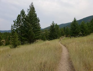
One of the most accessible summits from Missoula, this is a wonderful peak, and climbing it is a logical extension of the classic "M" hike. The climb up is unrelenting but satisfying, while the descent is scenic and enjoyable - it all adds up to a classic and logistically simple hike.
There is ample (paid) parking at the foot of the trail and the start of the route is clearly signposted, so logistics are simple enough. Once underway, it's a tough climb up a series of zig-zags to the famous M. The angle doesn't relent much so keep on grinding and you should be up in about 20 - 30 minutes.
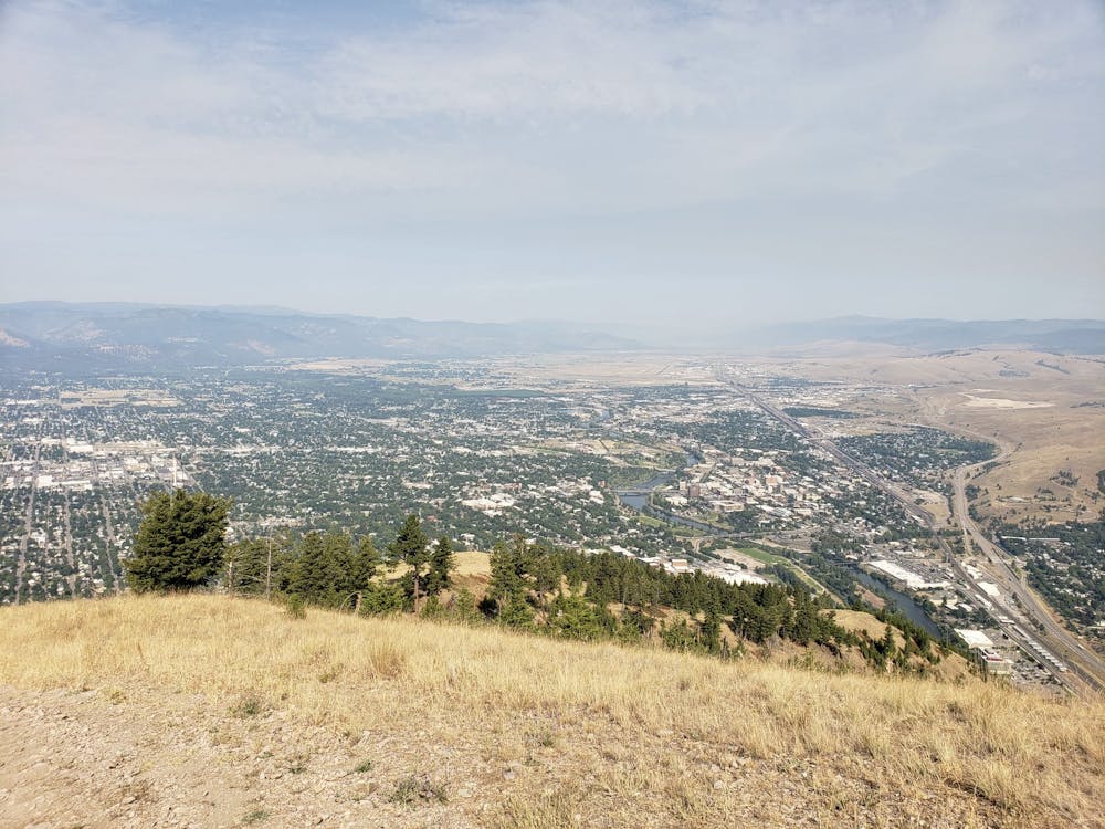
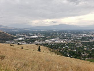
The M itself is pretty huge when you see it close up, and is made from concrete which has then been painted white. The view is excellent and allows you to pick out the various Missoula landmarks, including the football stadium, next to which the trail began. There's also a handy information board outlining what the various buildings around the city are.
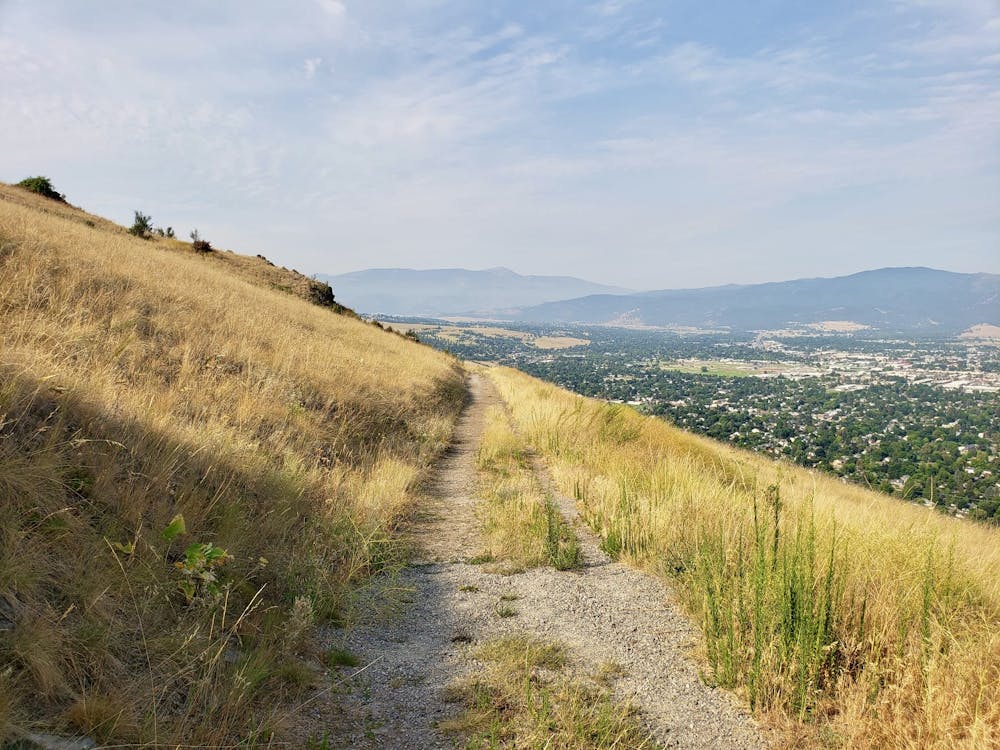
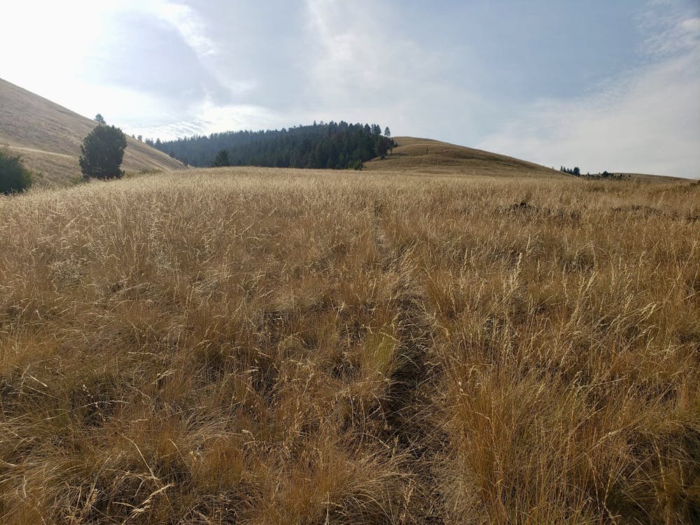
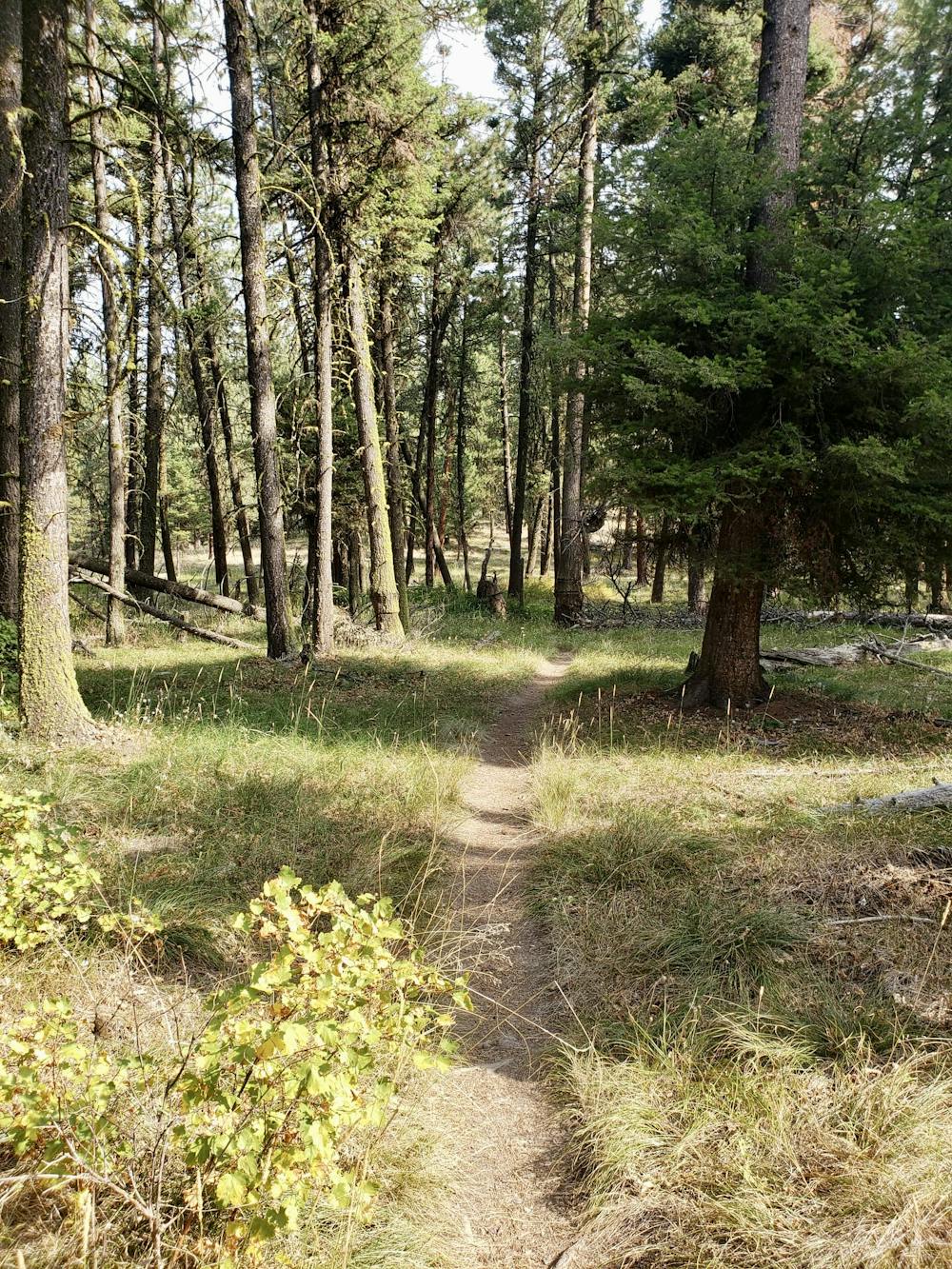
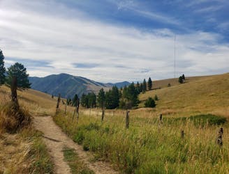
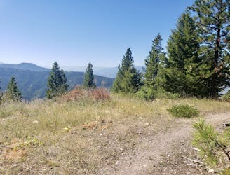
To carry on up to Mount Sentinel, go around the northern edge of the M and then head south on the Sentinel Fire Road. Upon reaching a junction, branch off left and begin the tough climb up to the Pengelly Ridge Trail. All the way up the climb you can hear the hum of city life going on below you, but as you crest the blunt ridge and enter the forest, a sudden, almost jarring silence descends. Enjoy the peace as you swing round on a good trail and finish your ascent to the top of Mount Sentinel.
When you've spent some time admiring the view, begin the scenic and efficient descent down the mountain's north-western "Hellgate" ridge. The descent is steep enough that you need to keep concentrating all the way own - pick your view-observing moments carefully!
Difficult
Hiking trails where obstacles such as rocks or roots are prevalent. Some obstacles can require care to step over or around. At times, the trail can be worn and eroded. The grade of the trail is generally quite steep, and can often lead to strenuous hiking.

The trail contains some obstacles such as outcroppings and rock which could cause injury.

Little chance of being seen or helped in case of an accident.
8 m away
The classic Missoula hike to a local landmark
Difficult Hiking
941 m away

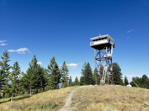
Hike a prominent summit and enjoy some peaceful forests
Difficult Hiking
941 m away
Short and sharp!
Moderate Hiking
1.5 km away
Escape the city and enjoy some huge views
Moderate Hiking
1.7 km away
Get a stress-free fix of nature on the edge of Missoula
Easy Hiking
2.1 km away
Explore the sights of downtown Missoula on this easy stroll
Easy Hiking
3.6 km away
A quick fix of nature close to Missoula
Moderate Hiking
4.3 km away
A beautiful hike which provides huge views across Missoula and the Bitterroot Valley
Difficult Hiking
6.7 km away
Enjoy some famous Montana "big sky" on this easy, scenic hike
Easy Hiking
7.2 km away
Experience the epic Rattlesnake Wilderness Area and climb one of its most prominent peaks
Difficult Hiking
5 routes · Hiking

10 routes · Hiking