3 m away
Mount Jumbo & Jumbo Backbone

Hike a prominent summit and enjoy some peaceful forests
Difficult Hiking
- Distance
- 11 km
- Ascent
- 745 m
- Descent
- 745 m
Short and sharp!
Hiking Moderate

This is a popular hike to a local landmark, close to Missoula city centre but nicely wild too. If you're looking for a quick nature hut in an hour round trip from downtown Missoula, this is your hike.
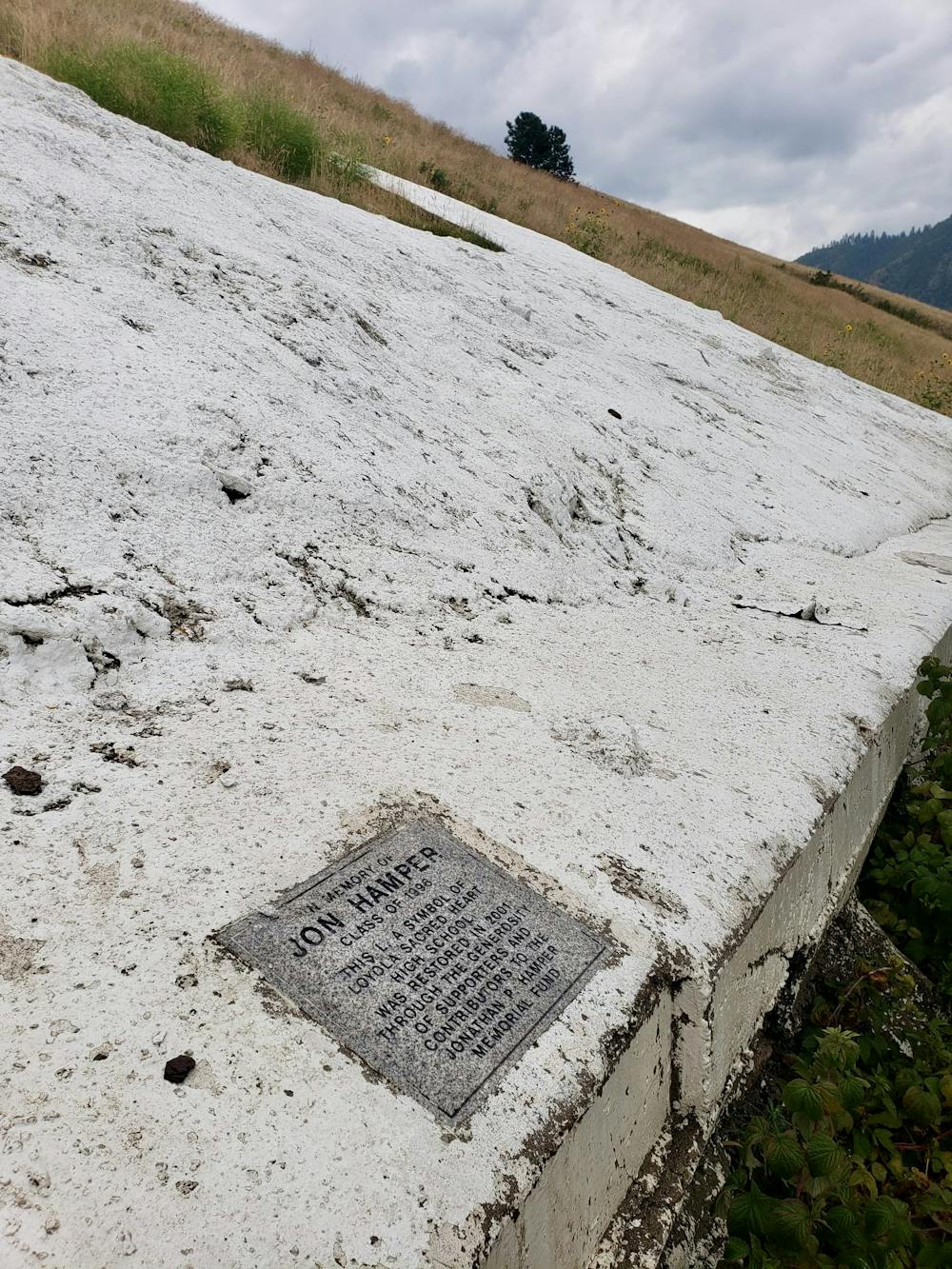
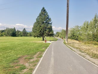
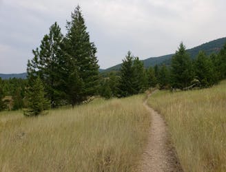
The Missoula L commemorates Loyola Sacred Heart Catholic High School, that sits at the bottom of the trail. There are a couple of spots at which to park before starting the hike to the L, but regardless of which one you choose, the trail is super obvious and well marked. All the way up to the L the trail is smooth and easy to hike.
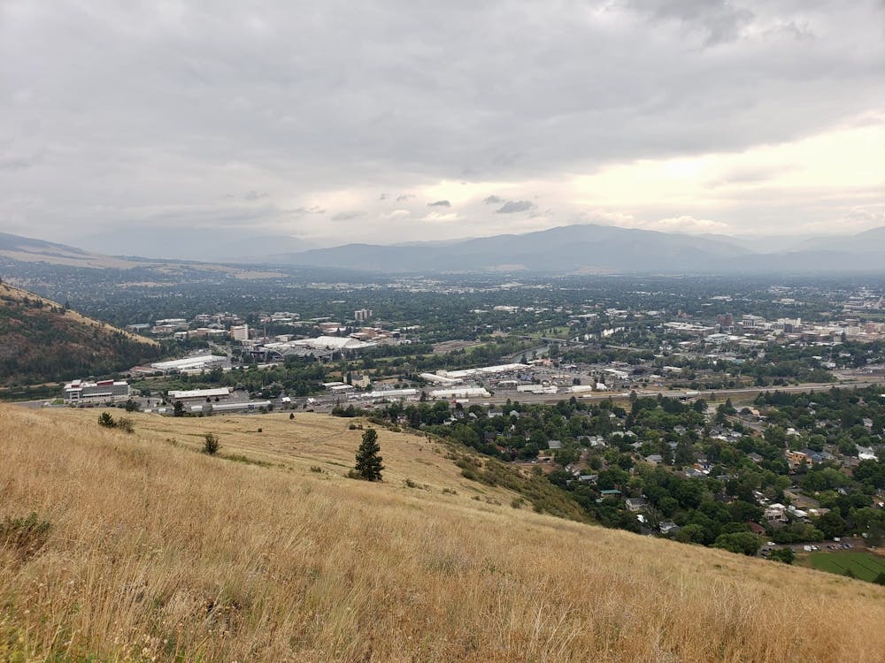
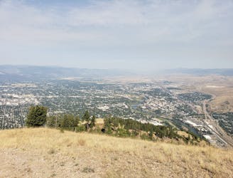
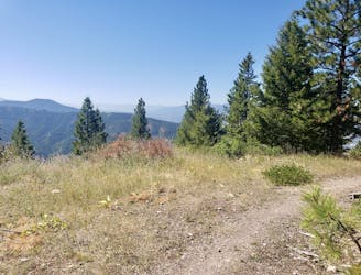
The hike is slightly easier than the trip to the Missoula M but it's still more than enough to get you breathing hard! Keep on grinding and before you know it you'll be looking out over downtown Missoula and its northern suburbs. The L, like the M on the neighbouring hillside, is pretty impressive close up, and is much bigger than it looks from below.
You'll be able to pick out many Missoula landmarks from the L, and taking a bit of time to do so is a recommended use of 5 minutes. Just sitting and admiring the scenery isn't a bad idea either!
This hike would be improved if it was a loop, but sadly it's an out-and-back so about turn and descend by the same route you ascended. If you do want to turn this into a loop then continuing up to the summit of Mount Jumbo (behind the L) is the way to do it.
Moderate
Hiking along trails with some uneven terrain and small hills. Small rocks and roots may be present.

The path is on completely flat land and potential injury is limited to falling over.

Away from help but easily accessed.
3 m away
Hike a prominent summit and enjoy some peaceful forests
Difficult Hiking
743 m away
Get a stress-free fix of nature on the edge of Missoula
Easy Hiking
806 m away
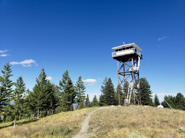
Escape the city and enjoy some huge views
Moderate Hiking
934 m away

The classic Missoula hike to a local landmark
Difficult Hiking
941 m away
A tough climb up one of Missoula's best known peaks
Difficult Hiking
2.1 km away
Explore the sights of downtown Missoula on this easy stroll
Easy Hiking
4.5 km away
A quick fix of nature close to Missoula
Moderate Hiking
5.2 km away
A beautiful hike which provides huge views across Missoula and the Bitterroot Valley
Difficult Hiking
6.3 km away
Experience the epic Rattlesnake Wilderness Area and climb one of its most prominent peaks
Difficult Hiking
7.1 km away
Enjoy some famous Montana "big sky" on this easy, scenic hike
Easy Hiking
5 routes · Hiking

10 routes · Hiking