4.2 km away
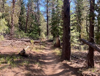
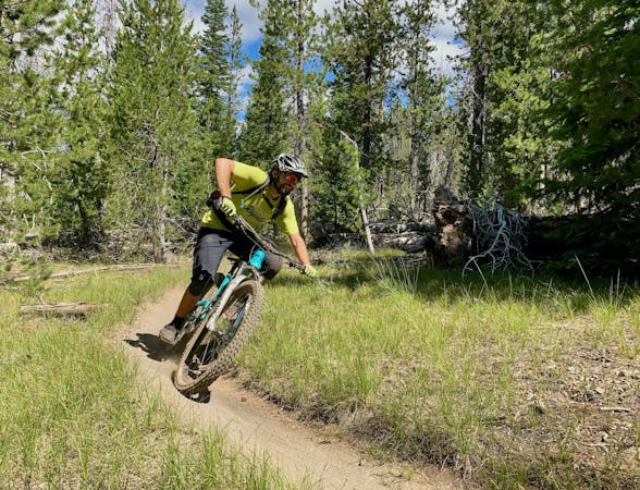
Marvin's -> KGB -> Phil's Loop
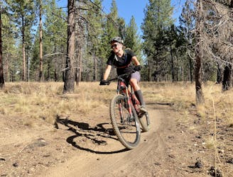
The perfect trail for absolute beginner mountain bikers.
Easy Mountain Biking
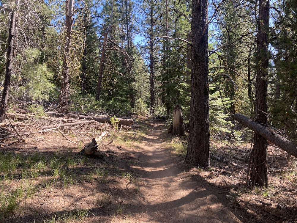
- Distance
- 8.4 km
- Ascent
- 100 m
- Descent
- 100 m
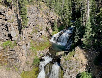
2019 course map for Bend's ultra-distance mountain bike race.
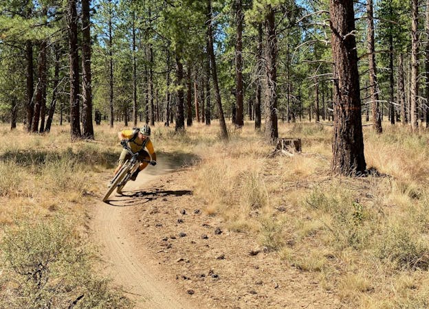
Mountain Biking Difficult

The High Cascades 100 is Bend’s local ultra-distance mountain bike race. This route doesn’t utilize laps on the same loop to reach the 100-mile distance, because it doesn’t need to. The trail system in Bend is so extensive that even this lengthy route doesn’t touch many of the most popular trails near Bend!

Bend’s singletrack is generally smooth, fast, and sandy, providing the perfect terrain for an ultra-distance singletrack race. In addition to hitting a few of the more popular trails close to town like Tiddlywinks and Upper Whoops, the route heads far to the west, looping all the way around Mount Bachelor on the Edison Lava and Metolius Windigo trails. Few people head this far afield from the core of the Bend Trail system, so racers will enjoy a unique trail experience.
While the trails in Bend are renowned for being relatively mellow, this race is still no joke. The language on the High Cascades 100 is up front and meant to detract the unprepared from entering.
"This race/ride is for people who have ridden bikes for quite a long time and understand the need for proper training,” they write. “Dehydration and Death can occur or serious injury. Please consult your physician before entering any event and especially a 100-mile mountain bike race.”
“In addition, due to the remoteness of the course it can and will take depending on where you go down 2-3 hrs to get to you in most situations, so take care of each other out on the course and no sic your limits,” they conclude.
Did those warnings scare you off? Oh, you’re actually intrigued by the prospect? Then consider signing up for this epic mountain biking challenge!
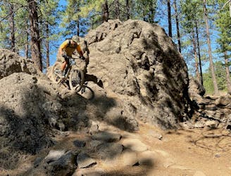
Difficult
Mostly stable trail tread with some variability featuring larger and more unavoidable obstacles that may include, but not be limited to: bigger stones, roots, steps, and narrow curves. Compared to lower intermediate, technical difficulty is more advanced and grades of slopes are steeper. Ideal for upper intermediate riders.

The trail contains some obstacles such as outcroppings and rock which could cause injury.

Little chance of being seen or helped in case of an accident.
4.2 km away
The perfect trail for absolute beginner mountain bikers.
Easy Mountain Biking
4.2 km away
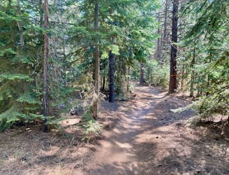
An iconic cross country loop in the Phil's Network.
Easy Mountain Biking
4.3 km away
Loop one of the most popular trails in the Phil's Network.
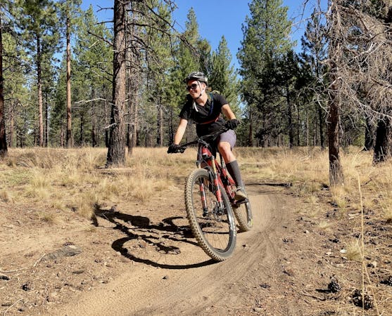
Moderate Mountain Biking
4.3 km away
A lengthy loop accessing little-ridden singletrack gems.
Severe Mountain Biking
4.3 km away
One of the most rewarding long loops from the Phil's trailhead.
Moderate Mountain Biking
4.3 km away
A lengthy 100% singletrack loop accessing the far-flung Tyler's Traverse trail.
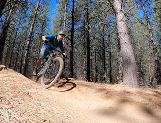
Difficult Mountain Biking
7.8 km away
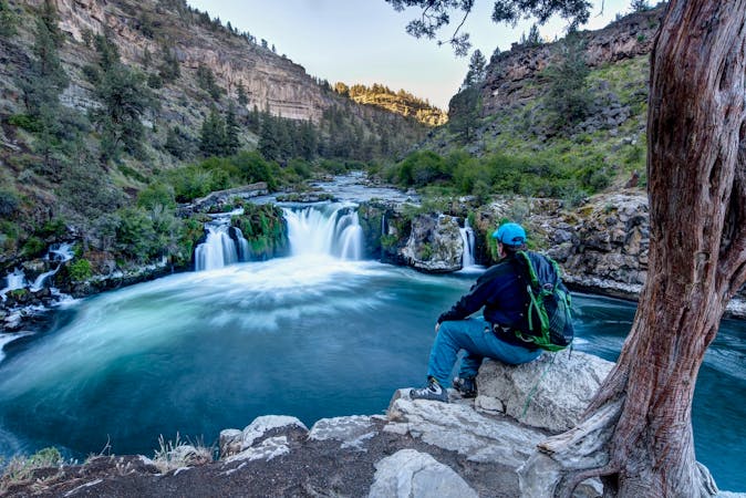
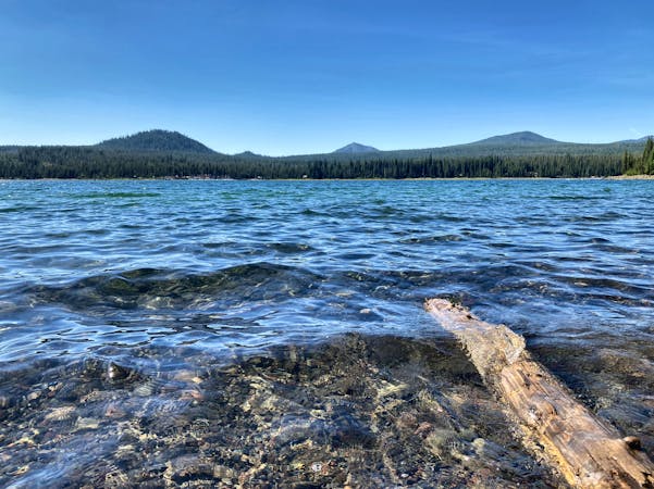
A highly-trafficked but ultra-scenic beginners ride.
Easy Mountain Biking
3 routes · Mountain Biking
7 routes · Mountain Biking
3 routes · Mountain Biking
4 routes · Mountain Biking · Hiking
5 routes · Mountain Biking · Hiking · Stand Up Paddle