4.7 km away
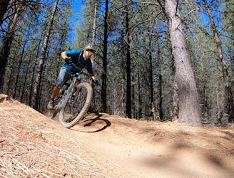
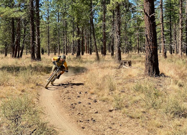
Funner -> Tiddlywinks Loop
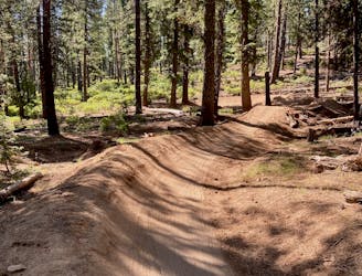
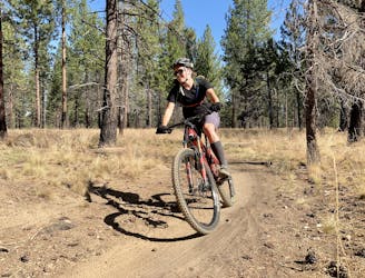
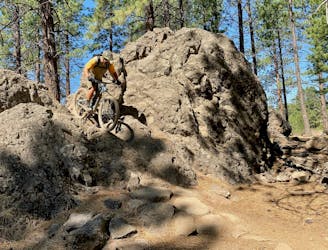
A feature-rich loop ride removed from the business of the Phil's Trailhead.
Difficult Mountain Biking
- Distance
- 20 km
- Ascent
- 415 m
- Descent
- 415 m
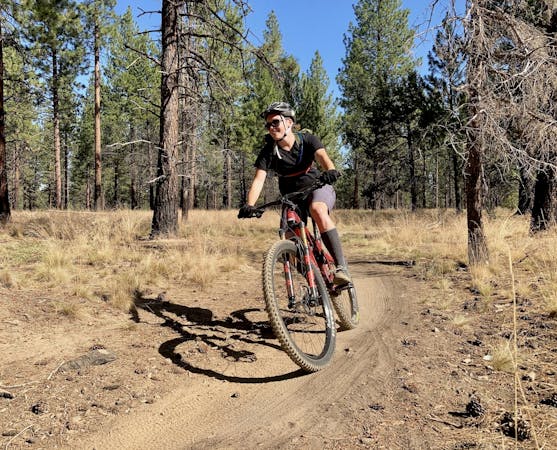
A highly-trafficked but ultra-scenic beginners ride.
Mountain Biking Easy

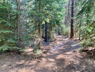
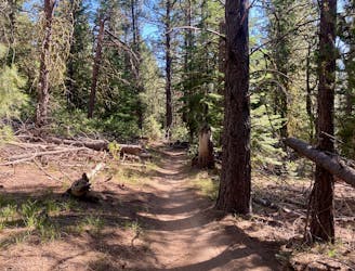
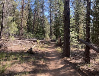
The Deschutes River Trail in its entirety stretches over 13 miles one-way along the banks of the river. This multi-use trail can easily be broken into shorter segments for a delightful, easy ride, hike, or run. The lollipop loop mapped here is envisioned as a beginner mountain bike ride measuring a mere 4 miles, but it can easily be extended.
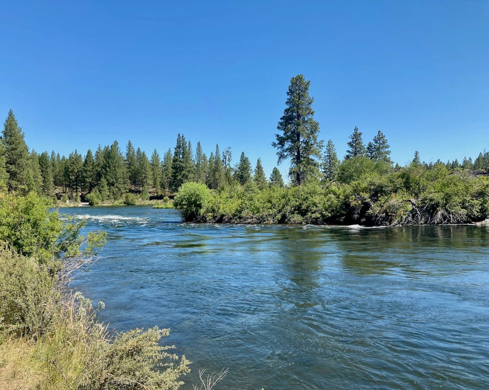
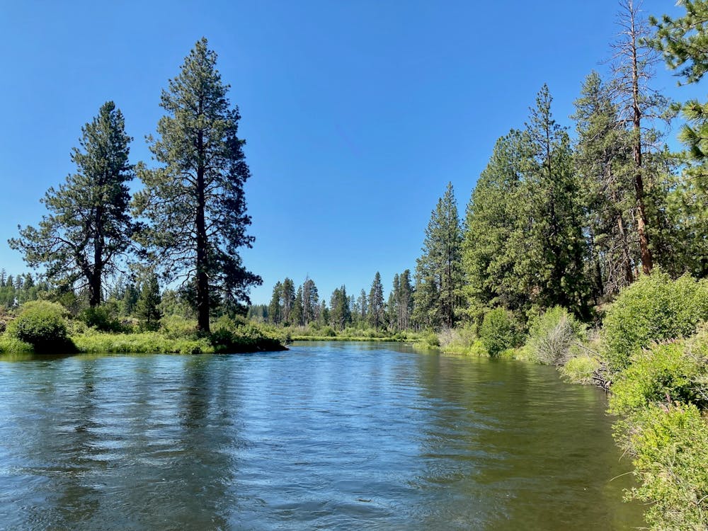
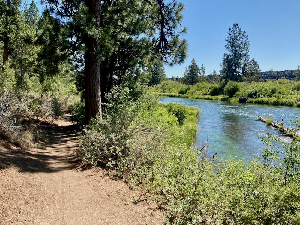
The singletrack tread along the Deschutes River Trail is largely smooth and flat, making for an attractive beginner mountain bike ride! With short, easy climbs and flowy singletrack, beginners flock to the Deschutes River Trail as a way to build their skills, or perhaps simply for a scenic mountain bike ride.
Unlike the somewhat bland scenery in the Phil’s Trail Network, when riding along the Deschutes River Trail you’ll actually get to enjoy beautiful views of the rushing river. Several of the viewpoints along this route overlook rapids, and on most summer days, you can watch whitewater rafters try their luck on the cascades and rapids as they try to avoid the volcanic rock walls. Thanks to the nourishing water, the trees and undergrowth grow both tall and dense, providing a greener, lusher ride experience than in most other places in the region.
Due to all of these attractive features, the Deschutes River Trail is a highly-trafficked stretch of singletrack. Expect to encounter dozens of other trail users, and brace yourself for near-constant passing on the trail, even during the week. Remember: mountain bikers yield to all other trail users.
Easy
Mostly smooth and non-technical singletrack with unavoidable obstacles 2in/5cm tall or less. Avoidable obstacles may be present. Ideal for beginner riders.

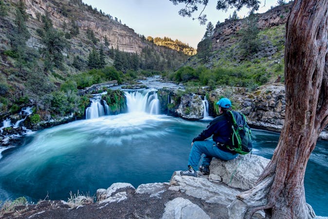
The trail contains some obstacles such as outcroppings and rock which could cause injury.

Close to help in case of emergency.
4.7 km away
A feature-rich loop ride removed from the business of the Phil's Trailhead.
Difficult Mountain Biking
6.6 km away
The perfect trail for absolute beginner mountain bikers.
Easy Mountain Biking
6.6 km away
An iconic cross country loop in the Phil's Network.
Easy Mountain Biking
6.6 km away
A lengthy 100% singletrack loop accessing the far-flung Tyler's Traverse trail.
Difficult Mountain Biking
6.6 km away
A lengthy loop accessing little-ridden singletrack gems.
Severe Mountain Biking
6.6 km away
Loop one of the most popular trails in the Phil's Network.
Moderate Mountain Biking
6.6 km away
One of the most rewarding long loops from the Phil's trailhead.
Moderate Mountain Biking
7.8 km away
2019 course map for Bend's ultra-distance mountain bike race.
Difficult Mountain Biking
3 routes · Mountain Biking
7 routes · Mountain Biking
3 routes · Mountain Biking
4 routes · Mountain Biking · Hiking
5 routes · Mountain Biking · Hiking · Stand Up Paddle

15 routes · Mountain Biking