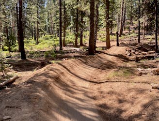
Whoops Loop
Loop one of the most popular trails in the Phil's Network.
Moderate Mountain Biking
- Distance
- 32 km
- Ascent
- 617 m
- Descent
- 617 m
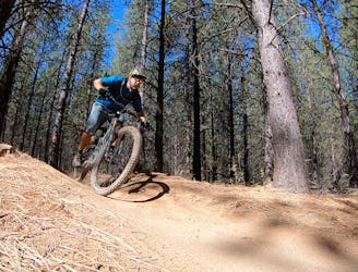
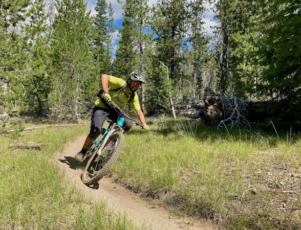
One of the most rewarding long loops from the Phil's trailhead.
Mountain Biking Moderate

If you’re looking for a big loop ride in Bend with rewarding singletrack and views, this is it!
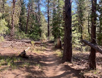
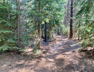
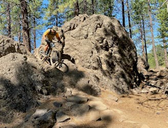
This epic 33-mile loop ride begins from the primary Phil’s trailhead and climbs a series of standard trails through the trail system: Ben’s -> Pine Drops -> Skyliner’s -> Tumalo Creek. These classic Phil’s trails provide delightful uphill pedaling on swoopy, smooth singletrack as you slowly ascend the slanted mesa toward Tumalo Falls.
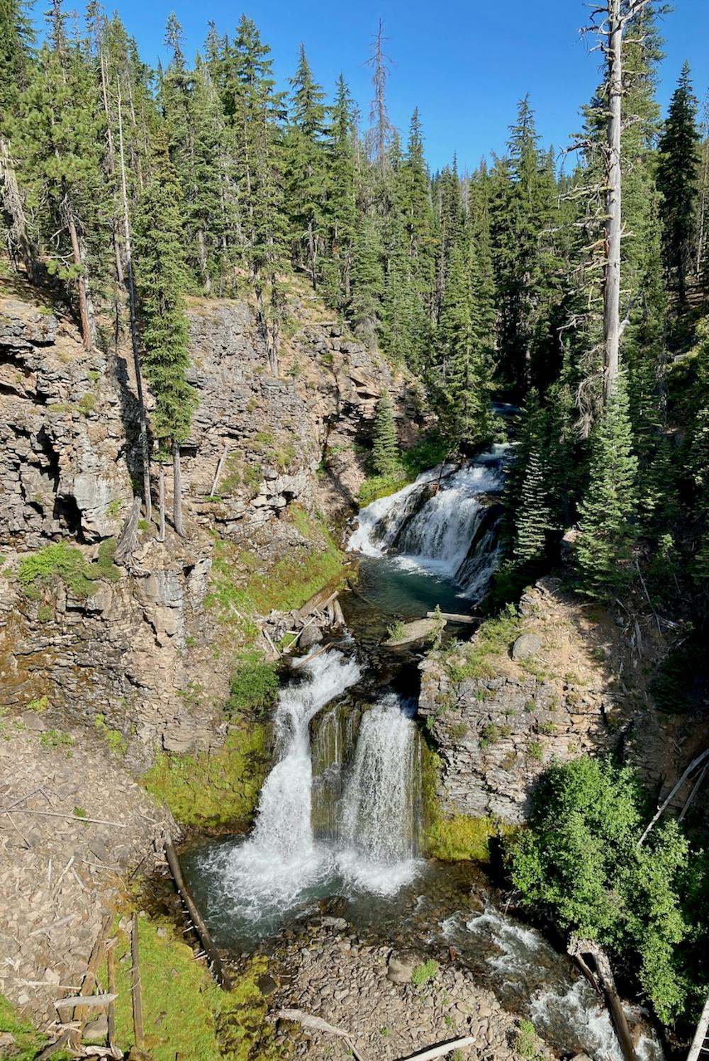
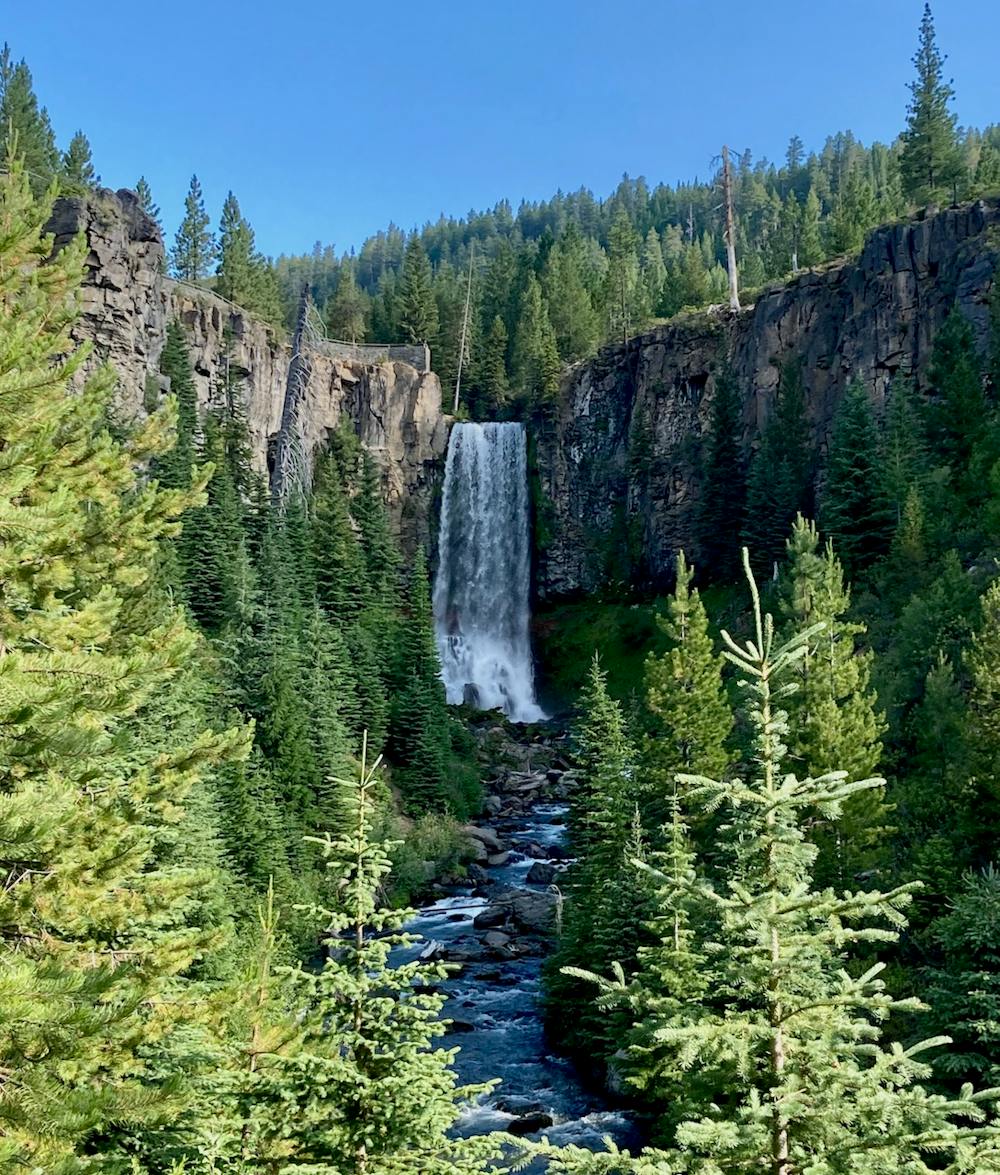
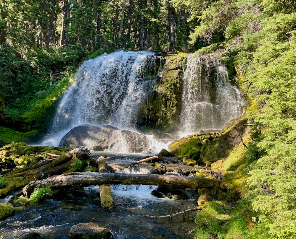
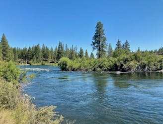
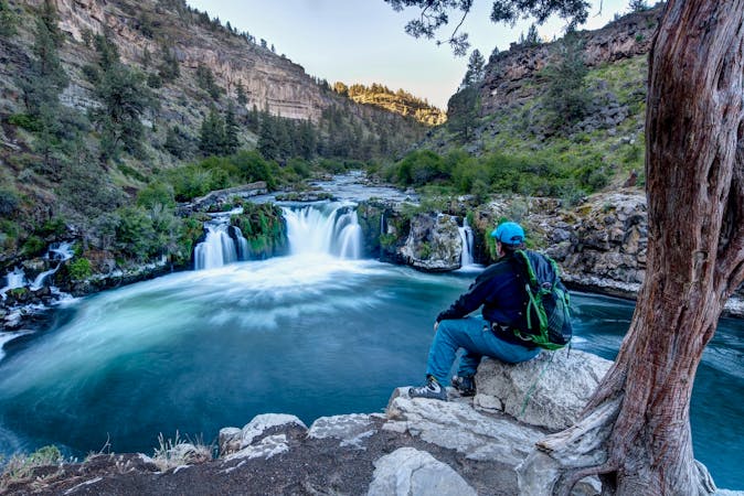
From Tumalo Falls, you’ll tackle the main climb of the route up North Fork. While you’ll begin by passing the astounding vista of Tumalo Falls, North Fork continues to reward with stunning views of thundering cascades in a narrow gorge, views of the rushing stream, and an endless parade of waterfalls as you continue climbing up the trail. While it’s a steep grunt, this is potentially the most scenic climbing trail you’ll ever pedal! The stunning views definitely help the time to pass more quickly.
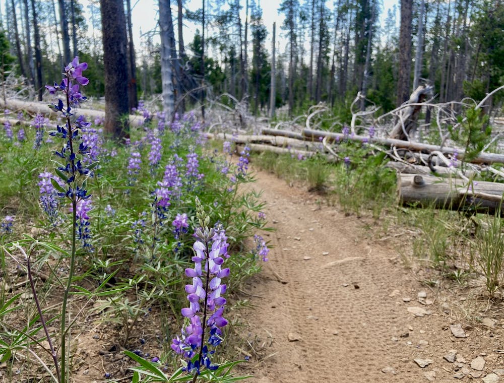
Once at the top of North Fork, take a right on Mrazek and pedal through lush meadows as you finish out the climb.
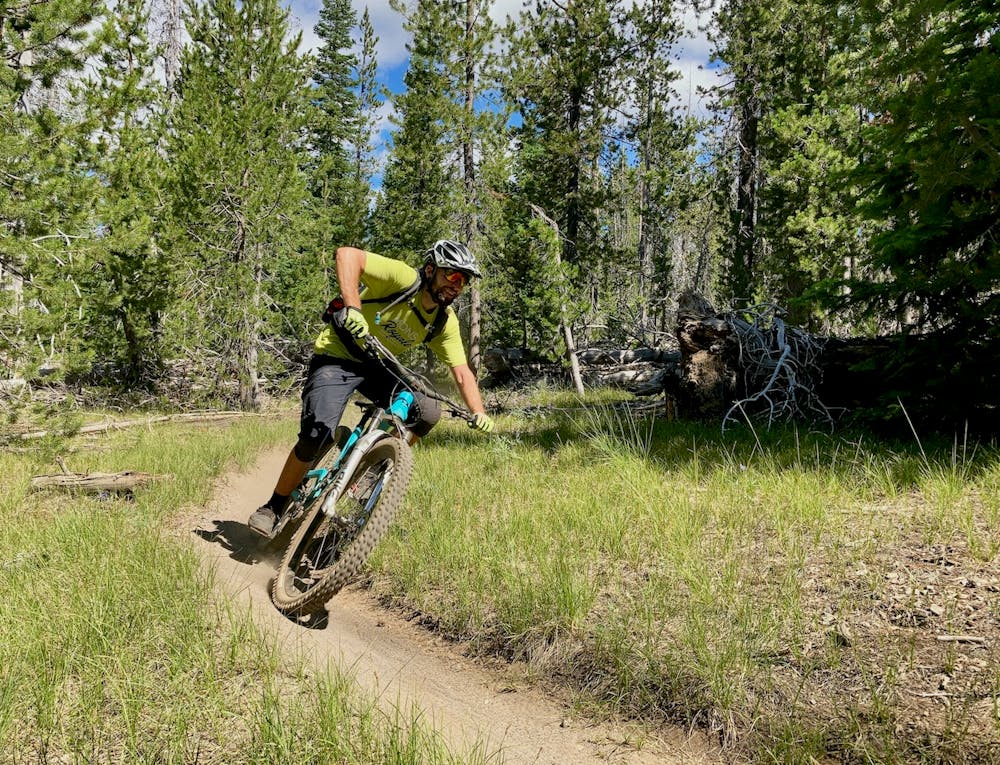
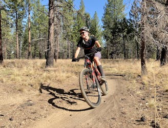
The upper section of Mrazek is fast and wide open, with some good views from the top of the ridge of the valley below. If you can tear yourself away from this rad 13-mile downhill, take some time to enjoy the viewpoints higher up.
Tight and twisty is the name of the game on the lower section of Mrazek, as the climate dries out and the singletrack twists and turns through tight scrub oak. This section of singletrack rewards the competent bike handle and corner, with the ability to still make time in spite of the back-to-back swoops and turns.
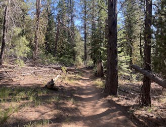
Lower down, the trail system gets more intricate, with a spiderweb of singletrack both signed and unsigned. Be sure to download this route for offline use so you can navigate the most efficient way back to the trailhead, or if you want some bonus miles, spend some time exploring the myriad trails!
Moderate
Mostly stable trail tread with some variability, with unavoidable obstacles 8in/20cm tall or less. Other obstacles such as rock gullies and steep sections may exist. Ideal for lower intermediate riders.

The trail contains some obstacles such as outcroppings and rock which could cause injury.
Away from help but easily accessed.
Loop one of the most popular trails in the Phil's Network.
Moderate Mountain Biking
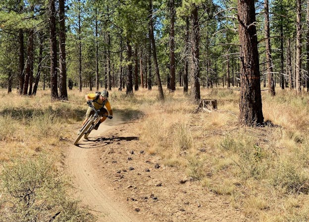
A lengthy loop accessing little-ridden singletrack gems.
Severe Mountain Biking
2 m away
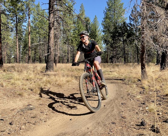
A lengthy 100% singletrack loop accessing the far-flung Tyler's Traverse trail.
Difficult Mountain Biking
13 m away
An iconic cross country loop in the Phil's Network.
Easy Mountain Biking
48 m away
The perfect trail for absolute beginner mountain bikers.
Easy Mountain Biking
4.3 km away
2019 course map for Bend's ultra-distance mountain bike race.
Difficult Mountain Biking
6.6 km away
A highly-trafficked but ultra-scenic beginners ride.
Easy Mountain Biking
9 km away
A feature-rich loop ride removed from the business of the Phil's Trailhead.
Difficult Mountain Biking
3 routes · Mountain Biking
7 routes · Mountain Biking
3 routes · Mountain Biking
4 routes · Mountain Biking · Hiking
5 routes · Mountain Biking · Hiking · Stand Up Paddle

15 routes · Mountain Biking