2 m away
Whoops Loop
Loop one of the most popular trails in the Phil's Network.
Moderate Mountain Biking
- Distance
- 32 km
- Ascent
- 617 m
- Descent
- 617 m
A lengthy 100% singletrack loop accessing the far-flung Tyler's Traverse trail.
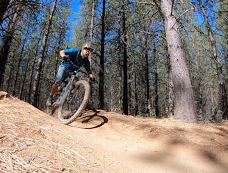
Mountain Biking Difficult

Tyler’s Traverse to Catch and Release forms the southern edge of the primary Bend trail system, so it’s quite removed from the heart of Phil’s. You have to do some work to reach Tyler’s, but the effort required to pedal all the way there is richly rewarded!
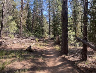
The route to reach Tyler’s follows a series of classic trails in the Phil’s Trail Network. It begins by climbing the uphill-only Ben’s Trail and then working its way south on Voodoo to Ticket To Ride. After climbing C.O.D. for a few miles, the route crosses the Cascade Lakes Highway and ascends the Funner trail.
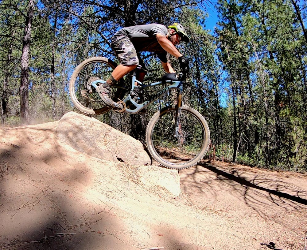
While Funner might be the most technical trail in Bend in the downhill direction, there are many splits in the trail with dedicated climbing routes that are much less technical than the downhill rock gardens and drops. While the climb up Funner still poses a few challenges, it’s overall a well-built uphill that gets you to the goods.
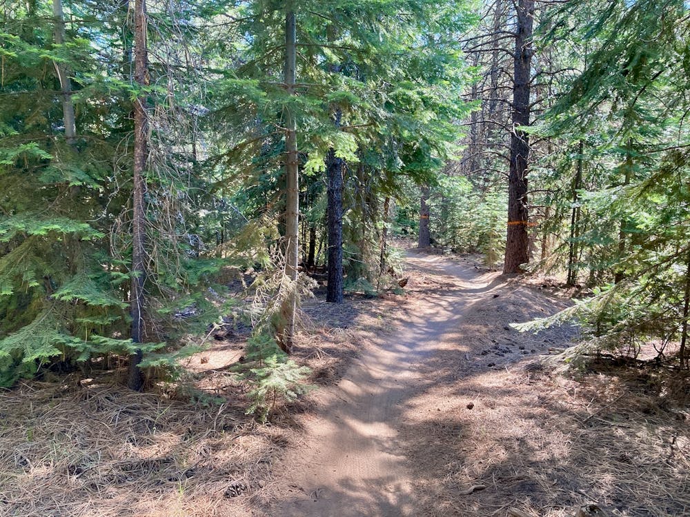
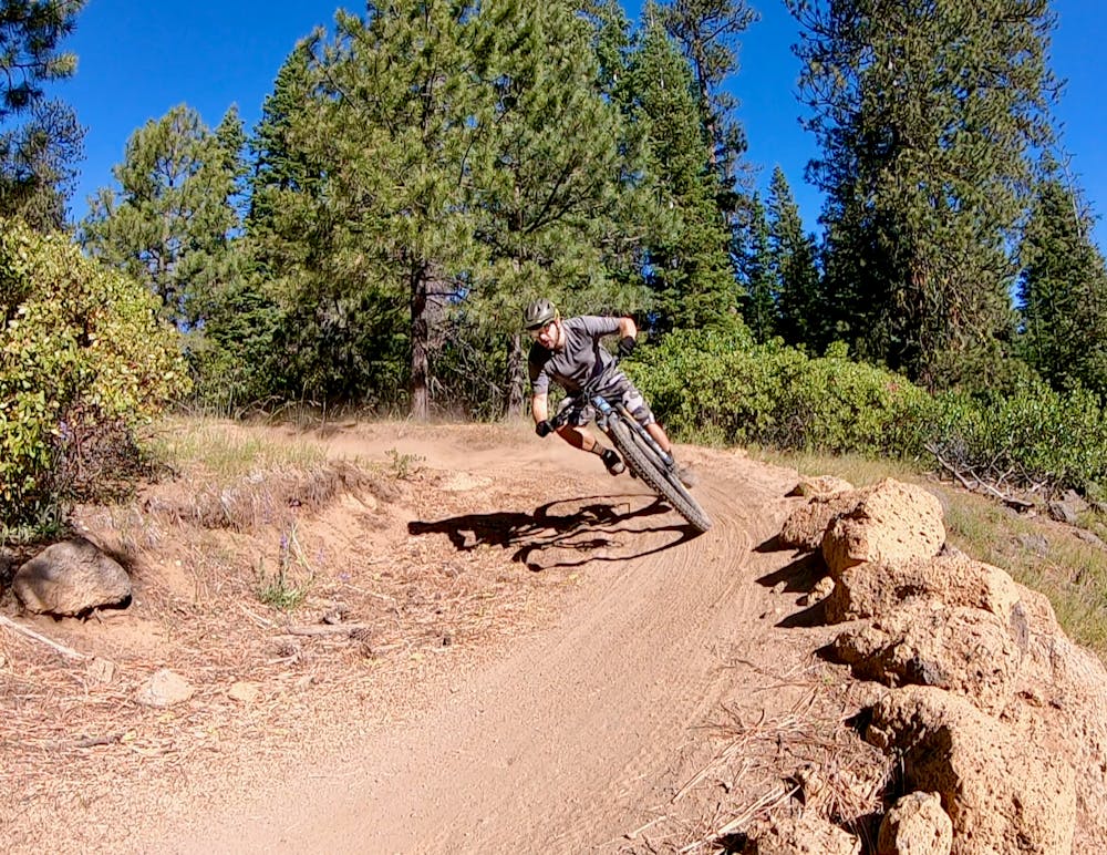
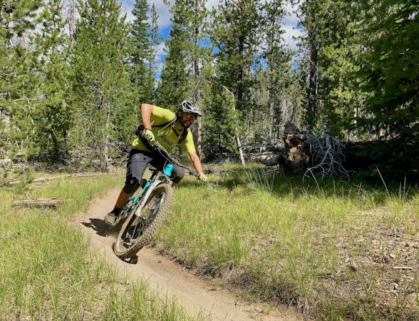
After pedaling across Upper Tiddlywinks and Kiwa Butte to get to the top of Tyler’s Traverse, get ready for miles and miles of fast, flowy descending!
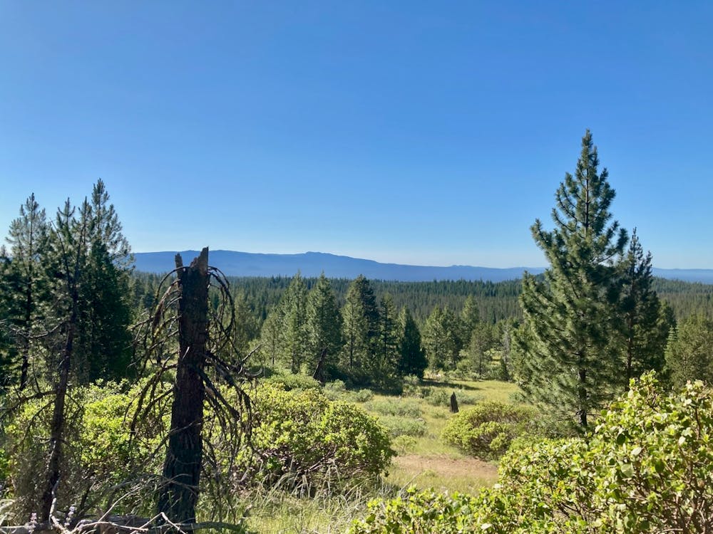
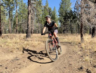
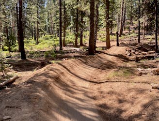
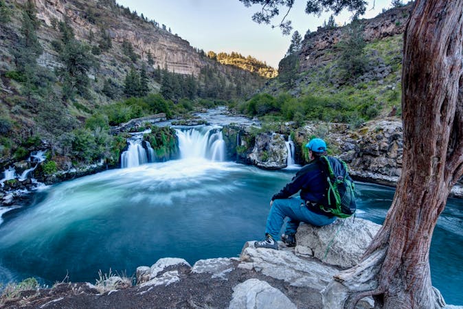
Unlike nearby Tiddlywinks, you won’t find any big features on Tyler’s. If you keep your eyes open, you can spot a few small jumps, alt drop lines, and the occasional little challenge sprinkled throughout the endless series of low, flowy berms. While there aren’t any great views to be had (aside from one corner), the constant swoop and flow as the singletrack descends for miles through the pines is in and of itself sufficient reward for all of your work!
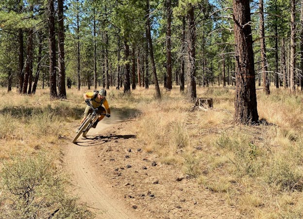
After Tyler’s, Catch and Release consists of classic pedally, green Bend singletrack to get back to the Cascade Lakes Highway. This section of trail is up and down with no serious descending, but provides a welcome break after the high-speed shredding down Tyler's.
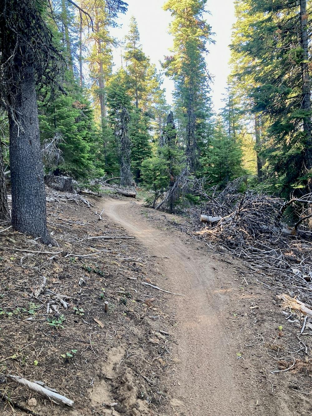
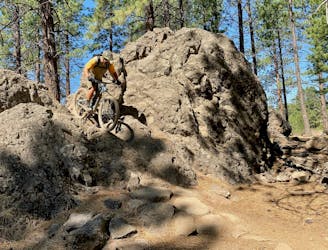
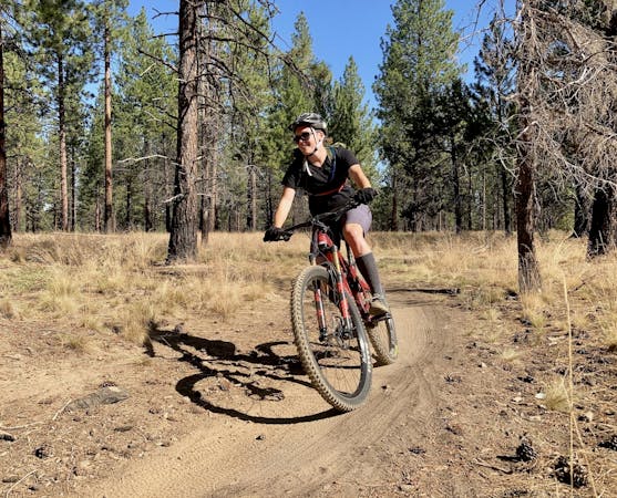
After crossing the highway, you’ll descend the lower sections of C.O.D., which are some of the rockiest trails in the Phil’s Trail Network. While some of the most technical sections do have easier lines, be prepared to challenge yourself on Central Oregon's volcanic rock.
After you blast through the chunk on C.O.D., it’s all green, easy pedaling to return to the Phil’s Trailhead.
Congratulations: you’ve just pedaled 36 miles of classic Bend, Oregon singletrack!
Difficult
Mostly stable trail tread with some variability featuring larger and more unavoidable obstacles that may include, but not be limited to: bigger stones, roots, steps, and narrow curves. Compared to lower intermediate, technical difficulty is more advanced and grades of slopes are steeper. Ideal for upper intermediate riders.

The trail contains some obstacles such as outcroppings and rock which could cause injury.
Away from help but easily accessed.
2 m away
Loop one of the most popular trails in the Phil's Network.
Moderate Mountain Biking
2 m away
One of the most rewarding long loops from the Phil's trailhead.
Moderate Mountain Biking
2 m away
A lengthy loop accessing little-ridden singletrack gems.
Severe Mountain Biking
15 m away
An iconic cross country loop in the Phil's Network.
Easy Mountain Biking
50 m away
The perfect trail for absolute beginner mountain bikers.
Easy Mountain Biking
4.3 km away
2019 course map for Bend's ultra-distance mountain bike race.
Difficult Mountain Biking
6.6 km away
A highly-trafficked but ultra-scenic beginners ride.
Easy Mountain Biking
9 km away
A feature-rich loop ride removed from the business of the Phil's Trailhead.
Difficult Mountain Biking
3 routes · Mountain Biking
7 routes · Mountain Biking
3 routes · Mountain Biking
4 routes · Mountain Biking · Hiking
5 routes · Mountain Biking · Hiking · Stand Up Paddle

15 routes · Mountain Biking