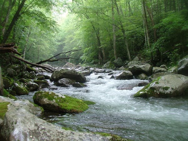
3.2 km away
Mount LeConte via Alum Cave
A popular route to the summit of Mount LeConte.
Difficult Hiking
- Distance
- 17 km
- Ascent
- 933 m
- Descent
- 933 m
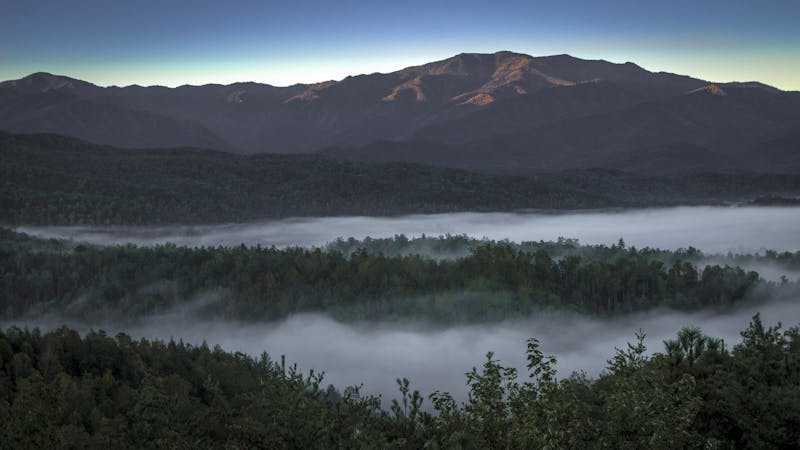
The second half of the Great Smoky Mountains National Park.
Also in North Carolina, United States of America
Hiking Difficult

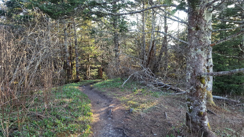
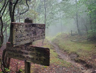
Newfound Gap Road, also referred to as US-441, is the southern terminus for this popular segment. Given that the road is maintained year-round, this serves as a popular trailhead and resupply point for the weary thru-hiker. A large bus, trailer, and RV parking area also make it extremely popular among tourists.
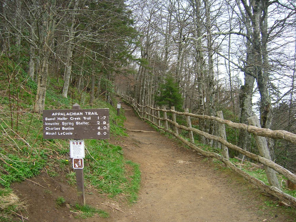
For those expecting to turn this into an overnight trip, Icewater Spring Shelter is only 3 miles into this segment, though its popularity and proximity to the trailhead mean it is frequently near its capacity. The Tricorner Knob Shelter lies directly in the middle, roughly 15.5 miles north of Newfound Gap.
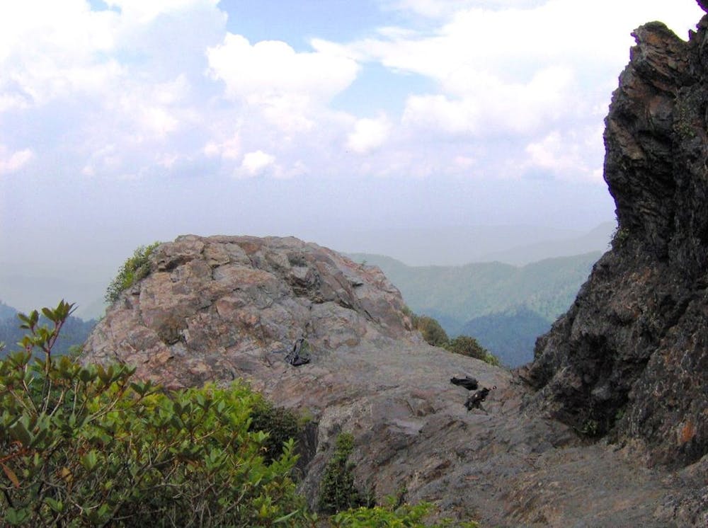
For those looking for a shorter hike, Charlies Bunion, a rare and picturesque rock outcropping, is an 8-mile round trip from Newfound Gap. According to Wikipedia, this rock formation, resting at 5,565' above sea level, "..comprises the western wing of the Sawteeth, a series of narrow, jagged cliffs connecting the high peaks of the Central Smokies with the high peaks of the Eastern Smokies."
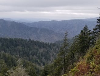
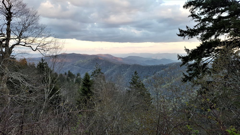
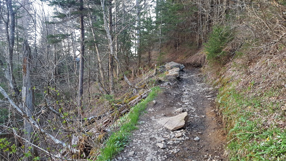
Heading north, an incredibly difficult stretch of trail lies between Charlies Bunion and Tricorner Knob. Your reward for completing this rugged piece of the Smokies is the view from atop Mount Guyot, the 4th highest mountain in the Eastern United States.
The final portion of this loop is a long, and often steep, descent down to the Davenport Trail Shelter, just before reaching the Pigeon River and Interstate 40 intersection.
Worth noting, this portion of the Appalachian Trail falls almost entirely within the boundaries of the National Park Service, meaning dogs are not allowed to use the trail. If you are completing a thru-hike with your dog, research your options for this segment, as you do have some alternatives. Sources: https://www.nps.gov/grsm/planyourvisit/chimneys-alternative-charlies-bunion.htm https://en.wikipedia.org/wiki/MountGuyot(GreatSmokyMountains) https://en.wikipedia.org/wiki/CharliesBunion
Difficult
Hiking trails where obstacles such as rocks or roots are prevalent. Some obstacles can require care to step over or around. At times, the trail can be worn and eroded. The grade of the trail is generally quite steep, and can often lead to strenuous hiking.

The trail contains some obstacles such as outcroppings and rock which could cause injury.

Little chance of being seen or helped in case of an accident.
3.2 km away
A popular route to the summit of Mount LeConte.
Difficult Hiking
4.9 km away
Steep climb to a popular viewpoint near a craggy summit.
Difficult Hiking
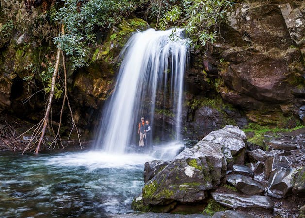
6.7 km away
An epic 2 - 3 night overnight hike showcasing some of the best mountaintop views in the Smokies!
Severe Hiking
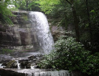
8.4 km away
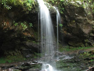
A short hike to a picturesque 25' waterfall that you can walk behind!
Moderate Hiking
8.8 km away
The western terminus for North Carolina's Mountains to Sea Trail.
Difficult Hiking
8.8 km away
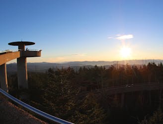
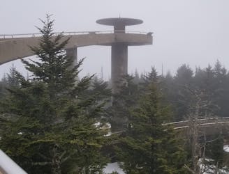
Paved path to an observation tower at the highest point in Great Smoky Mountains National Park.
Easy Hiking
9 km away
The Rainbow Falls Trail is a challenging, yet rewarding hike to the highest waterfall in the Smokies!
Difficult Hiking

58 routes · Hiking
10 routes · Hiking

7 routes · Hiking

16 routes · Hiking

10 routes · Hiking
6 routes · Hiking
4 routes · Hiking