9.2 km away
Pinecone -> CMG Shuttle
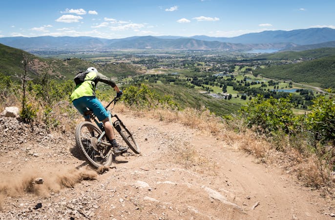
Descend the delightful Pinecone Trail into the heart of PCMR.
Moderate Mountain Biking
- Distance
- 18 km
- Ascent
- 173 m
- Descent
- 1 km
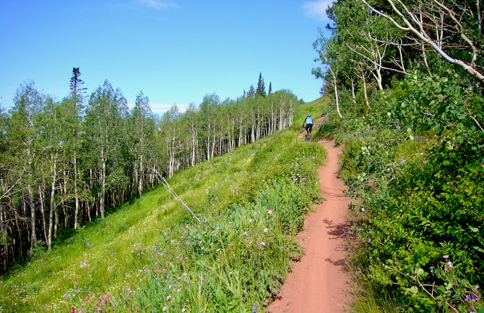
A moderate climb for 8 miles through shady pine trees ending at a small lake
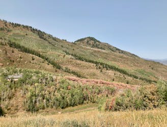
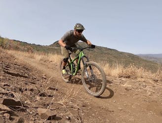
Mountain Biking Difficult
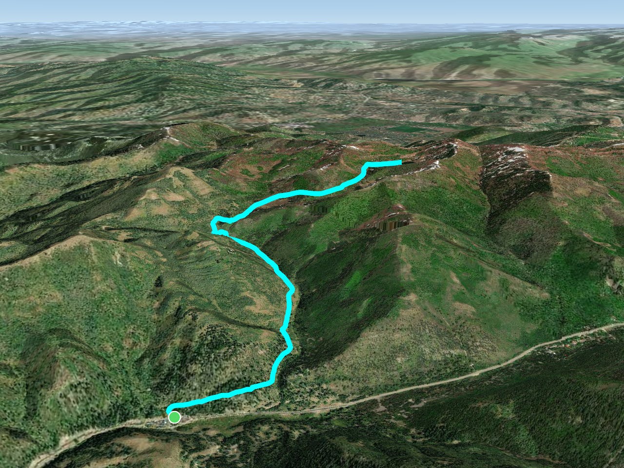
This is a popular mountain biking route which is generally considered to be difficult. It's an unknown remoteness, it features unknown exposure and is typically done in an unknown time of year. From a low point of 2.2 km to the maximum altitude of 2.8 km, the route covers 12 km, 606 vertical metres of ascent and 606 vertical metres of descent.
This is an moderate/difficult 8 mile roundtrip with an elevation gain of 1,700 feet. The uphill can be difficult in areas where steep pitches and roots abound. The downhill will more than make up for the uphill challenge.
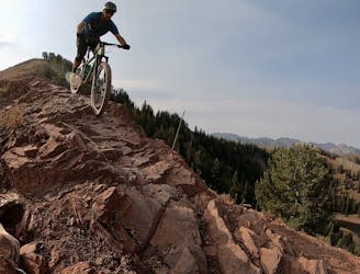
Difficult
Mostly stable trail tread with some variability featuring larger and more unavoidable obstacles that may include, but not be limited to: bigger stones, roots, steps, and narrow curves. Compared to lower intermediate, technical difficulty is more advanced and grades of slopes are steeper. Ideal for upper intermediate riders.
9.2 km away
Descend the delightful Pinecone Trail into the heart of PCMR.
Moderate Mountain Biking
9.2 km away
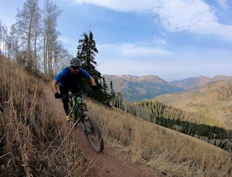
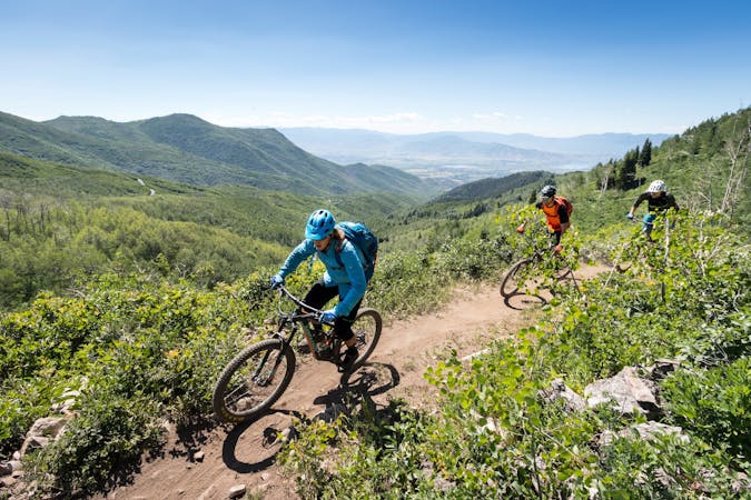
Wasatch Crest to Kimball Junction, via UOP.
Difficult Mountain Biking
9.2 km away
Combine the old and the new on this top-to-bottom Park City shuttle.
Difficult Mountain Biking
9.2 km away
Wasatch Crest shuttle dropping to Mounthaven via the Mill D North Fork Trail.
Difficult Mountain Biking
9.2 km away

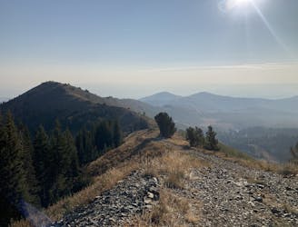
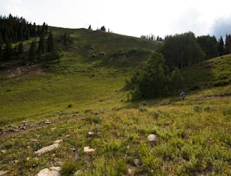
Gorgeous ridge top singletrack riding with a ripping descent to finish—the best trail in Park City!
Difficult Mountain Biking
9.2 km away
Gorgeous ridge top singletrack riding with long singletrack descent all the way down to Salt Lake City far, far below!
Difficult Mountain Biking
9.2 km away
A superb shuttle option from the top of Guardsman Pass if you've already ridden the Wasatch Crest Trail one too many times.
Difficult Mountain Biking
9.2 km away
This is a superb shuttle option from the top of Guardsman Pass if you've already ridden the Wasatch Crest Trail one too many times.
Difficult Mountain Biking
10 routes · Mountain Biking

25 routes · Mountain Biking

10 routes · Mountain Biking
5 routes · Mountain Biking
5 routes · Mountain Biking
8 routes · Mountain Biking

20 routes · Mountain Biking