1.1 km away
Corvair Shuttle
An easily-accessible shuttle route off of Guardsman Pass Road
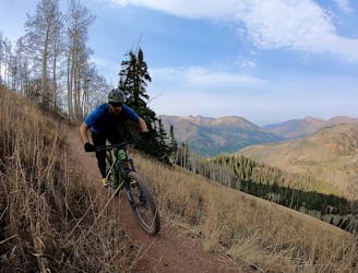
Difficult Mountain Biking
- Distance
- 15 km
- Ascent
- 163 m
- Descent
- 788 m
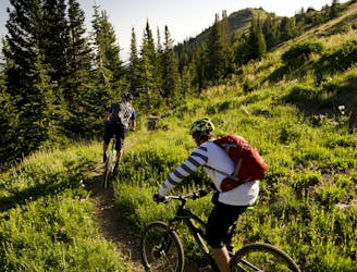
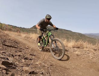
Intermediate singletrack.
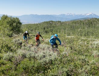
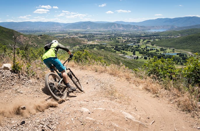
Mountain Biking Moderate

This is a popular mountain biking route which is generally considered to be moderate. It's an unknown remoteness, it features unknown exposure and is typically done in an unknown time of year. From a low point of 2.5 km to the maximum altitude of 2.6 km, the route covers 1.2 km, 1 vertical metres of ascent and 66 vertical metres of descent.
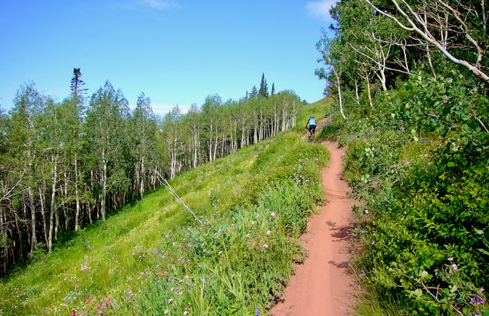
Intermediate singletrack connecting the Mid Mountain trail to John's 99. This trail helps form an alternate sidehill traverse in this zone, instead of riding the Mid Mountain Trail.
Moderate
Mostly stable trail tread with some variability, with unavoidable obstacles 8in/20cm tall or less. Other obstacles such as rock gullies and steep sections may exist. Ideal for lower intermediate riders.
1.1 km away
An easily-accessible shuttle route off of Guardsman Pass Road
Difficult Mountain Biking
2.4 km away
The WOW trail connects Park City with Midway and Heber City, making for both a great shuttle run and a pedal-driven connection.
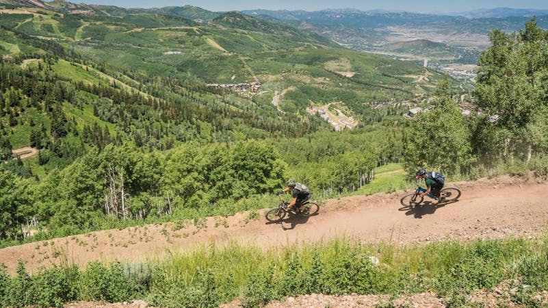
Moderate Mountain Biking
2.7 km away

A double black diamond old school DH line
Extreme Mountain Biking
2.7 km away

Tidal Wave offers over 50 intermediate-friendly table top jumps
Difficult Mountain Biking
2.7 km away

Old school fall line DH riding at its finest.
Extreme Mountain Biking
3.6 km away

Gorgeous ridge top singletrack riding with a ripping descent to finish—the best trail in Park City!
Difficult Mountain Biking
3.6 km away
Gorgeous ridge top singletrack riding with long singletrack descent all the way down to Salt Lake City far, far below!
Difficult Mountain Biking
3.6 km away
Combine the old and the new on this top-to-bottom Park City shuttle.
Difficult Mountain Biking
3.6 km away
Wasatch Crest shuttle dropping to Mounthaven via the Mill D North Fork Trail.
Difficult Mountain Biking
3.6 km away
This is a superb shuttle option from the top of Guardsman Pass if you've already ridden the Wasatch Crest Trail one too many times.
Difficult Mountain Biking
10 routes · Mountain Biking

25 routes · Mountain Biking
8 routes · Mountain Biking

10 routes · Mountain Biking
5 routes · Mountain Biking
5 routes · Mountain Biking
8 routes · Mountain Biking

20 routes · Mountain Biking