2.5 km away
Scotty's Bowl
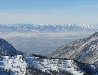
Scotty's is a classic north facing roadside attraction in upper Little Cottonwood Canyon.
Difficult Ski Touring
- Distance
- 1.8 km
- Ascent
- 23 m
- Descent
- 754 m

Probably one of the best kept secrets in the Wasatch! Icefall is almost 2,000 feet long with a wide open headwall, tight chute and fun gully finish.
Ski Touring Difficult

Park at the White Pine trailhead on the S side of the road in upper Little Cottonwood Canyon. Follow the trail/road that switches back and enters the upper valley. Continue straight up the middle of the drainage winding through trees heading toward Red Baldy. You can hit the gully in the center of the canyon or stick to the trees on the left. This will deposit you at the base of the huge N facing slope of Red Baldy. This can be a tricky slope to ascend without exposing yourself to avalanche danger, so make sure conditions are good. Zig-zag up the lower slopes and gain the ridge on the left (E) side as soon as possible. Work up the ridge until you reach the divide. You'll be able to look down the slope to the S and find a good entry into the Icefall run.
Icefall run starts off the south side of Red Baldy, one of the tallest and most iconic peaks in the Wasatch. It starts in a wide open bowl with slopes in the mid 30's and rolls over into a tight chute past a large icefall. The line continues through a fun gully and spits you out low down in the drainage. Due to it's S aspect the snow stabilizes well in general, giving it relative stability. Due to the remoteness of the run it sees little traffic and can be great in powder or corn. Once you've descended, you can skin back up the drainage to the saddle between American Fork Twin Peaks and Red Baldy. From here there is good skiing down from the col, or you can ascend the ridge toward Twin Peaks and ski the Tri-Chutes, then finish by skiing out White Pine and back to the trailhead.
Difficult
Serious gradient of 30-38 degrees where a real risk of slipping exists.
2.5 km away

Scotty's is a classic north facing roadside attraction in upper Little Cottonwood Canyon.
Difficult Ski Touring
5.4 km away

Probably the longest, most consistent rock-lined chute in the Wasatch if you're into that sort of thing.
Severe Ski Touring
5.4 km away

The Dresden is one of the longest and most continually steep faces in the Wasatch.
Severe Ski Touring
8.5 km away

Stairs Gulch is 4,000 feet long, serious with a combination of a steep, technical chute and a flat, more mellow finish.
Difficult Ski Touring
8.7 km away

Old Growth chute is a mini classic that provides great rock wall lined ambience and easy access.
Difficult Ski Touring
8.9 km away

Virginia Slims is the fun dogleg chute next to the more popular Old Growth chute in the lower reaches of Cardiff Fork.
Difficult Ski Touring
9.5 km away
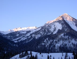
A big fun run off of Kessler Peak with some great chute and trees skiing involved.
Difficult Ski Touring
9.9 km away
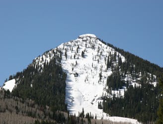
This is the huge avalanche path that's visible from the road on the N slope of Kessler Peak.
Difficult Ski Touring
18 routes · Resort Ski Touring · Ski Touring
8 routes · Freeride Skiing · Ski Touring