1 m away
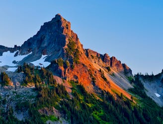
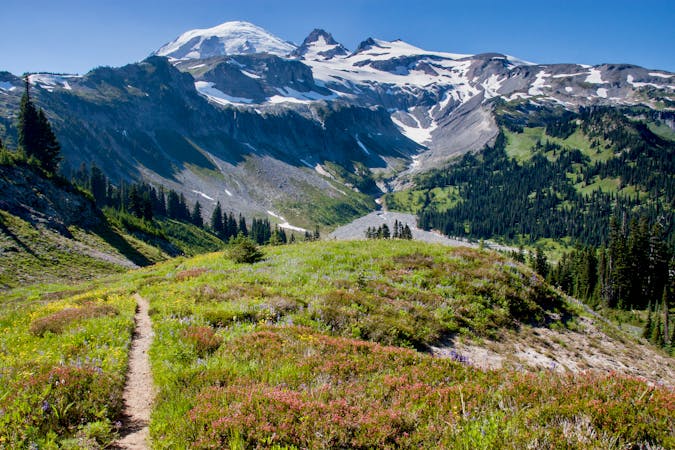
Skyline Loop Trail and Panorama Point
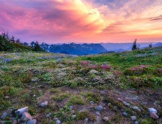
One of the most beautiful hikes in Washington State!
Moderate Hiking
- Distance
- 9 km
- Ascent
- 543 m
- Descent
- 543 m
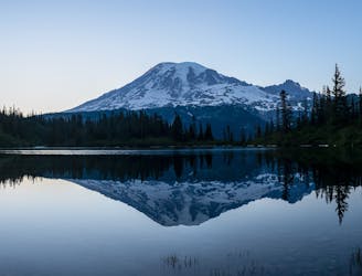
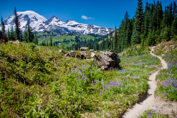
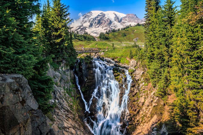
Reach a stunning view of Myrtle Falls framed by Mount Rainier.
Hiking Easy

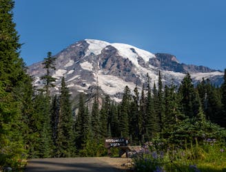
This short hike along the Skyline Trail to the Myrtle Falls overlook is one of the most popular easy hikes in Mount Rainier's Paradise area. The trailhead for this hike is directly accessible from the main Paradise Visitor Center parking lot. Paradise is by far the most popular area of the national park, so be sure to arrive early to score a parking spot.
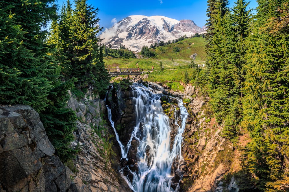
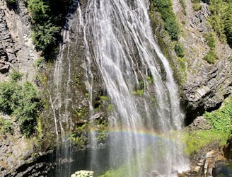
Myrtle Falls is a beautiful 72-foot-tall cascade framed by Mount Rainier in the background. This stunning view of both the most prominent mountain in the Lower 48 plus an incredible waterfall makes this overlook one of the most popular spots for photographers in Mount Rainier National Park. "Expect to mingle with photographers bristling with tripods," quips VisitRainier.com.
The hike itself is an easy 0.4 miles one-way along a paved trail. To reach the viewpoint, you'll have to take a side trail that descends a steep staircase.
Sources: https://visitrainier.com/myrtle-falls/ https://www.wta.org/go-hiking/hikes/myrtle-falls https://www.nps.gov/mora/planyourvisit/day-hiking-at-mount-rainier.htm
Easy
Walking along a well-kept trail that’s mostly flat. No obstacles are present.

The path is on completely flat land and potential injury is limited to falling over.
Close to help in case of emergency.
1 m away
One of the most beautiful hikes in Washington State!
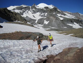
Moderate Hiking
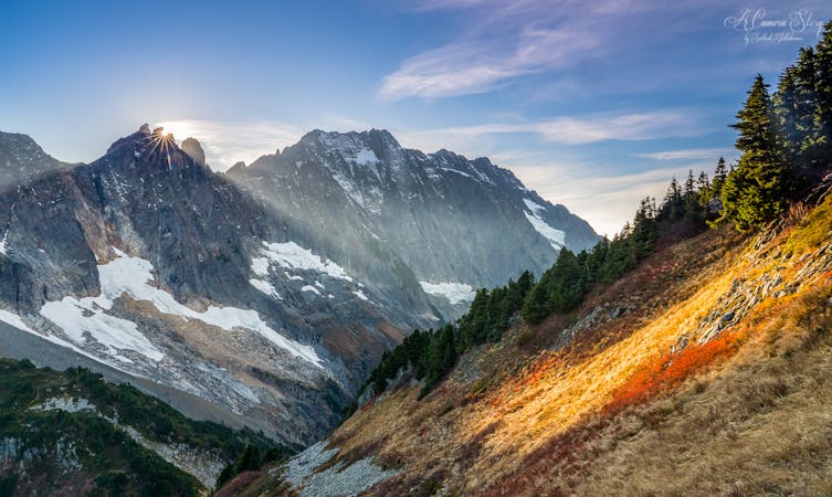
459 m away
An easy paved hike to a stunning overlook of a glacier-carved valley.
Easy Hiking
1.4 km away
Hike down to a beautiful vista of this 168-foot waterfall.
Moderate Hiking
2 km away
A steep hike and scramble to the summit of Pinnacle Peak.
Extreme Hiking
3 km away
Enjoy a high effort-to-view ratio on this beautiful hike to two alpine lakes.
Moderate Hiking
7.1 km away
A 93 mile (150 kilometer) hiking trail that circumnavigates Mount Rainier, one of North America's most iconic peaks.
Difficult Hiking
8 km away
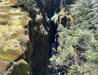
This narrow slot canyon is 180 feet deep, with a rushing river at the bottom!
Easy Hiking

6 routes · Hiking
10 routes · Hiking
5 routes · Hiking
5 routes · Hiking
3 routes · Hiking
8 routes · Hiking

19 routes · Hiking