1.1 km away
Nisqually Vista
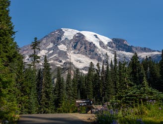
An easy paved hike to a stunning overlook of a glacier-carved valley.
Easy Hiking
- Distance
- 1.7 km
- Ascent
- 55 m
- Descent
- 55 m
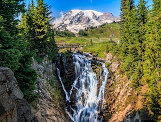
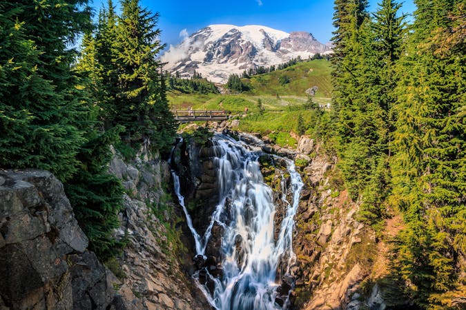
Hike down to a beautiful vista of this 168-foot waterfall.
Hiking Moderate

This hike down to Narada Falls might be short, but the view is definitely worth the stop!
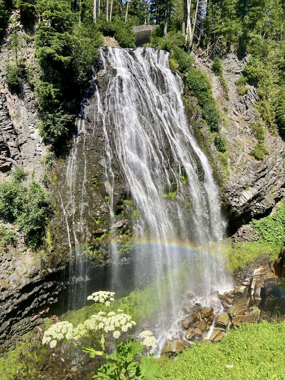
While you can see the waterfall from the observation point above, you can hike down the steep hillside to another viewpoint directly below the waterfall. That's the route shown here.
The hike down might be short, but it's steep. Especially in the lower reaches, you'll have to negotiate several rock ledges and a few other tricky spots to reach the lower viewpoint, which earns this hike its "Moderate" FATMAP rating, despite the short 0.3-mile distance.
When you reach the viewpoint, take a few minutes to absorb the incredible natural beauty before you!
"Narada Falls has an average width of 50 feet, as the Paradise River drops a nearly-vertical 168 feet over an andesite face," writes Ken Giesbers on WTA.org. "Andesite lava sometimes forms a columnar structure as it cools. The andesite at the base of Narada Falls is more fractured than at other places in the park," he continues.
Moderate
Hiking along trails with some uneven terrain and small hills. Small rocks and roots may be present.

The trail contains some obstacles such as outcroppings and rock which could cause injury.

Close to help in case of emergency.
1.1 km away
An easy paved hike to a stunning overlook of a glacier-carved valley.
Easy Hiking
1.4 km away
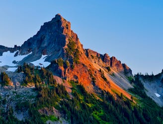
A steep hike and scramble to the summit of Pinnacle Peak.
Extreme Hiking
1.4 km away
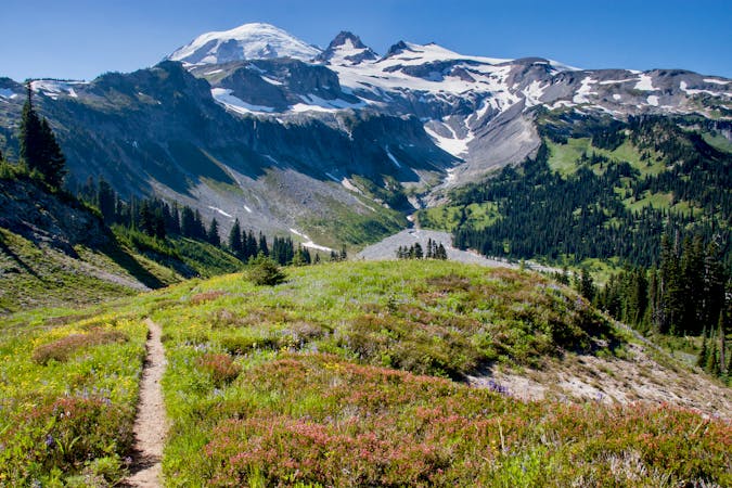
One of the most beautiful hikes in Washington State!
Moderate Hiking
1.4 km away
Reach a stunning view of Myrtle Falls framed by Mount Rainier.
Easy Hiking
3.1 km away
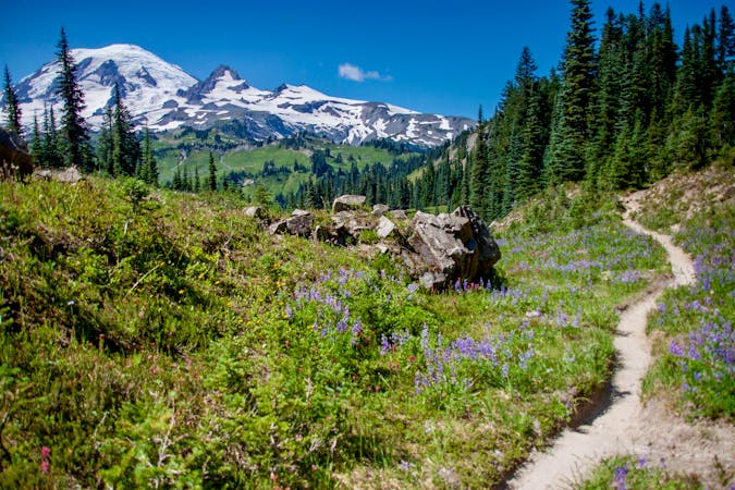
Enjoy a high effort-to-view ratio on this beautiful hike to two alpine lakes.
Moderate Hiking
5.8 km away
A 93 mile (150 kilometer) hiking trail that circumnavigates Mount Rainier, one of North America's most iconic peaks.
Difficult Hiking
8.6 km away
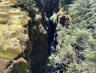
This narrow slot canyon is 180 feet deep, with a rushing river at the bottom!
Easy Hiking

6 routes · Hiking
10 routes · Hiking
5 routes · Hiking
5 routes · Hiking
3 routes · Hiking
8 routes · Hiking

19 routes · Hiking