5.8 km away
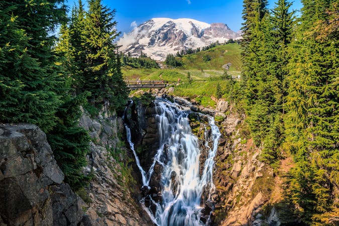
Narada Falls
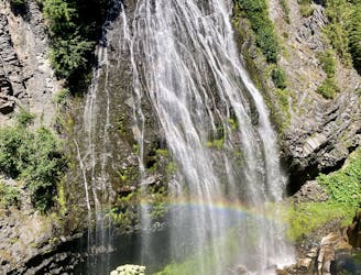
Hike down to a beautiful vista of this 168-foot waterfall.
Moderate Hiking
- Distance
- 432 m
- Ascent
- 31 m
- Descent
- 31 m
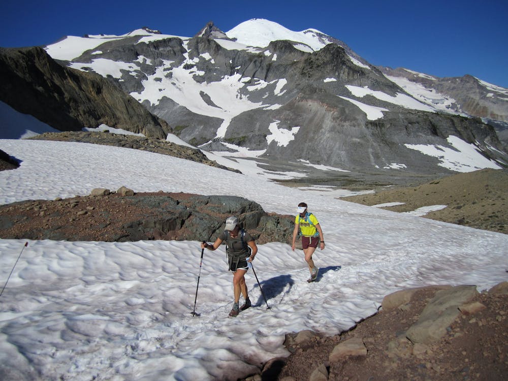
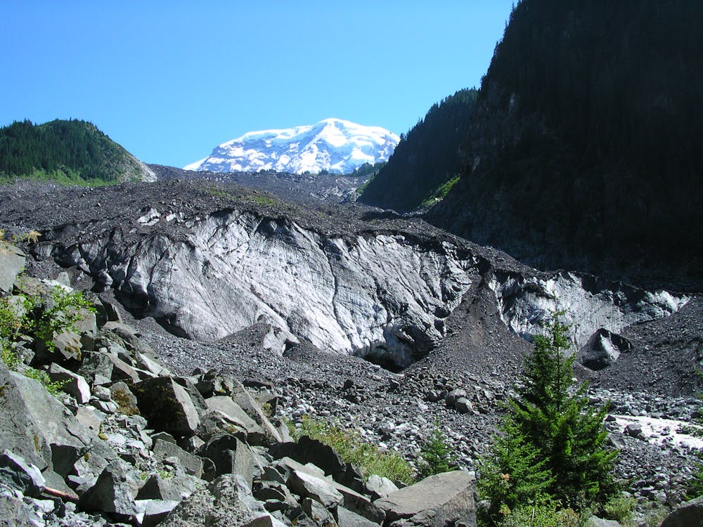
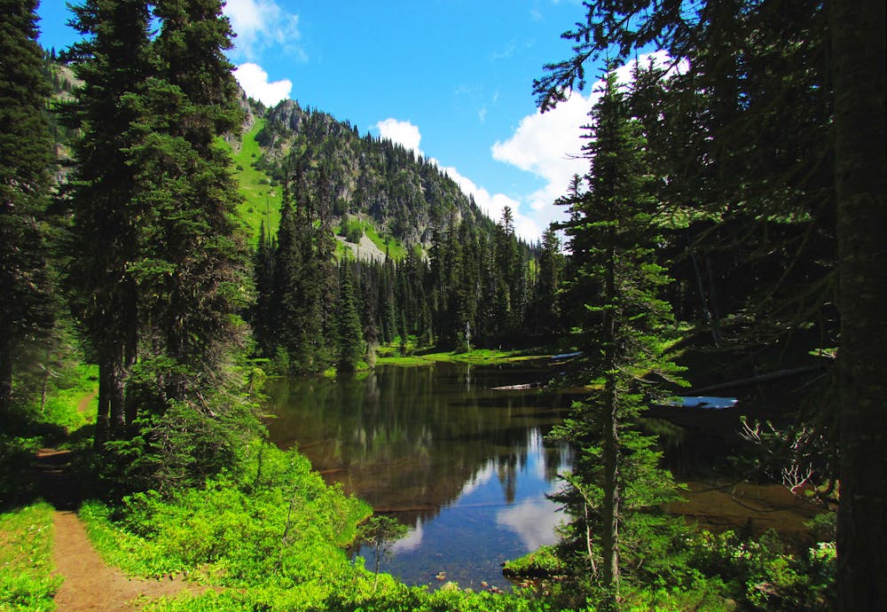
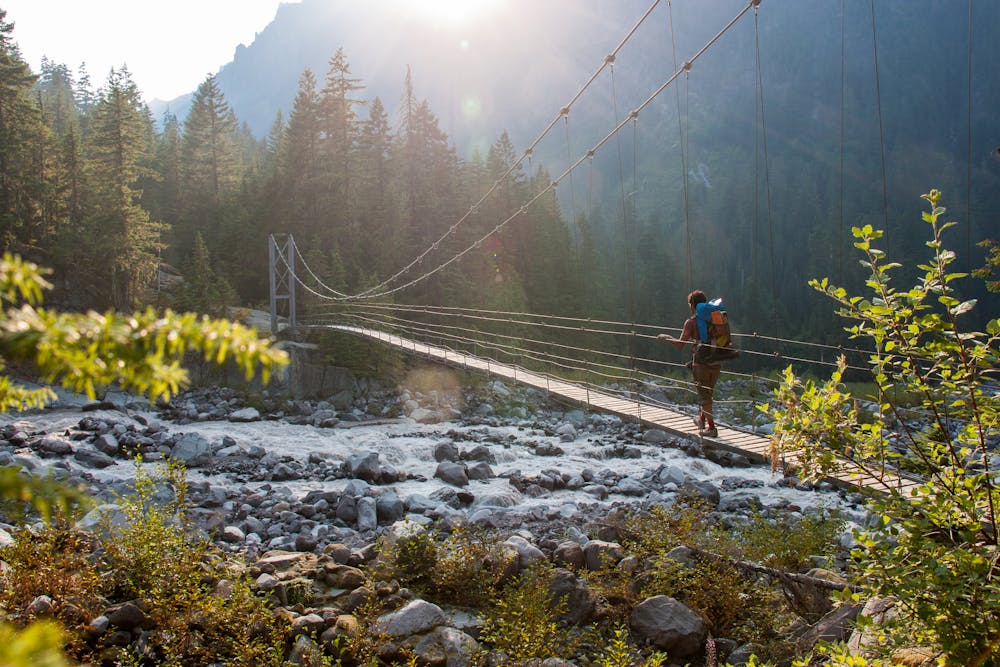
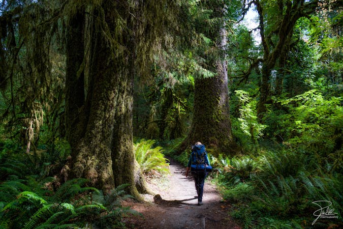
A 93 mile (150 kilometer) hiking trail that circumnavigates Mount Rainier, one of North America's most iconic peaks.
Hiking Difficult

Built back in 1915 and taking in 22,000 feet (6,700 metres) of elevation gain, this is a tough and historic journey that most hikers complete in 2 weeks-ish. Once underway the trail is rarely flat as it climbs and descends the various flanks of Rainier (including Panhandle Gap, which at 2600 metres is the highest altitude the trail reaches) but the constant effort is rewarded by a continual change of scenery, from deep forested valleys to sub-alpine meadows. There are 18 campsites on the trail, roughly 3 to 7 miles (5 to 11 kilometres) apart and these are unfailingly stunning. Every camp has cleared tent sites, a pit or composting toilet, bear pole for hanging food, and a nearby water source. A backcountry permit, including reservations for designated camping areas, is required to hike the Wonderland Trail and these can be obtained here - https://www.nps.gov/mora/planyourvisit/wilderness-permit.htm.

Difficult
Hiking trails where obstacles such as rocks or roots are prevalent. Some obstacles can require care to step over or around. At times, the trail can be worn and eroded. The grade of the trail is generally quite steep, and can often lead to strenuous hiking.
5.8 km away
Hike down to a beautiful vista of this 168-foot waterfall.
Moderate Hiking
6.5 km away
A steep hike and scramble to the summit of Pinnacle Peak.
Extreme Hiking
6.7 km away
An easy paved hike to a stunning overlook of a glacier-carved valley.
Easy Hiking
7.1 km away
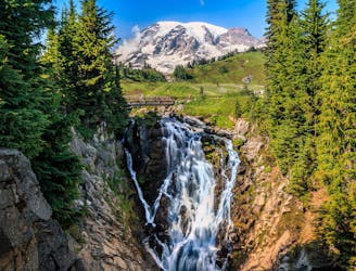
Reach a stunning view of Myrtle Falls framed by Mount Rainier.
Easy Hiking
7.1 km away
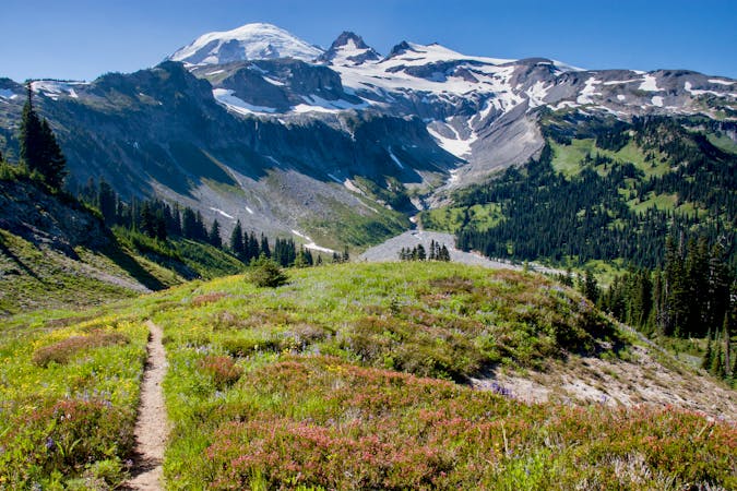
One of the most beautiful hikes in Washington State!
Moderate Hiking
8.2 km away
Enjoy a high effort-to-view ratio on this beautiful hike to two alpine lakes.
Moderate Hiking

6 routes · Hiking
10 routes · Hiking
5 routes · Hiking
5 routes · Hiking

3 routes · Hiking
8 routes · Hiking

19 routes · Hiking