148 m away
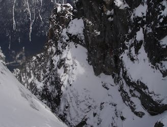
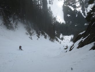
Bryant Chute
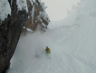
What some may consider the safe way to access a great line in the Alpental Backcountry
Difficult Ski Touring
- Distance
- 6 km
- Ascent
- 698 m
- Descent
- 699 m
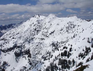
A Stunning route making the most of the terrain west of Snoqualmie Pass
Ski Touring Difficult

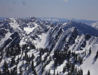
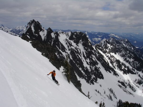
For me personally there is something special about linking up numerous lines in a single ski tour, this one does it. While the Alpental Valley and Granite Mountain are quite popular the terrain in-between is not. The highlight of this is riding down the South side of Kaleetan Peak all the way to the Pratt River. There needs to be a bit of preplanning if you are going to do this trip as you will need 2 cars. Also remember that you have to be 100% self sufficient with map reading skills as it can be quite complicated once outside of the alpine. Now onto the route description.


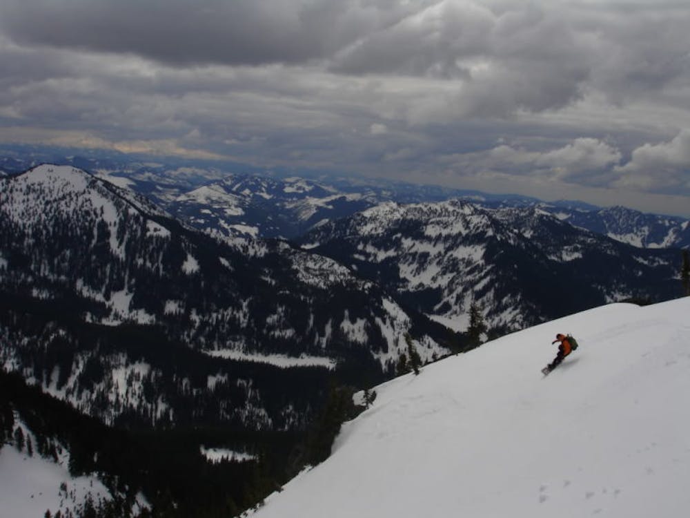
Starting off at the Alpental Parking lot you need to start skinning towards Source Lake. Once at the base of the valley where the slopes start to rise you need to start heading west and lookers left of the main gully (Bryant Peak Couloir) towards the col just north of Bryant Peak. Instead of going to the main col you need to climb up to the next col to the north. Once on top you can ride all the way down to Melakwa Lake. From here start head north up the valley and once near the pass start climbing the East Wall until arriving on the South Ridge of Kaleetan Peak. Keep continuing up until soon enough you are on the summit.
It is a bit intimidating looking to the south and knowing what you will have to go through. You are about to leave the alpine and head through the forests getting up to Granite Mountain. Dropping into the southern ramp soon it will start heading Southwest following the main drainage until it flows into the Pratt River. If this tour is done early enough it is a really easy crossing where you don’t even have to get your feet wet. Almost directly across the shore line you will spot a small stream heading south climbing up to Lower Tuscohatchie Lake. Head across the lake than Southwest towards the Upper Lake. Now you just below Granite Mountain and past the crux of the trip.
From Upper Tuscohatchie Lake head southwest up the lightly treed slope and with some good navigation you will arrive on the west ridge of Granite Mountain. Follow this ridge up until arriving on the summit where you now gave a view of most of your route with your line off Kaleetan rising above the surrounding mountains. It is time to take your final descent down the South face. You must be super cautious as this is a huge avalanche slope so proceed only if you know it won’t slide. A wet slide under you is semi normal but getting caught in an avalanche slab would be fatal. Ride down as far as the snow would allow but once it gets too thin head off to the Granite Mountain trail and walk down to the trailhead. Enjoy but please be careful not to get lost.
To see my trip in the area and more photos check out this link https://www.whereiskylemiller.com/snoqualmie-pass/alpental-granite-traverse/
Difficult
Serious gradient of 30-38 degrees where a real risk of slipping exists.

As well as the slope itself, there are some obstacles (such as rock outcrops) which could aggravate injury.

Little chance of being seen or helped in case of an accident.
148 m away
What some may consider the safe way to access a great line in the Alpental Backcountry
Difficult Ski Touring
192 m away
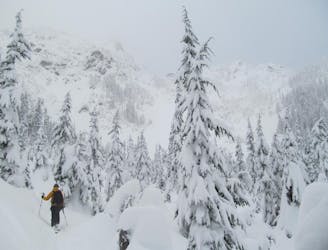
A great way to access Snow Lake but also a good run on its own
Moderate Ski Touring
425 m away
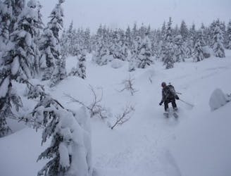
Possibly the best tree skiing zone within the ski resort areas of Washington
Difficult Ski Touring
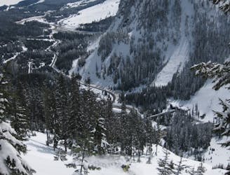
500 m away
One of if not the most popular ski tours within Snoqualmie Pass
Difficult Ski Touring
2.4 km away
A great link up of two lines in Commonwealth Basin
Difficult Ski Touring
2.6 km away
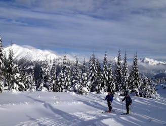
An option when avalanche conditions aren't good and you want to play it safe
Easy Ski Touring
2.6 km away
Snoqualmie Pass to Meany Lodge
Moderate Ski Touring
6.1 km away
A direct line fro Kendal Lakes to the Gold Creek Valley
Difficult Ski Touring
6.1 km away
A north facing slope stacked with chutes
Difficult Ski Touring

11 routes · Ski Touring
8 routes · Ski Touring