204 m away
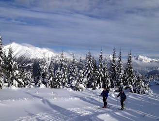
Kendall Stumps
An option when avalanche conditions aren't good and you want to play it safe
Easy Ski Touring
- Distance
- 3.7 km
- Ascent
- 524 m
- Descent
- 524 m
A great link up of two lines in Commonwealth Basin
Ski Touring Difficult

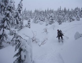
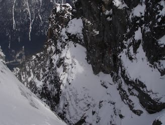
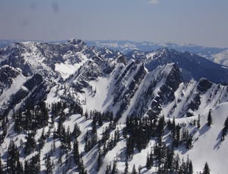
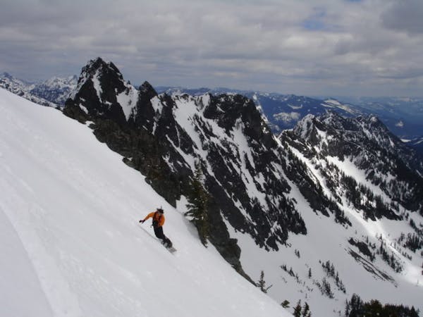
There are some areas near Snoqualmie Pass that see a lot of traffic while other places see barely any, the Commonwealth basin falls into the later category. In my opinion the reason for this comes down to parking as this basin holds lines on numerous aspects with enough terrain to keep people busy for days. With Lunden Peak and Red Mountain being at the end of this valley those two summits are a great link up and that is only scratching the surface. These lines are good in powder but also incredibly dangerous as it’s not unheard of to have disastrous avalanches out there so proceed only when you know snow conditions are safe. These routes really are best (in my opinion) when rode in Spring corn.
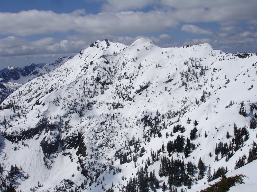
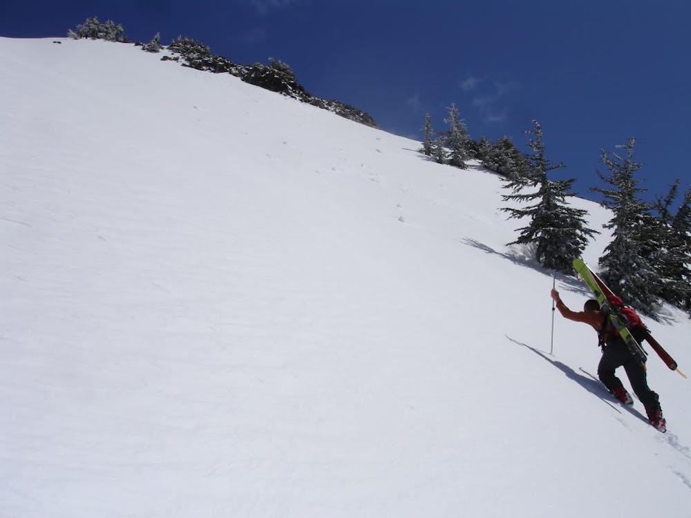
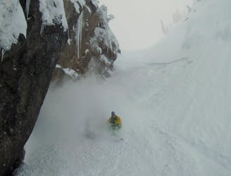
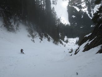
Driving off the Summit West exit of I-90 take a left and once past the bridge immediately park the car. Leaving from the trailhead start making your way up the Pacific Crest trail then take a left onto the Old Commonwealth Trail weaving trough the dense forests. Before long the trail will start climbing up the Southern Ridge of Red Mountain staying on a tree covered ridge before traversing through a gully towards Red Pond. If conditions are stable start climbing up the Southwest face, soon enough you will probably have to switch to cramponing as it gets quite steep. From start to end remember that you are on an exposed southern face so if you start seeing any signs of potential wet slides immediately turn back. If things go smoothly just keep climbing until you reach the top and prepare for a nice and steep descent.
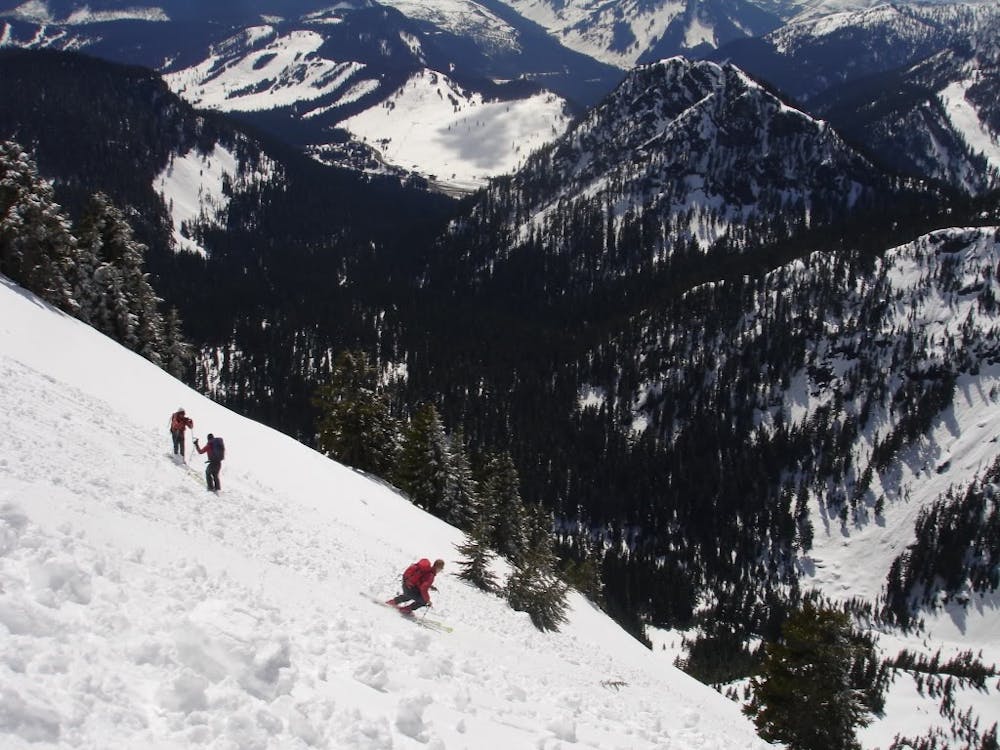
Riding down Red Peak you need to be cautious of causing wet slides as you descend. It is best that everyone doesn’t ski it all at once and to make a few turns then traverse to a safer spot. Then keep an eye on your partner as they descend until you arrive at a spot just below Red Pond.
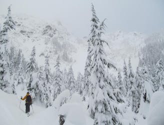
From this spot make a small traverse East wrapping around the ridge then into Lundin Basin. Once you are in semi spaced trees start climbing making sure to space your group out while climbing. Stay in the semi anchored trees making your way all up to the ridge. Since the true summit is rocky it is not worth going there and instead just ride the main drainage all the way down into the valley. Once in the flats start heading a hard skiers left which will reconnect with the Old Commonwealth trail and make your way back down to the car.
To see my trip in the area and more photos check out this link https://www.whereiskylemiller.com/snoqualmie-pass/lundin-peak-red-peak/
Difficult
Serious gradient of 30-38 degrees where a real risk of slipping exists.

As well as the slope itself, there are some obstacles (such as rock outcrops) which could aggravate injury.

Little chance of being seen or helped in case of an accident.
204 m away
An option when avalanche conditions aren't good and you want to play it safe
Easy Ski Touring
321 m away
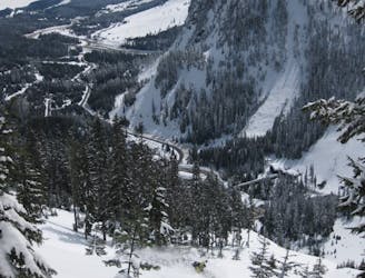
Snoqualmie Pass to Meany Lodge
Moderate Ski Touring
2 km away
One of if not the most popular ski tours within Snoqualmie Pass
Difficult Ski Touring
2 km away
Possibly the best tree skiing zone within the ski resort areas of Washington
Difficult Ski Touring
2.4 km away
A Stunning route making the most of the terrain west of Snoqualmie Pass
Difficult Ski Touring
2.5 km away
What some may consider the safe way to access a great line in the Alpental Backcountry
Difficult Ski Touring
2.5 km away
A great way to access Snow Lake but also a good run on its own
Moderate Ski Touring
3.7 km away
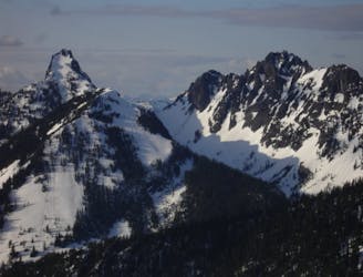
A direct line fro Kendal Lakes to the Gold Creek Valley
Difficult Ski Touring
3.7 km away
A north facing slope stacked with chutes
Difficult Ski Touring

11 routes · Ski Touring
8 routes · Ski Touring