115 m away
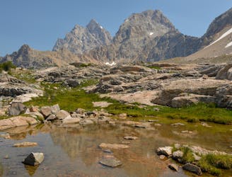
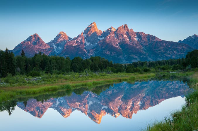
Grand Teton Lower Saddle
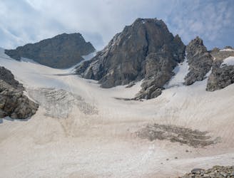
Epic trek to the saddle in between the Middle and Grand Teton.
Extreme Hiking
- Distance
- 19 km
- Ascent
- 1.5 km
- Descent
- 1.5 km
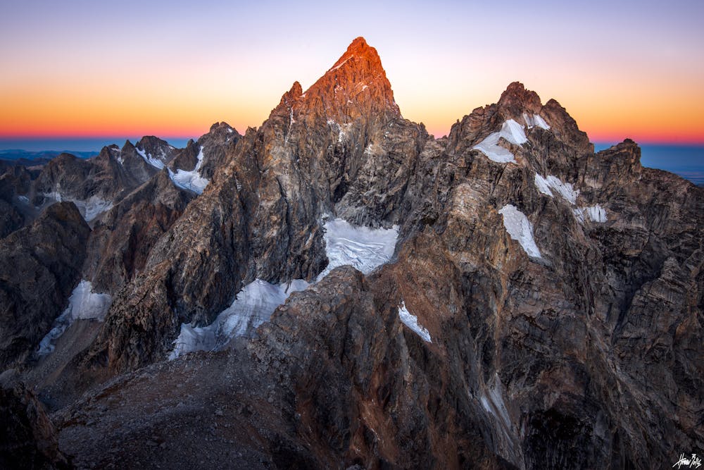
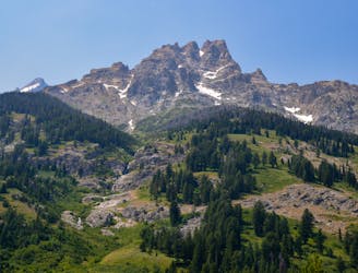
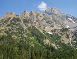
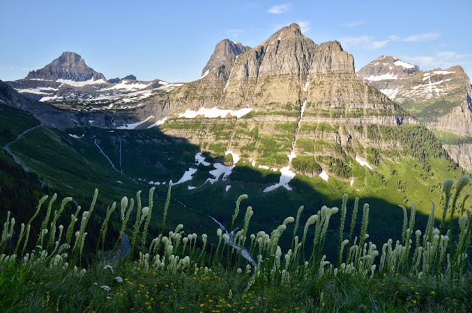
Dare I say it... the best views in Grand Teton National Park? I think so! Teewinot mountain is an absolute stunner of a peak to climb in GTNP. High Class 4 and exposure present.
Hiking Extreme

The summit of Teewinot mountain boasts grandiose views of the North Face of the Grand Teton. This mountain does not play around as you gain around 5,500 ft. in a mere 2.5 miles. Steep! In addition, there is a class 4 crux that many consider to be low class 5, and many bring ropes for. I completed it without ropes, although downclimbing was a bit nerve racking. In comparison to Colorado 14ers, I would say Teewinot is harder than most, except perhaps the foure great traverses. Regardless, give it a shot, stay safe, and turn around it the going gets above your comfort level. Please see additional resources here to safely plan your route:
Extreme
Scrambling up mountains and along technical trails with moderate fall exposure. Handholds are necessary to navigate the trail in its entirety, although they are not necessary at all times. Some obstacles can be very large and difficult to navigate, and the grades can often be near-vertical. The challenge of the trail and the steepness of the grade results in very strenuous hiking. Hikes of this difficulty blur the lines between "hiking" and "climbing".

Some trail sections are extremely exposed where falling will almost certainly result in serious injury or death.

Away from help but easily accessed.
115 m away
Epic trek to the saddle in between the Middle and Grand Teton.
Extreme Hiking
115 m away
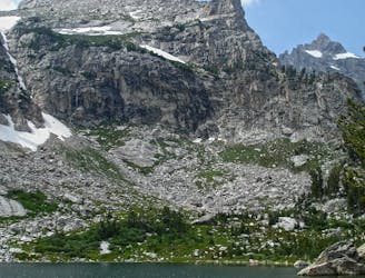
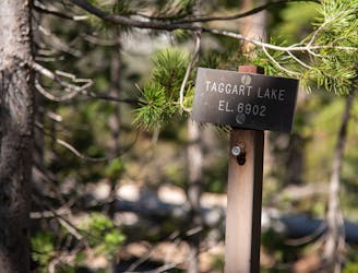
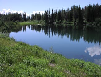
A day hike to one of the prettiest lakes in the Tetons!
Difficult Hiking
116 m away
A difficult day hike to stunning sub-alpine lakes shouldered by the highest peaks in the Tetons.
Difficult Hiking
1.8 km away
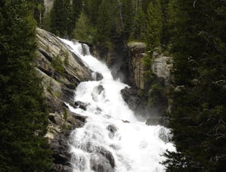
A shorter, family-friendly hike to the only year-round waterfall in Grand Teton National Park.
Moderate Hiking
2.1 km away
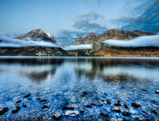
A easy lakeside hike with astounding views of the Tetons.
Easy Hiking
4.8 km away
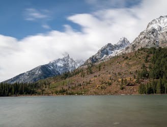
One of the most beautiful lake hikes in Grand Teton National Park.
Moderate Hiking
5.9 km away
One of the best short hikes in the Grand Teton National Park, and a great choice for everyone in the family.
Easy Hiking
5.9 km away
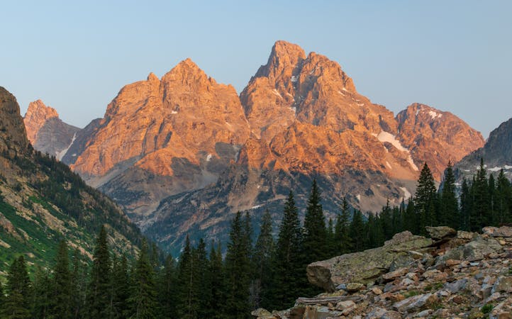
A long yet relaxing hike to three of the park's stunning glacial lakes, and a great option to enjoy the sunrise as it illuminates the mountainside.
Easy Hiking
7.9 km away
Incredible vistas combined with the highest lake in the Teton Range!
Moderate Hiking
9.2 km away
One final stretch through beautiful Cascade Canyon
Moderate Hiking
7 routes · Hiking

25 routes · Alpine Climbing · Hiking
5 routes · Alpine Climbing · Hiking
11 routes · Hiking · Trail Running

63 routes · Alpine Climbing · Hiking