Norgesvängen
Westside facing ascent often with magic snow.
Moderate Ski Touring
- Distance
- 2.3 km
- Ascent
- 49 m
- Descent
- 407 m
Explore Västerbotten with curated guides of the best routes. With over 9 3D trail maps in FATMAP, you can easily discover and navigate the best trails in Västerbotten.
No matter what your next adventure has in store, you can find a guide on FATMAP to help you plan your next epic trip.
Get a top trail recommendation in Västerbotten, or get inspired by the 9 local adventures uploaded by the FATMAP community. Start exploring now!
Westside facing ascent often with magic snow.
Moderate Ski Touring
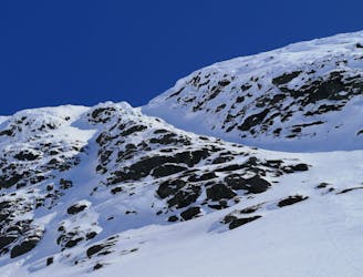
Steep run above the treeline
Severe Ski Touring

Steep run above the treeline
Moderate Ski Touring
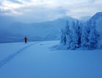
Use our legs and arms a bit to find excellent snow.
Moderate Ski Touring

Ski out from the system from B-E´s löpa.
Easy Freeride Skiing
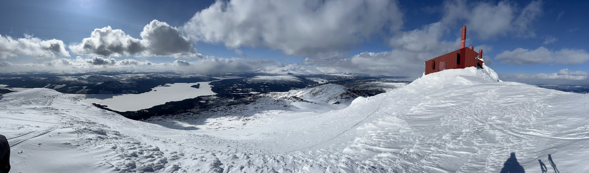
Beautiful peak easy accessible from E12
Moderate Ski Touring

This is the gpx data for the entire Kungsleden (north and south). It's northbound, meaning start ist south in Hemavan and destination is north in Abisko
Difficult Hiking
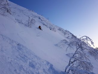
Kobåsets kändaste ränna, pretty steep, pretty exposed.
Difficult Freeride Skiing