1 routes
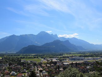
Explore Sankt Gallen with curated guides of the best hiking trails, trail running routes, and more. With over 23 3D trail maps in FATMAP, you can easily discover and navigate the best trails in Sankt Gallen.
No matter what your next adventure has in store, you can find a guide on FATMAP to help you plan your next epic trip.
Get a top trail recommendation in Sankt Gallen from one of our 2 guidebooks, or get inspired by the 23 local adventures uploaded by the FATMAP community. Start exploring now!
1 routes
An epic hike full of waterfalls, rolling green pastures, woodlands and steep climbs.
Moderate Hiking
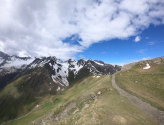
A 12.4km hike through a valley, meadows, woods and past a castle.
Moderate Hiking
A 17.7km hike through woodlands, valleys and marshland crossing over from Lichtenstein to Switzerland.
Moderate Hiking

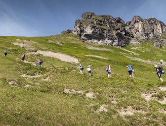
Experience 7 peaks in one tour. The mountain railways relieve you of part of the ascent effort. This leaves enough time to enjoy the unique view of the surrounding mountains and lakes.
Severe Hiking
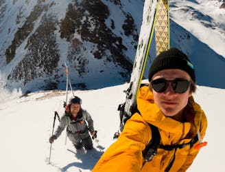
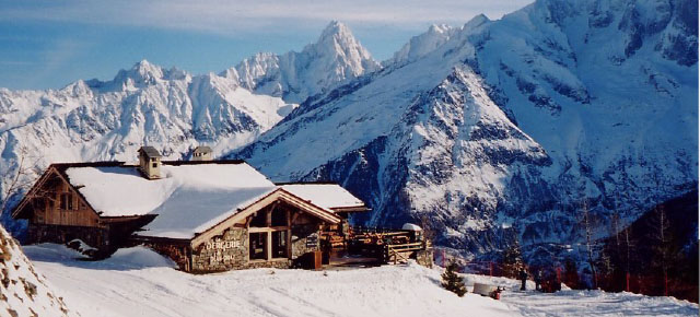
Getting lucky in the East of Switzerland
Moderate Freeride Skiing
Workshop series for all levels during summer season 2020
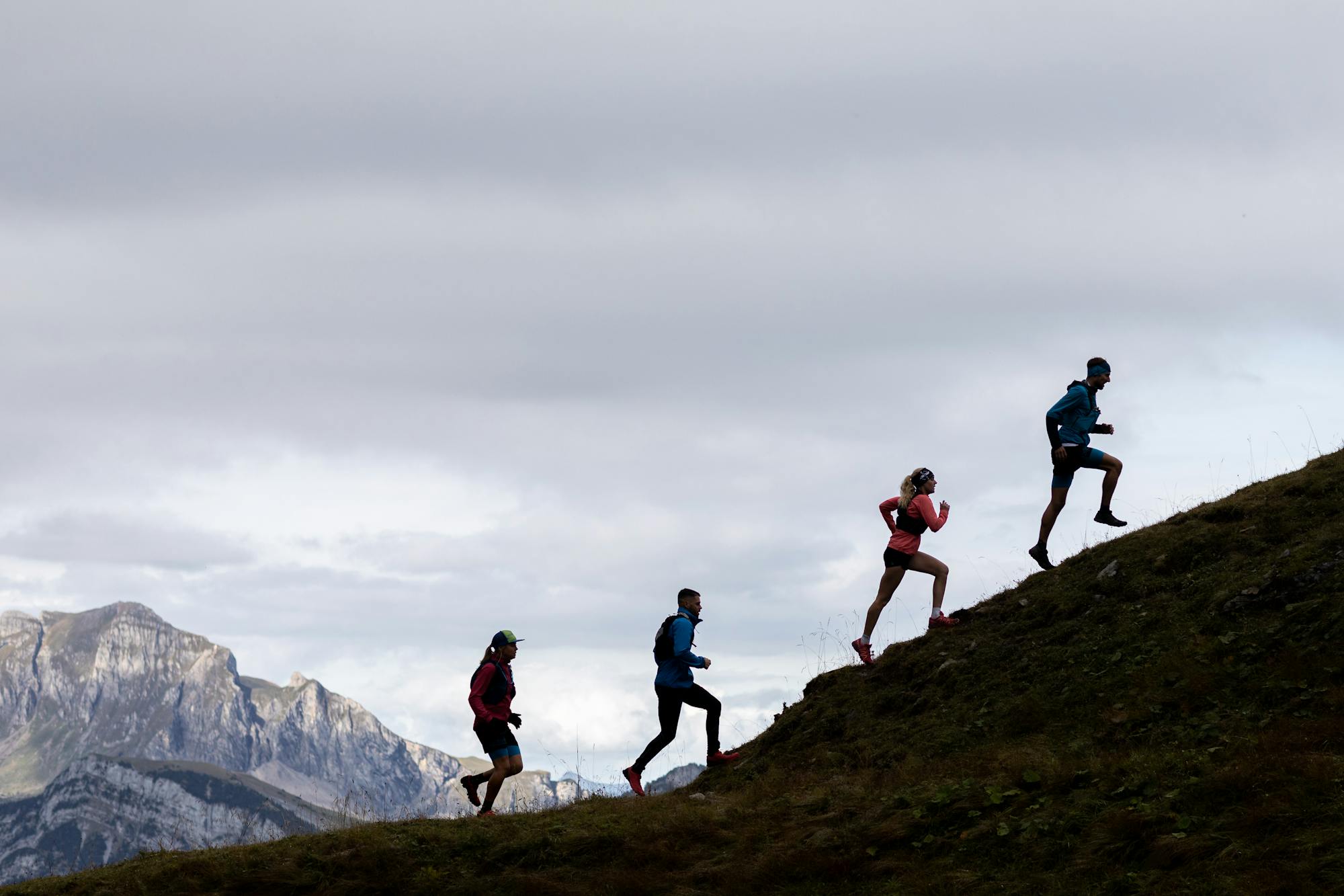
Moderate Trail Running

An easy hike through rolling hills.
Easy Hiking

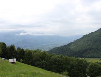
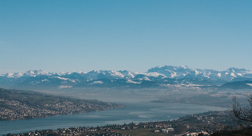
Enjoy views across the lake from start to finish.
Easy Hiking
10 routes · Hiking

15 routes · Hiking