La Planie

The transport route. Want Trail? You'll be spending plenty of time traversing back and forth, chatting and drinking in the view.
Moderate Mountain Biking
- Distance
- 9.8 km
- Ascent
- 179 m
- Descent
- 136 m
Explore Valais with curated guides of the best hiking trails, mountain bike trails, trail running routes, ski routes, and more. With over 726 3D trail maps in FATMAP, you can easily discover and navigate the best trails in Valais.
No matter what your next adventure has in store, you can find a guide on FATMAP to help you plan your next epic trip.
Get a top trail recommendation in Valais from one of our 73 guidebooks, or get inspired by the 726 local adventures uploaded by the FATMAP community. Start exploring now!
The transport route. Want Trail? You'll be spending plenty of time traversing back and forth, chatting and drinking in the view.
Moderate Mountain Biking

Amazing glacier views on the iconic Gornergrat trail
Severe Mountain Biking

A high alpine walk along beautiful ridge lines, past water falls to the stunning Lac des Veux.
Moderate Hiking

A steeper forest walk - ideal on a hot day
Easy Hiking

A rocky little number that is sunk into the north side of Savoleres mountain. It will keep you on your toes with tightness, relative speed and blind switchbacks. It feels like real riding.
Difficult Mountain Biking

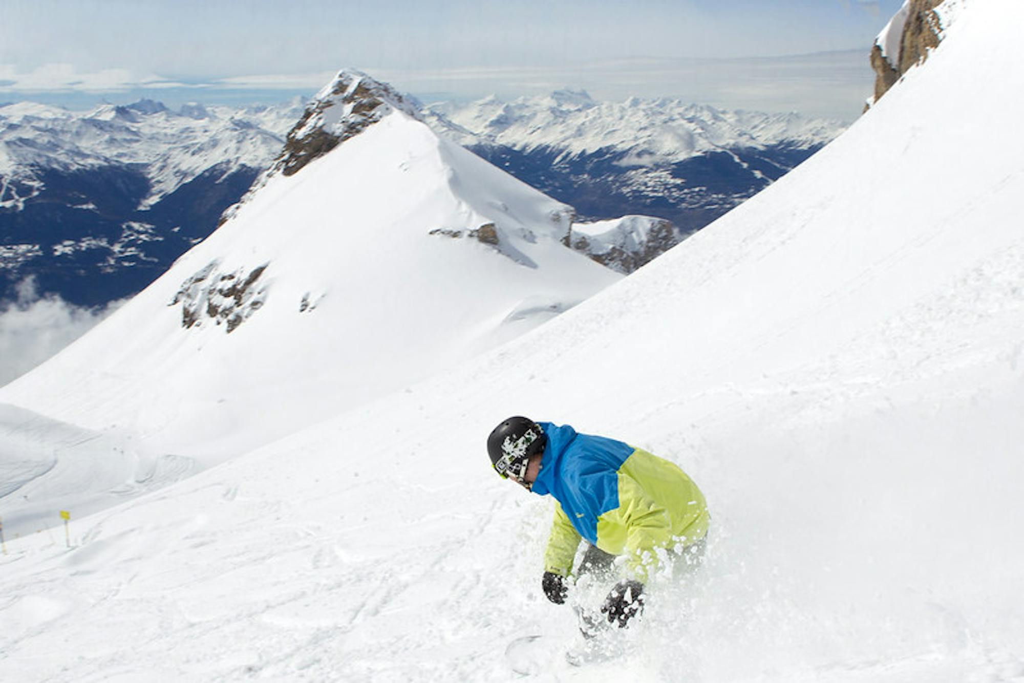
Access the 2000m threshold in ski touring and in complete safety: this is what this marked trail offers! A favorite also because of its exceptional panorama.
Difficult Resort Ski Touring