4.5 km away
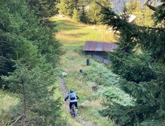
Wouaiy
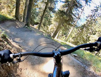
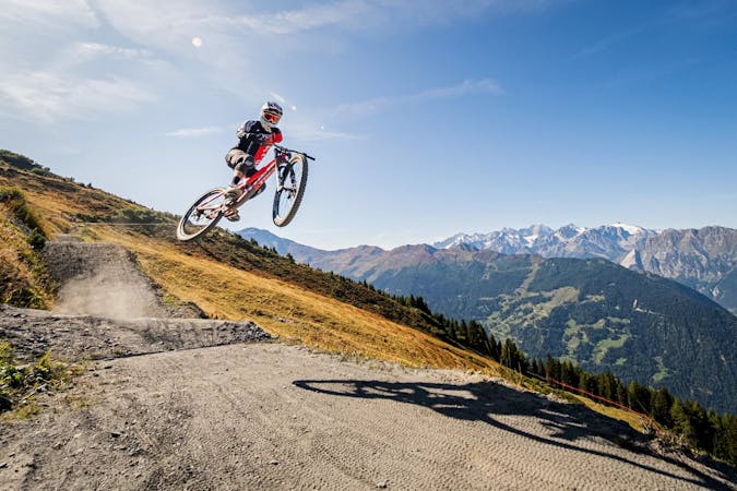
Wouaiy (like the sound you make when you ride this trail) is the most complete 'Bike Park' trail that has a extremely natural feeling to it.
Severe Mountain Biking
- Distance
- 4.2 km
- Ascent
- 0 m
- Descent
- 674 m
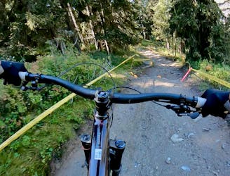
The transport route. Want Trail? You'll be spending plenty of time traversing back and forth, chatting and drinking in the view.
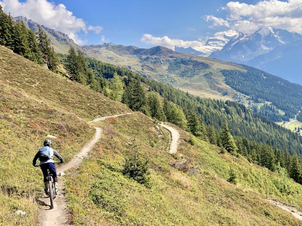
Mountain Biking Moderate

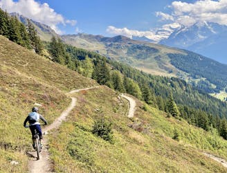
This is a popular mountain biking route which is generally considered to be moderate. It's an unknown remoteness, it features unknown exposure and is typically done in an unknown time of year. From a low point of 2.2 km to the maximum altitude of 2.2 km, the route covers 9.8 km, 179 vertical metres of ascent and 136 vertical metres of descent.
This is a 10 kilometre flat path that traverses from the far reaches of La Chaux to beneath the towering limestone peak of Pierre Avoi. Accessable from Ruinette, Croix de Coeur and a short descent from Savoleyres, it's the Verbier Autobahn.
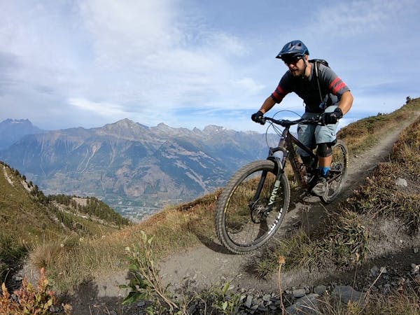
Moderate
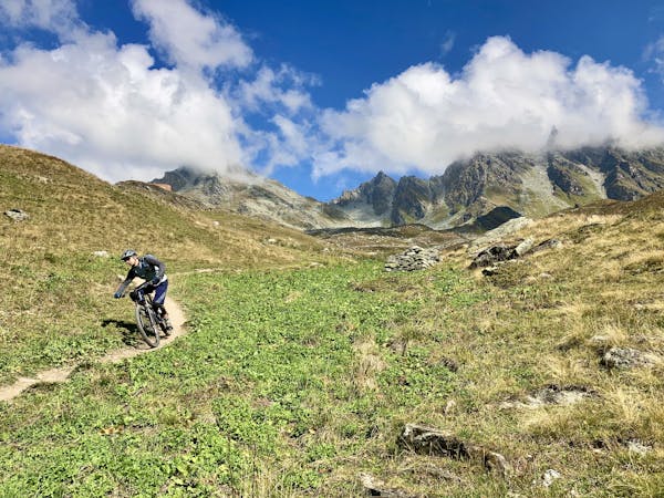
Mostly stable trail tread with some variability, with unavoidable obstacles 8in/20cm tall or less. Other obstacles such as rock gullies and steep sections may exist. Ideal for lower intermediate riders.
4.5 km away
Wouaiy (like the sound you make when you ride this trail) is the most complete 'Bike Park' trail that has a extremely natural feeling to it.
Severe Mountain Biking
4.5 km away
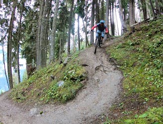
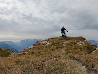
One of the most renowned enduro rides in Verbier.
Extreme Mountain Biking
4.5 km away
Getting from Verbier to La Tzoumaz Flow Trail and back
Moderate Mountain Biking
4.5 km away
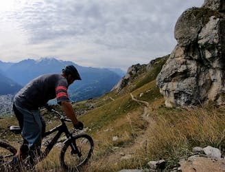
The best top-to-bottom run combination with Tsopu.
Difficult Mountain Biking
4.5 km away
Dip your toes into Verbier's enduro riding scene.
Severe Mountain Biking
4.5 km away
An epic point-to-point route from the Verbier bike park to Martigny.
Severe Mountain Biking
4.5 km away
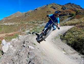
A mythical descent that should strike fear or excitement into any rider. Very long, very steep, very technical and very exposed. Not for the faint hearted or those with a fear of heights.
Severe Mountain Biking
4.5 km away
A fast, wide-open romp down from the hut at Croix de Coeur.
Moderate Mountain Biking
4.5 km away
A smooth rip down the mountainside.
Moderate Mountain Biking
4.5 km away
2,000 metres of extremely technical downhill riding that has been used for European and Swiss Cup downhill races!
Extreme Mountain Biking

25 routes · Mountain Biking
8 routes · Mountain Biking
7 routes · Mountain Biking
4 routes · Mountain Biking
10 routes · Mountain Biking