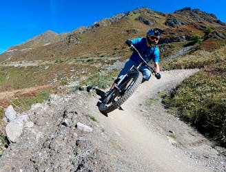
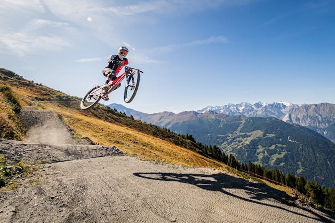
Tire's Fire
2,000 metres of extremely technical downhill riding that has been used for European and Swiss Cup downhill races!
Extreme Mountain Biking
- Distance
- 3.3 km
- Ascent
- 0 m
- Descent
- 664 m
A smooth rip down the mountainside.
Mountain Biking Moderate
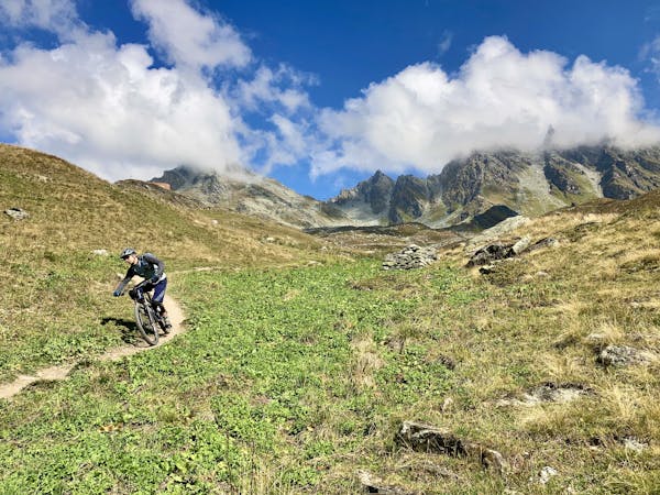
If you're new to trail riding and want to dip your toes into big mountain descents on classic singletrack, then this approachable ride is for you!

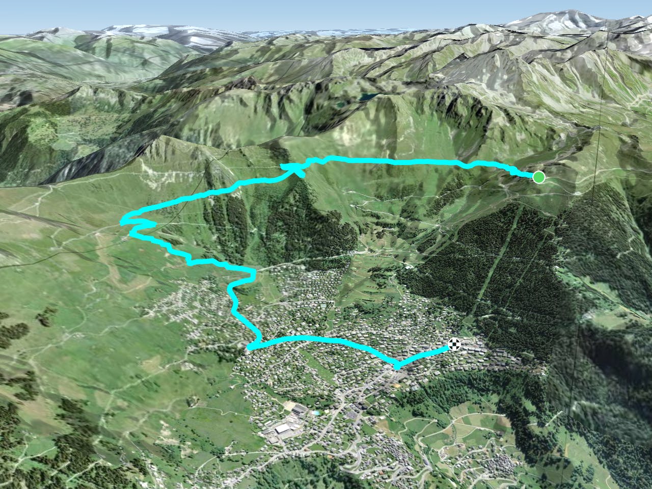
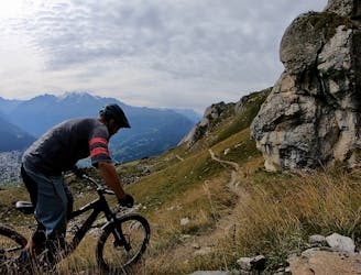
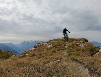
To reach Ba Combe, marked as trail #8 on the map, pedal across the mountain from the top of Les Ruinettes to reach the top of the singletrack.
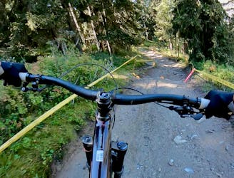
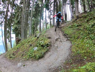
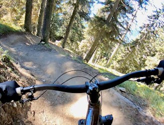
You'll drop into a smooth trail that is largely non-technical but is deceptively fast! The smooth singletrack is wide-open, with long, straight sightlines down a moderate grade. This straight, smooth singletrack allows you to accelerate to mach chicken in a real hurry! Watch for the one switchback that alters the trail direction and the few awkward spots with water drains.
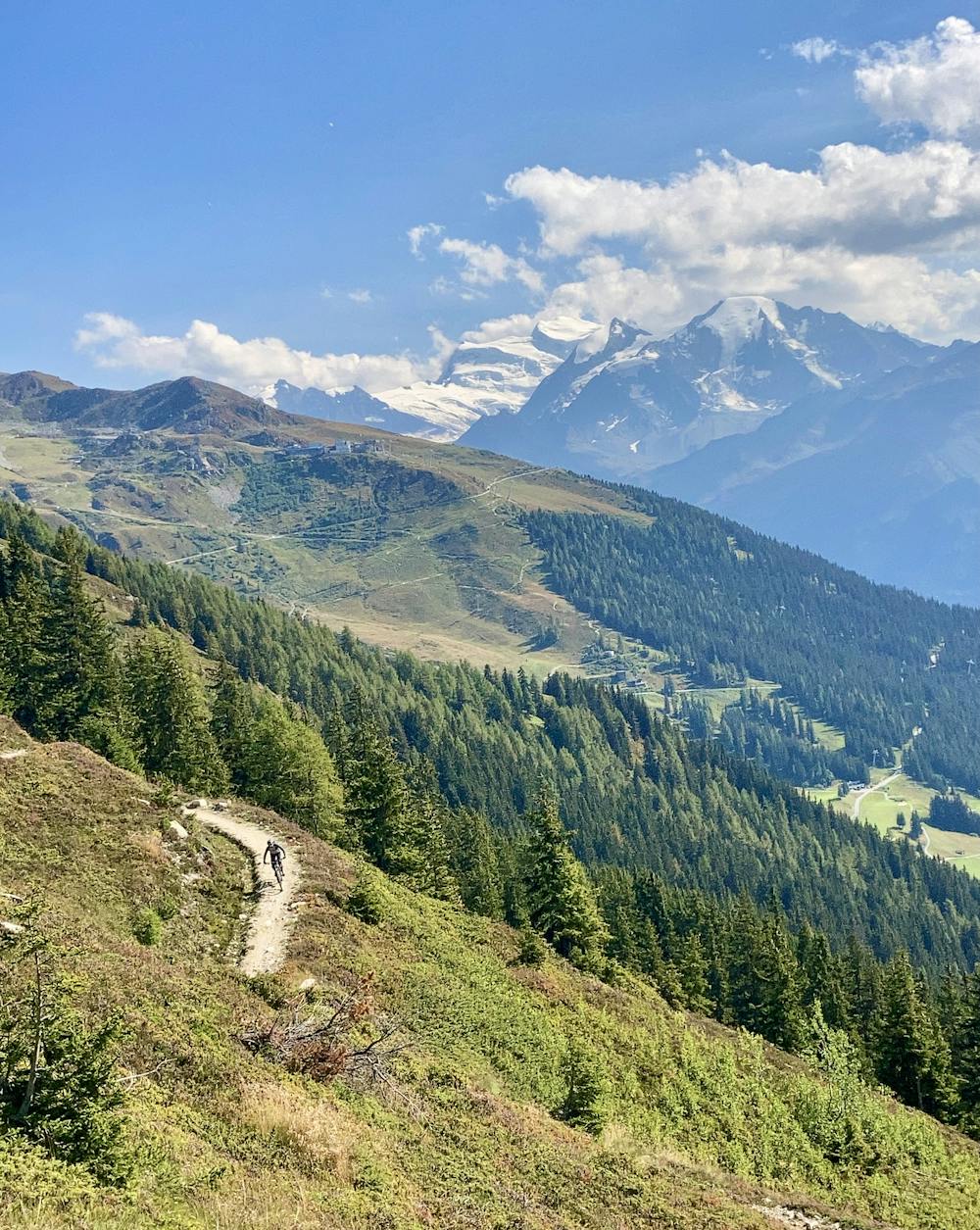
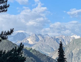
With speeds this fast you must keep your eyes on the trail, but it can be difficult to focus on the singletrack when the views are this good! This trail offers fantastic vistas of the Grand Combin all the way down.
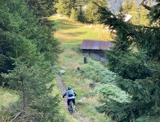
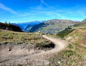
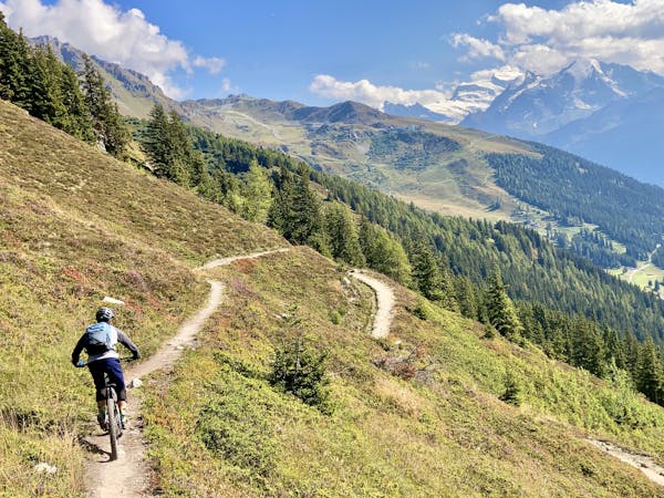
Once off of Ba Combe, for the easiest way down, follow the roads back to Verbier. That can be a bit boring, though, so head over to the hut around mid-mountain and then drop the trail tracing its way straight down from the hut. Reference this map to find the exact turns.
This section of trail is steeper and rockier than what came before, but with a bit of care, intermediate riders should be able to negotiate this trail. The singletrack is sweet, with beautiful views of the valley if you can tear your eyes off the tight, twisty turns. The trail connects houses in mid-mountain with houses lower down, so be sure to decelerate and take it slow when passing between houses.
Eventually, you'll reach the road, and unfortunately, you'll have to lose the last elevation on the road regardless. But you can always just rip back down to the lift, hop on, and do it all over again!
Once you've conquered Ba Combe / #8, try trail #13 next which begins at Croix de Coeur.
Moderate
Mostly stable trail tread with some variability, with unavoidable obstacles 8in/20cm tall or less. Other obstacles such as rock gullies and steep sections may exist. Ideal for lower intermediate riders.

The trail contains some obstacles such as outcroppings and rock which could cause injury.
Away from help but easily accessed.
2,000 metres of extremely technical downhill riding that has been used for European and Swiss Cup downhill races!
Extreme Mountain Biking
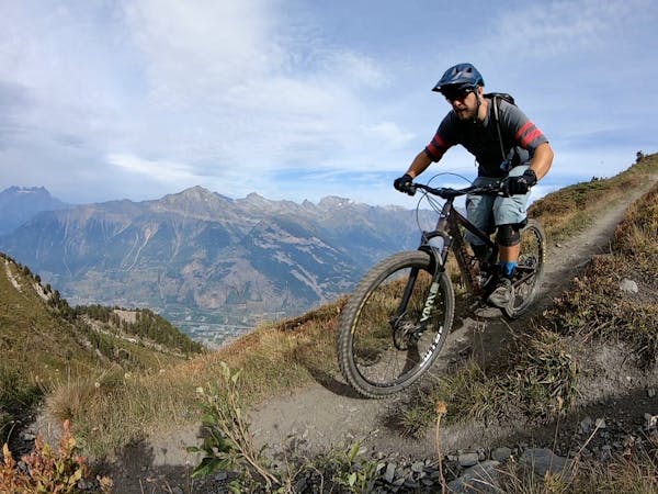
A fast, wide-open romp down from the hut at Croix de Coeur.
Moderate Mountain Biking
1 m away
The best top-to-bottom run combination with Tsopu.
Difficult Mountain Biking
1 m away
Dip your toes into Verbier's enduro riding scene.
Severe Mountain Biking
1 m away
One of the most renowned enduro rides in Verbier.
Extreme Mountain Biking
2 m away
Getting from Verbier to La Tzoumaz Flow Trail and back
Moderate Mountain Biking
3 m away
A mythical descent that should strike fear or excitement into any rider. Very long, very steep, very technical and very exposed. Not for the faint hearted or those with a fear of heights.
Severe Mountain Biking
7 m away
Wouaiy (like the sound you make when you ride this trail) is the most complete 'Bike Park' trail that has a extremely natural feeling to it.
Severe Mountain Biking
7 m away
An epic point-to-point route from the Verbier bike park to Martigny.
Severe Mountain Biking
388 m away
This blue run is fun, flowing, and the easiest marked trail in the resort.
Moderate Mountain Biking

25 routes · Mountain Biking
8 routes · Mountain Biking
7 routes · Mountain Biking
4 routes · Mountain Biking
10 routes · Mountain Biking