382 m away
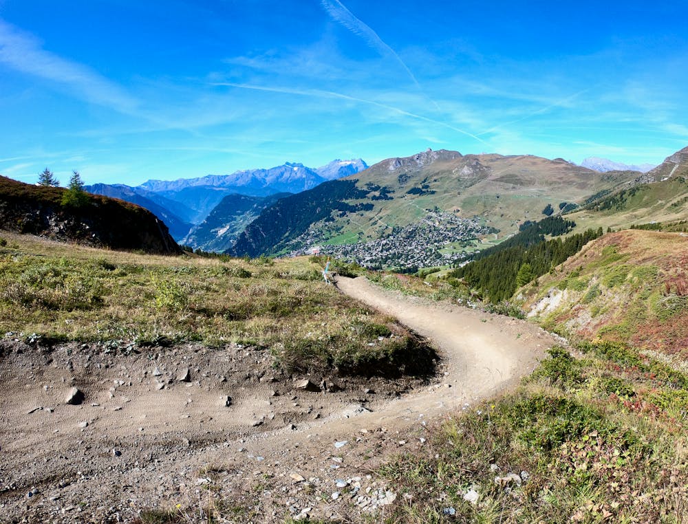
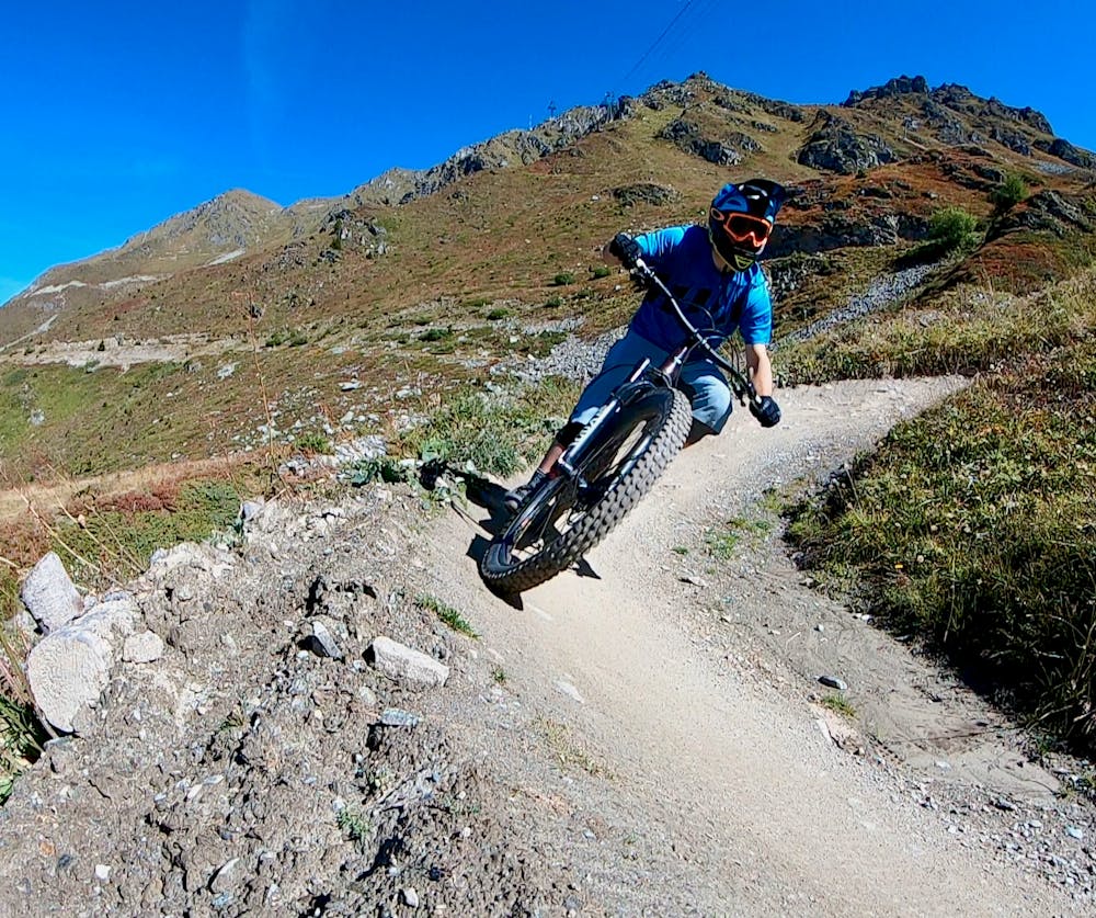
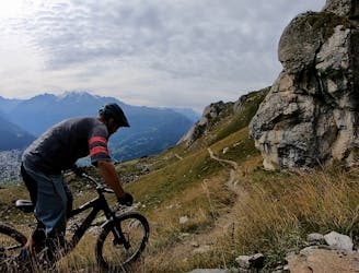
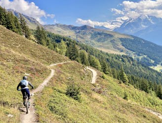
The Ultimate: Verbier -> Martigny
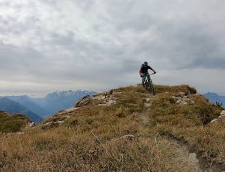
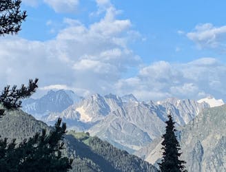
An epic point-to-point route from the Verbier bike park to Martigny.
Severe Mountain Biking
- Distance
- 25 km
- Ascent
- 457 m
- Descent
- 2.2 km
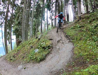
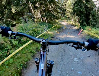
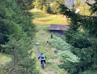
This blue run is fun, flowing, and the easiest marked trail in the resort.
Mountain Biking Moderate

After taking the lift to Les Ruinettes (2200m), the start of the track is signed to the left down a rocky track under the next lift. Along the mountain road, after 30 seconds or so, you will see the starting gate of Tsopu on your left.
Entering the trail as a beginner can be daunting as you turn right, left, right on high banked turns before hitting your first jump. The landing of the tabletop jump sends you straight into another section of bermed turns followed by more bermed turns. As you wind down the track, crossing what is the black piste during the winter, there are more gravel corners before you hit the first wooden wallride. The track splits marginally, giving you the option of a wood jump over a small gap or a smoother line that you can manual through at pace. Crossing the piste once again leads you to a speed bump followed by another tabletop jump. A few more turns, and you can take a well-deserved break with your pals at a fire road crossing.
The second section of the Blue is faster than the first. Jump after jump, double after double, send you down the track at speed. Corners tighten up before the red track joins from the left. Continuing down, you need to knock off a bit of speed so you don't overshoot the doubles up ahead. After landing the final double, the track bends left over a wooden ‘North-Shore’ section. The trail nearly hits the mountain stream before turning left and winding its way parallel. A few more corners through a deep channel keep you focused. Look back up the track from the next fire road as your mates are getting loose on this twisty section.
The last section is a montage of all the jumps up until now. Follow the track down for the never-ending jumps section. The jumps are packed in tight, so be careful not to go too fast and overshoot into the ones that follow. The Blue ends at the golf course, where you can follow the track all the way back down to the lift.
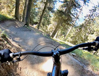
Moderate
Mostly stable trail tread with some variability, with unavoidable obstacles 8in/20cm tall or less. Other obstacles such as rock gullies and steep sections may exist. Ideal for lower intermediate riders.

The trail contains some obstacles such as outcroppings and rock which could cause injury.

Close to help in case of emergency.
382 m away
An epic point-to-point route from the Verbier bike park to Martigny.
Severe Mountain Biking
386 m away
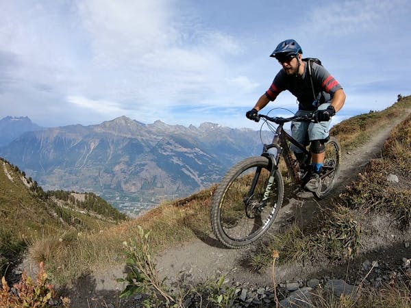
A mythical descent that should strike fear or excitement into any rider. Very long, very steep, very technical and very exposed. Not for the faint hearted or those with a fear of heights.
Severe Mountain Biking
386 m away
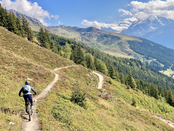
Getting from Verbier to La Tzoumaz Flow Trail and back
Moderate Mountain Biking
388 m away
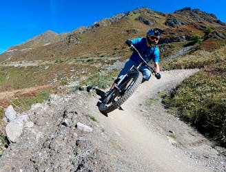
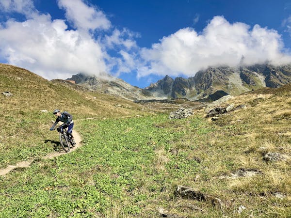
One of the most renowned enduro rides in Verbier.
Extreme Mountain Biking
388 m away
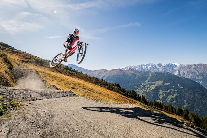
2,000 metres of extremely technical downhill riding that has been used for European and Swiss Cup downhill races!
Extreme Mountain Biking
388 m away
A fast, wide-open romp down from the hut at Croix de Coeur.
Moderate Mountain Biking
388 m away
A smooth rip down the mountainside.
Moderate Mountain Biking
389 m away
Dip your toes into Verbier's enduro riding scene.
Severe Mountain Biking
389 m away
The best top-to-bottom run combination with Tsopu.
Difficult Mountain Biking
395 m away
Wouaiy (like the sound you make when you ride this trail) is the most complete 'Bike Park' trail that has a extremely natural feeling to it.
Severe Mountain Biking

25 routes · Mountain Biking
8 routes · Mountain Biking
7 routes · Mountain Biking
4 routes · Mountain Biking
10 routes · Mountain Biking