Uetliberg's single trails
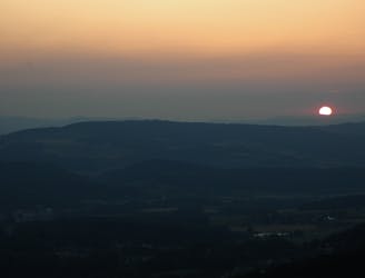
Nine times out of ten, above the soup!
Moderate Trail Running
- Distance
- 17 km
- Ascent
- 689 m
- Descent
- 691 m
Explore Zürich with curated guides of the best hiking trails, and more. With over 13 3D trail maps in FATMAP, you can easily discover and navigate the best trails in Zürich.
No matter what your next adventure has in store, you can find a guide on FATMAP to help you plan your next epic trip.
Get a top trail recommendation in Zürich from one of our 2 guidebooks, or get inspired by the 13 local adventures uploaded by the FATMAP community. Start exploring now!
Nine times out of ten, above the soup!
Moderate Trail Running
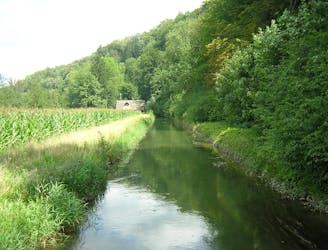
This trail is following the river Sihl, going upstream on the left and turning back on the other side of the river.
Moderate Trail Running

200m high quality single trail descent for a
Moderate Mountain Biking

An easy hike through historical villages and charming Swiss countryside.
Easy Hiking
A lovely hike through shady woodlands.
Easy Hiking

The final stage of the Lake Zurich trail takes you from rolling countryside to bright city lights!
Easy Hiking

A countryside stroll just outside of Zurich.
Easy Hiking

Explore the foothills of the Pfannenstiel complete with vineyards and forests.
Easy Hiking

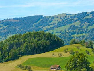
An easy hike through rolling hills.
Easy Hiking
Also known as the "King's Stage" of the Zürichsee-Weg
Easy Hiking

Follow the lakeside for the whole of stage 3 of the Zürichsee-Weg.
Easy Hiking
An easy and pleasurable hike that fully immerses you in nature.
Easy Hiking
The start of the epic 10 stage hike around Lake Zurich.
Easy Hiking