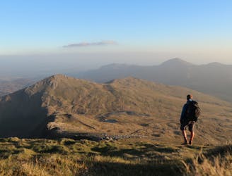
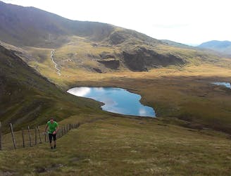
Yr Aran

One of Snowdon’s much quieter and less-visited neighbours
Moderate Hiking
- Distance
- 10 km
- Ascent
- 565 m
- Descent
- 565 m
Explore Gwynedd with curated guides of the best hiking trails, trail running routes, and more. With over 44 3D trail maps in FATMAP, you can easily discover and navigate the best trails in Gwynedd.
No matter what your next adventure has in store, you can find a guide on FATMAP to help you plan your next epic trip.
Get a top trail recommendation in Gwynedd from one of our 2 guidebooks, or get inspired by the 44 local adventures uploaded by the FATMAP community. Start exploring now!
One of Snowdon’s much quieter and less-visited neighbours
Moderate Hiking
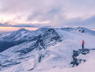
A mega mountain day with great views
Moderate Hiking
The iconic hill route in Snowdonia taking in all 3000ft peaks in one epic route
Difficult Hiking
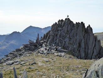
Climb the 15 peaks over 3000ft in Snowdonia
Difficult Hiking

Idwal Slabs - Cnifion Arete - Dolmen Ridge - Bristley Ridge
Difficult Alpine Climbing

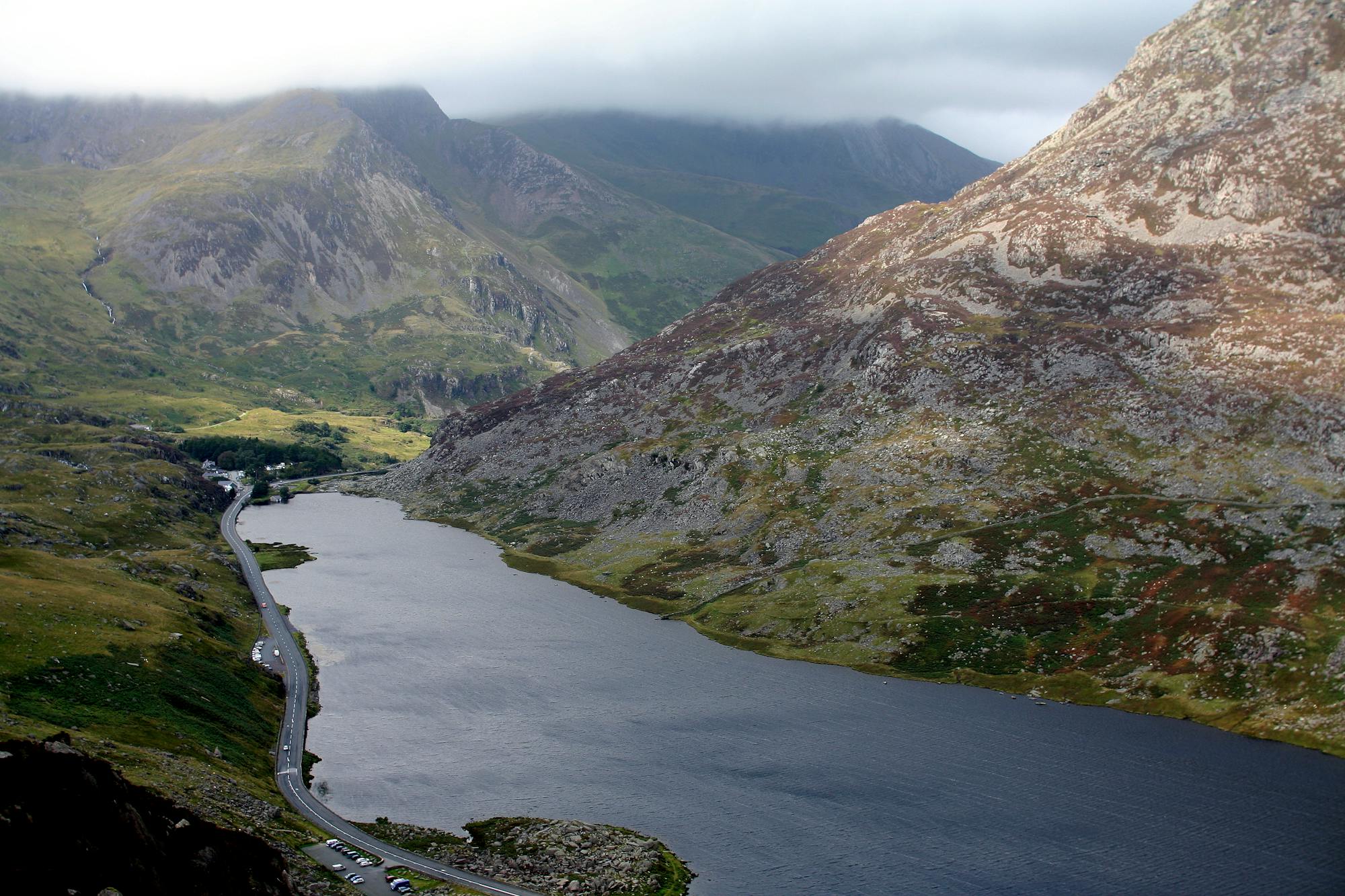
route taking the summits and high ground that surround the Nant Ffancon.
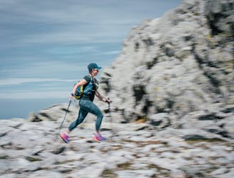
Moderate Trail Running
Mountainous loop around some of the Carneddau peaks that surround Bethesda.
Moderate Trail Running
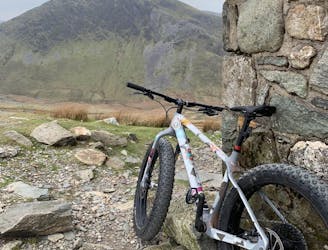
Steady going up and FAST coming down!
Difficult Mountain Biking
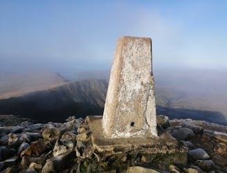
Hike the Highest Peak in Wales
Moderate Hiking
A 50 MILE/80KM Ultra Marathon, with a total height gain of 3000m, along coast, trail, mountain, river and forest in south Snowdonia taking in a total of 20 peaks including the whole of the iconic ridge-line & summit of Cadair Idris. This is a challenging, stunning route, and is at times remote. Search "Dyfi Ultra" to sign up for the event.
Severe Trail Running
Snowdon leg of the Paddy Buckley Round
Difficult Trail Running
An easy hike with epic views of Snowdonia
Easy Hiking