Cwm Silyn via Llyn Cwm Silyn
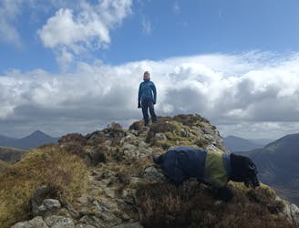
Great loop through dramatic terrain
Moderate Hiking
- Distance
- 8.7 km
- Ascent
- 499 m
- Descent
- 501 m
Explore Gwynedd with curated guides of the best hiking trails, trail running routes, and more. With over 44 3D trail maps in FATMAP, you can easily discover and navigate the best trails in Gwynedd.
No matter what your next adventure has in store, you can find a guide on FATMAP to help you plan your next epic trip.
Get a top trail recommendation in Gwynedd from one of our 2 guidebooks, or get inspired by the 44 local adventures uploaded by the FATMAP community. Start exploring now!
Great loop through dramatic terrain
Moderate Hiking

Trail running Event
Severe Trail Running

Hike and scramble to the top
Difficult Hiking

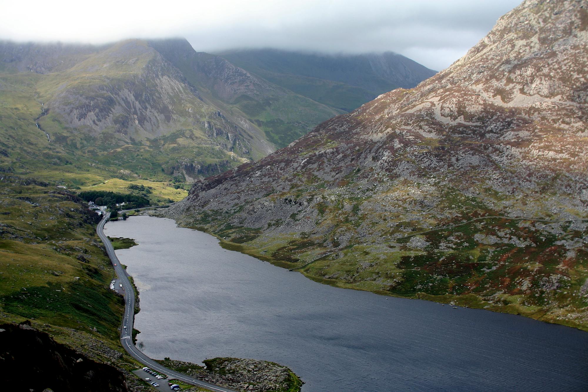
Explore Cwm Idwal's ice-sculpted beauty and dramatic mountainous scenery, rich in geological and scientific history
Easy Hiking

Llyn Idwal Circular hike, dog friendly, not technical - decent in most weathers
Moderate Hiking

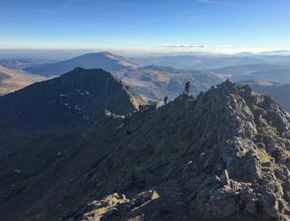
All 15 of the mountains over 3000 ft in Wales
Extreme Hiking

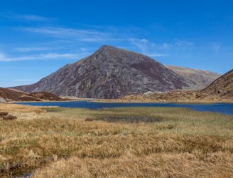
Quieter ascent route than common routes but requires better map skills as no obvious path!
Severe Hiking

do welsh 3000s twice
Extreme Trail Running

Aber Falls - Afon Rhaiad Fawr - Llwytmor - Foel Fras - Drum - Carnedd Y Ddelw - Drosgl - Foel Ganol - Aber Falls
Difficult Hiking

YHA Idwal - Y Garn - Elidir Fawr - Mynydd Perfedd - Carnedd Y Filiast - Lon Las Ogwen - YHA Idwal
Difficult Hiking

Croesor - Cnicht - Cnicht North Top - Quarry - Moelwyn Mawr - Croesor
Moderate Hiking
The UK's toughest 24-hour mountain challenge - 15 peaks | 46km | 4000m ascent
Severe Hiking

An out and back run to one of the highest lakes in Wales
Moderate Trail Running

From Dolgellau, up the Pony Path, down to the Slate Bridge and back up Minfordd to Mynydd Moel
Difficult Trail Running

Scramble up Idwal Buttress into Cwm Cnefion then up Tower Rib to the Glyderau plateau
Moderate Alpine Climbing
Spectacular views guaranteed from the southernmost peak in the Carneddau range
Moderate Hiking