Bonanza Mine Trail
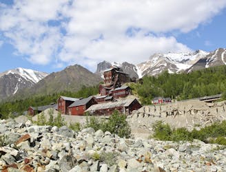
Climb to a historic mine located thousands of vertical feet above the town of Kennecott.
Difficult Hiking
- Distance
- 13 km
- Ascent
- 1.2 km
- Descent
- 1.2 km
Go hiking in Alaska with curated guides of the best hikes across the region. With over 120 3D trail maps in FATMAP, you can easily discover and navigate the best trails in Alaska.
No matter what your next adventure has in store, you can find a guide on FATMAP to help you plan your next epic trip.
Get a top hiking trail recommendation in Alaska from one of our 20 guidebooks, or get inspired by the 120 local adventures uploaded by the FATMAP community. Start exploring now!
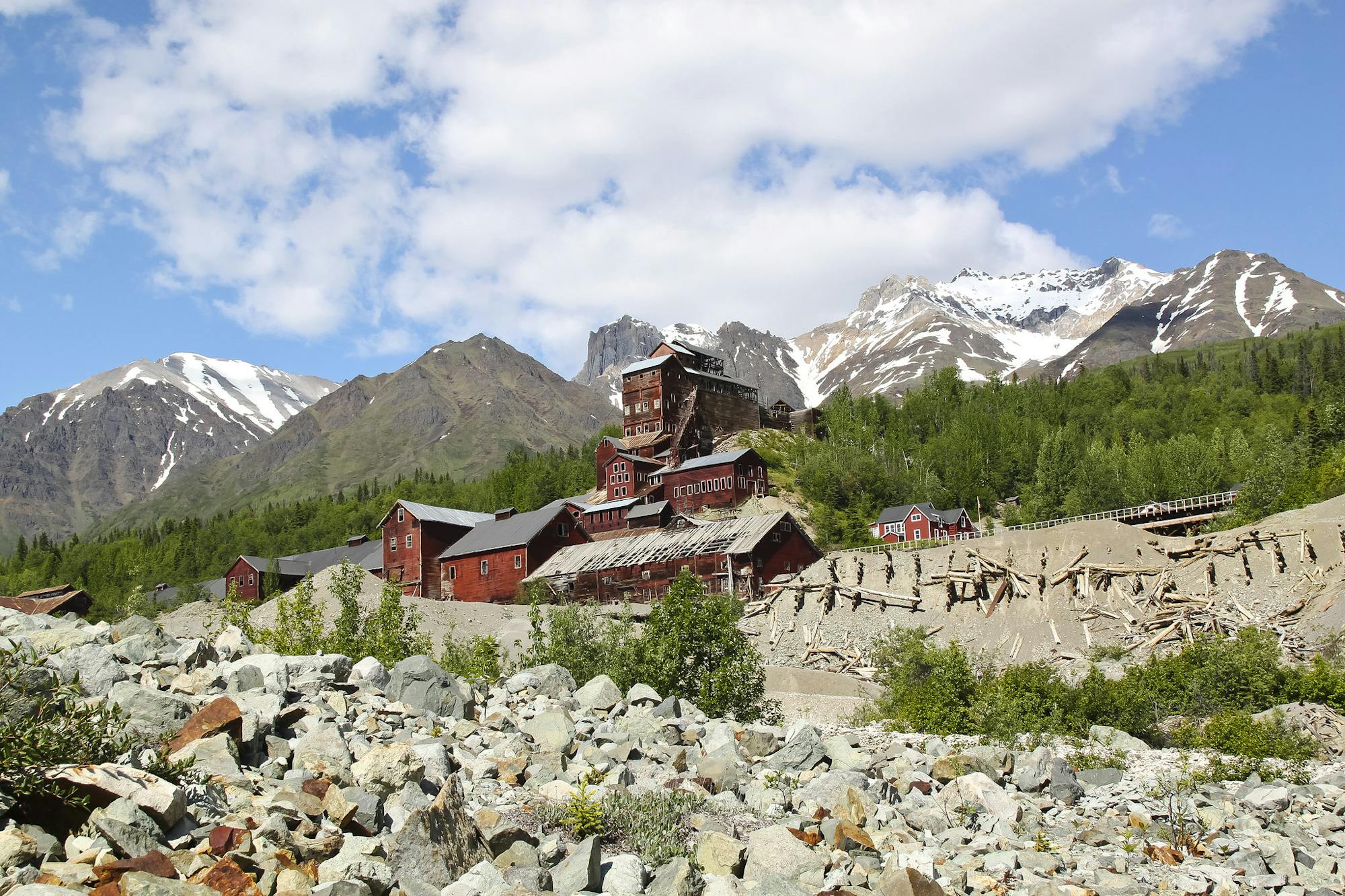
Climb to a historic mine located thousands of vertical feet above the town of Kennecott.
Difficult Hiking
Hike through lush spruce-hemlock forests bound for the mouth of Bartlett River.
Moderate Hiking
A partially-accessible hike in Bartlett Cove with two spectacular overlooks of a small pond.
Moderate Hiking

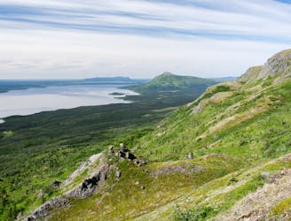
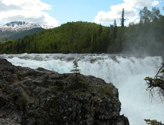
Hike into the Valley of Ten Thousand Smokes, to see the volcanic devastation up close and to stare into a churning river canyon.
Moderate Hiking
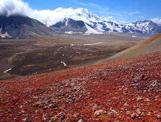
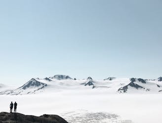
Journey across a lunar landscape––a valley buried by the largest eruption of the 20th century––to find the still-smoldering crater of the volcano.
Difficult Hiking
A mountain hike beginning in Brooks Camp campground, reaching views of the whole valley and the option to continue to the summit.
Difficult Hiking
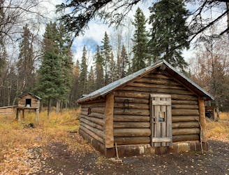
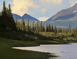
Enjoy a long day hike through remote backcountry, then unwind next to a wood stove in a rustic cabin on Lake Clark.
Moderate Hiking
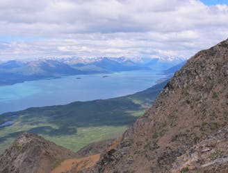
A rigorous climb up Tanalian Mountain with spectacular 360-degree views reaching for miles in every direction.
Difficult Hiking
A classic Lake Clark day hike to a breathtaking waterfall crashing 30' over hardened lava rock.
Moderate Hiking
This is the hike to do in Kenai Fjords National Park, ascending alongside a glacier to a mind-blowing view over the vast icefield above.
Difficult Hiking
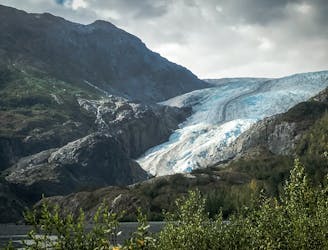
Kenai Fjords’ most accessible hike, leading to the foot of Exit Glacier and along its rocky outwash plain.
Moderate Hiking

Highest peak in the Baird Mountains of the Brooks Range.
Severe Hiking
A historical point of interest along the Kobuk River, and a great place to look for caribou in autumn.
Easy Hiking
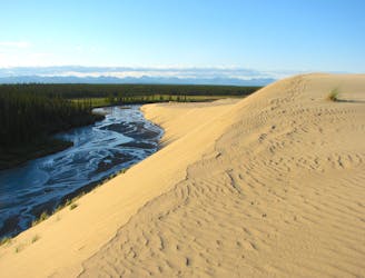
Land by plane and walk across the largest dune field in the Arctic.
Moderate Hiking
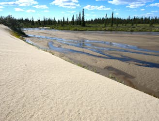
If floating the Kobuk River, you can take out and hike cross-country to the Great Kobuk Sand Dunes.
Moderate Hiking
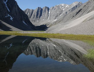
A treasure trove of scenery in the central Brooks Range, obscure in name but familiar in photos from Gates of the Arctic National Park.
Difficult Hiking