Ferndell Trail to the Mount Hollywood Summit
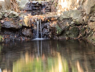
A beautiful but non-technical hike to the summit of Mount Hollywood.
Easy Hiking
- Distance
- 8.5 km
- Ascent
- 340 m
- Descent
- 340 m
Explore California with curated guides of the best hiking trails, mountain bike trails, trail running routes, ski routes, and more. With over 1098 3D trail maps in FATMAP, you can easily discover and navigate the best trails in California.
No matter what your next adventure has in store, you can find a guide on FATMAP to help you plan your next epic trip.
Get a top trail recommendation in California from one of our 79 guidebooks, or get inspired by the 1098 local adventures uploaded by the FATMAP community. Start exploring now!
A beautiful but non-technical hike to the summit of Mount Hollywood.
Easy Hiking

A rare coastal wilderness route along the most isolated section of the California coastline.
Difficult Trail Running

"One of the few coastal wilderness hiking experiences in the United States."
Difficult Hiking

This is a good out and back singletrack trail if you ride up to the cross viewpoint and back.
Severe Mountain Biking

Tough single track climb that opens up to many trails up high
Severe Mountain Biking

Palm Canyon is an epic high California desert ride that provides great desert views, narrow single track, significant exposure that should only be attempted by experienced riders.
Severe Mountain Biking
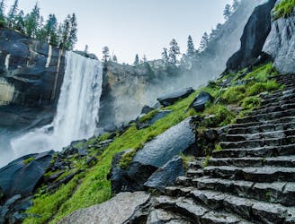
A stunning hike up steep climbs, passing close to Vernal and Nevada Falls.
Difficult Hiking

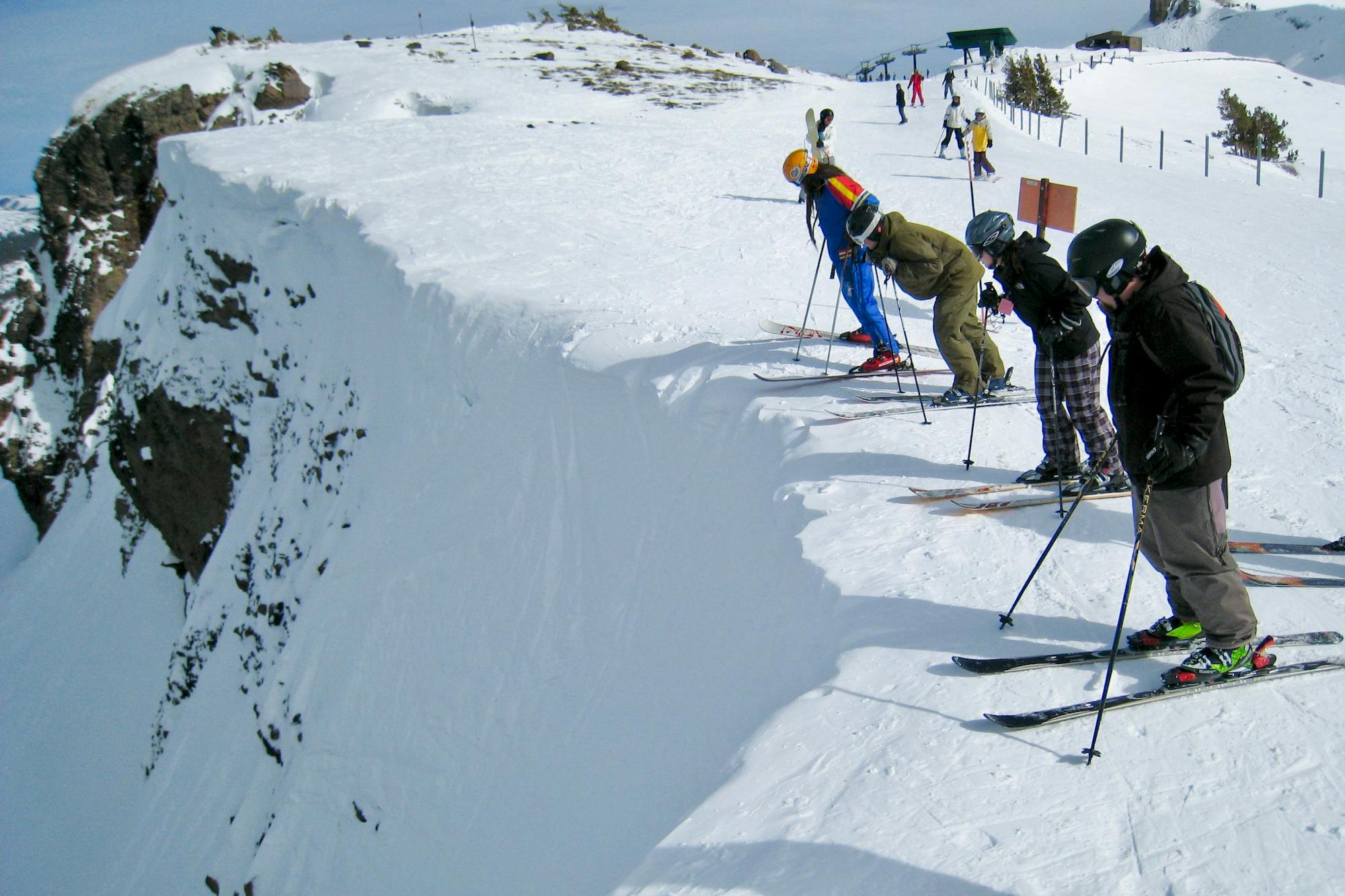
Inbounds uphill route at Sugar Bowl, reaching the top of Mt. Disney.
Moderate Resort Ski Touring

Inbounds uphill route at Sugar Bowl, reaching the top of Mt. Lincoln.
Moderate Resort Ski Touring

Inbounds uphill route at Sugar Bowl, reaching the top of Mt. Judah and a backcountry access gate.
Difficult Resort Ski Touring
Miles 1655.9-1718.9 of the northbound PCT: The final big climb from a Northern California valley, then along a panoramic ridge to cross into Oregon.
Difficult Hiking
Miles 1599.7-1655.9 of the northbound PCT: Through the stunningly colorful landscape of the Marble Mountains Wilderness.
Difficult Hiking
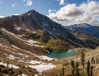
Miles 1560.2-1599.7 of the northbound PCT: Through the rugged expanse of two wilderness areas, each studded with granite peaks and sparkling lakes.
Moderate Hiking
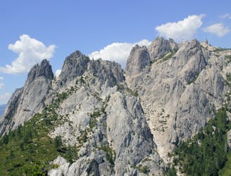
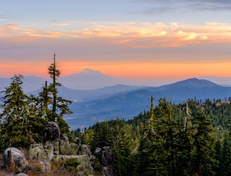
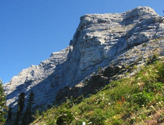
Miles 1501.2-1560.2 of the northbound PCT: A stunning hike beneath granite spires of the Castle Crags, then along miles of panoramic ridge within view of Mount Shasta.
Moderate Hiking
Rolling ridges and deep forest between the McCloud and Sacramento Rivers in Shasta-Trinity National Forest.
Moderate Hiking
Enjoy frequent views from an undulating ridge, with lush valleys below and the white cap of Mount of Shasta on the horizon.
Moderate Hiking