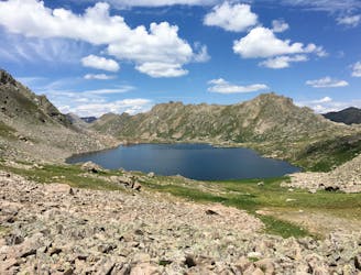
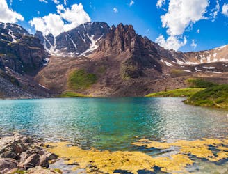
Grizzly Lake

A moderate classic.
Moderate Hiking
- Distance
- 11 km
- Ascent
- 596 m
- Descent
- 596 m
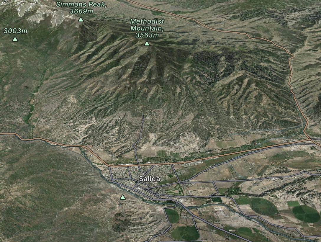
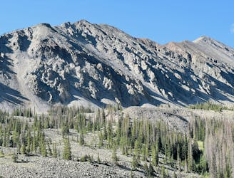
Salida
Go hiking in Salida with curated guides of the best hikes across the region. With over 551 3D trail maps in FATMAP, you can easily discover and navigate the best trails in Salida.
No matter what your next adventure has in store, you can find a guide on FATMAP to help you plan your next epic trip.
Get a top hiking trail recommendation in Salida from one of our 75 guidebooks, or get inspired by the 551 local adventures uploaded by the FATMAP community. Start exploring now!
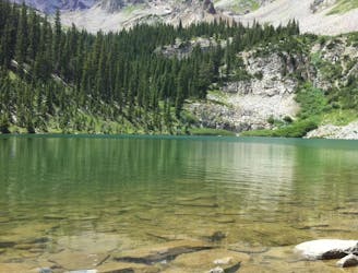
A moderate classic.
Moderate Hiking
Explore the best of Indy Pass
Difficult Hiking
One of the quintessential Aspen hikes.
Moderate Hiking
A moderate hike to a beautiful alpine lake.
Moderate Hiking

One of the closest peaks to Canon City.
Difficult Hiking
Baldwin gulch road (277) to the Baldwin lakes
Moderate Hiking

Humboldt Peak via West Ridge - Summer Route
Difficult Hiking

Inredible views of the Crestone Needle - especially at sunrise! This peak is a fun class 2 / 3 scramble in the heart of the Sangre de Cristos - departing from the busy 14ers.
Difficult Hiking

From South Colony Lakes TH. Class 3. 5,900/14.5mi from Upper TH, 7,050/20mi from Lower TH
Severe Hiking

Class 5 from Crestone Peak.
Extreme Hiking

From South Colony Lakes TH. 4,200'/11mi from Upper TH, 5,350'/16.50mi from Lower TH
Difficult Hiking

From South Colony Lakes TH. Class 3 or 4. 4,400'/12mi from Upper TH, 5,550'/18mi from Lower TH.
Severe Hiking

from South Colony Lakes. Class 3. 5,700'/14mi (Upper TH) or 6,850'/20mi (Lower TH)
Severe Hiking