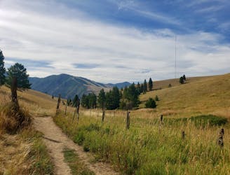
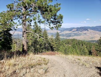
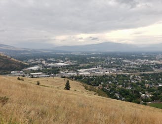
High, Wide and Handsome Hike
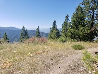
A beautiful hike which provides huge views across Missoula and the Bitterroot Valley
Difficult Hiking
- Distance
- 18 km
- Ascent
- 660 m
- Descent
- 660 m
Explore Montana with curated guides of the best hiking trails, mountain bike trails, trail running routes, ski routes, and more. With over 502 3D trail maps in FATMAP, you can easily discover and navigate the best trails in Montana.
No matter what your next adventure has in store, you can find a guide on FATMAP to help you plan your next epic trip.
Get a top trail recommendation in Montana from one of our 28 guidebooks, or get inspired by the 502 local adventures uploaded by the FATMAP community. Start exploring now!
A beautiful hike which provides huge views across Missoula and the Bitterroot Valley
Difficult Hiking
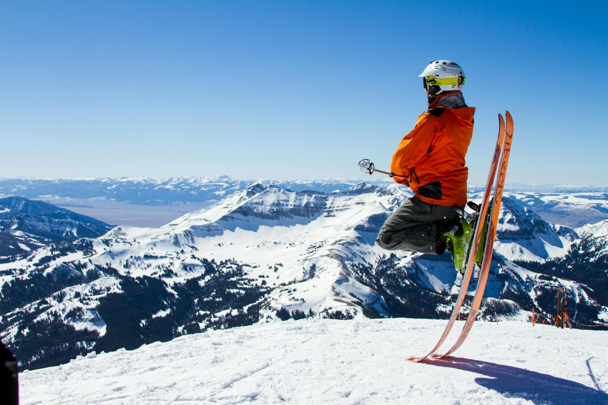
The newest distance for The Rut, added in 2023.
Difficult Trail Running
Get a stress-free fix of nature on the edge of Missoula
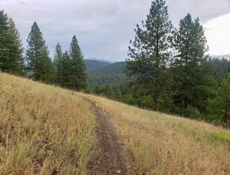
Easy Hiking
Escape the city and enjoy some huge views
Moderate Hiking
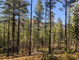
An easy and short cruise through quiet forests
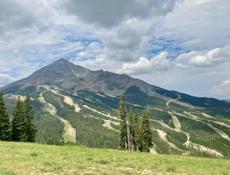
Moderate Mountain Biking
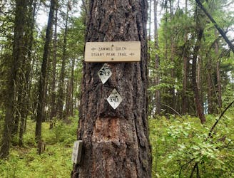
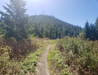
Experience the epic Rattlesnake Wilderness Area and climb one of its most prominent peaks
Difficult Hiking
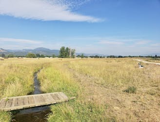
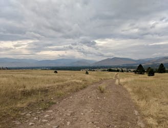
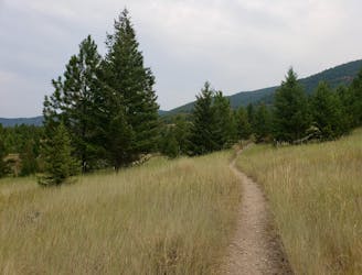
Enjoy some famous Montana "big sky" on this easy, scenic hike
Easy Hiking
A long climb leads to a fast and furious descent!
Difficult Mountain Biking
An exceptional ride in a beautiful wilderness area
Moderate Mountain Biking
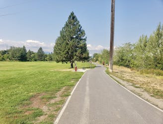
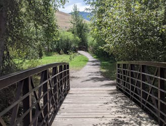
Explore the sights of downtown Missoula on this easy stroll
Easy Hiking
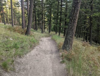
Explore the maze of great trails at Blue Mountain
Moderate Hiking

Hike a prominent summit and enjoy some peaceful forests
Difficult Hiking
Short and sharp!
Moderate Hiking
This is a wonderful, moderate ride with views and flow trail aplenty!
Moderate Mountain Biking
A quick fix of nature close to Missoula
Moderate Hiking
Sample some of Missoula's closest trails
Moderate Mountain Biking