Catawba Loop
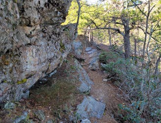
A wild ~35-mile circuit touring three of the Appalachian Trail's most coveted overlooks.
Difficult Trail Running
- Distance
- 54 km
- Ascent
- 2.7 km
- Descent
- 2.7 km
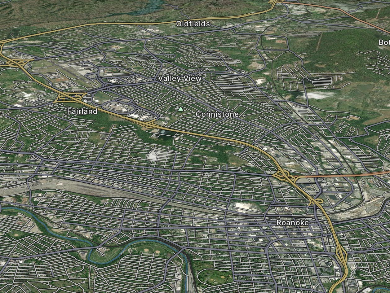
Explore Roanoke with curated guides of the best routes. With over 11 3D trail maps in FATMAP, you can easily discover and navigate the best trails in Roanoke.
No matter what your next adventure has in store, you can find a guide on FATMAP to help you plan your next epic trip.
Get a top trail recommendation in Roanoke from one of our 6 guidebooks, or get inspired by the 11 local adventures uploaded by the FATMAP community. Start exploring now!

A wild ~35-mile circuit touring three of the Appalachian Trail's most coveted overlooks.
Difficult Trail Running

Arguably the most iconic viewpoint on the Appalachian Trail!
Difficult Hiking
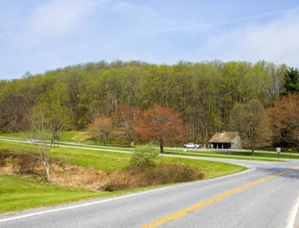
Connecting Roanoke to the NC/VA state line, this region of Blue Ridge Parkway showcases beautiful rural farmlands, Rocky Knob Picnic Area, and historic Mabry Mill.
Difficult Road Biking
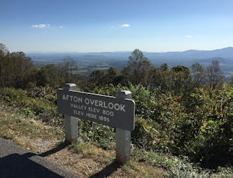
The northernmost segment of the Blue Ridge Parkway including Humpback Rocks, Apple Orchard Falls & Mountain, and plenty of access to the Appalachian Trail.
Difficult Road Biking

Roanoke's favorite in-town singletrack hit.
Moderate Mountain Biking
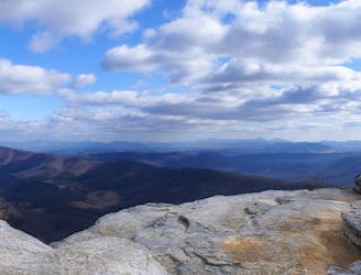
The iconic AT segment home to McAfee Knob and Tinker Cliffs.
Difficult Hiking
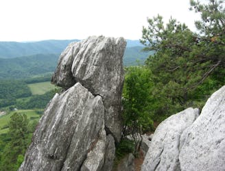
The trek to the iconic Dragon's Tooth formation.
Difficult Hiking

A true black diamond backcountry challenge awaits on the exposed bedrock spine of North Mountain.
Severe Mountain Biking

A popular loop that accesses the upper mountain at Carvin's Cove.
Severe Mountain Biking
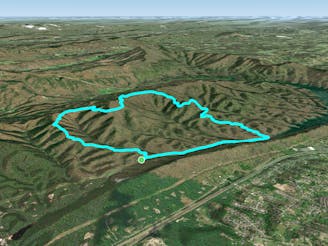
The rowdiest, most technical descent at Carvin's Cove.
Severe Mountain Biking

A superb selection of Carvin Cove's flowiest trails.
Moderate Mountain Biking