The FIS competition track in the village of Ramsau is a challenge for competitors and experts!Achtung - since winter 2017/18 the track has been a little different and shorter!
Severe Cross Country Skiing
- Distance
- 4.8 km
- Ascent
- 239 m
- Descent
- 240 m
Wild and romantic hiking trail on the banks of the river Traun
Easy Hiking
- Distance
- 3.1 km
- Ascent
- 34 m
- Descent
- 33 m
Winter hiking trail from the middle station of the Hornspitzbahn to the Pass Gschütt Straße.
Moderate Hiking
- Distance
- 3.8 km
- Ascent
- 247 m
- Descent
- 46 m
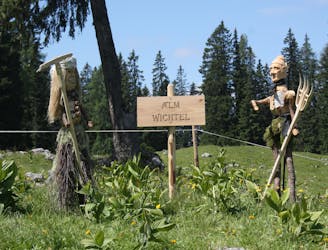
On the tracks of the gnomes in Gosau! ascent with the Gosau slow train to the home of the gnomes - the Plankensteinalm! in the summer months every Friday 9:00 am from the tourist office.
Moderate Hiking
- Distance
- 1.1 km
- Ascent
- 16 m
- Descent
- 16 m
An easy hiking trail for the whole family.
Moderate Hiking
- Distance
- 2.2 km
- Ascent
- 245 m
- Descent
- 19 m
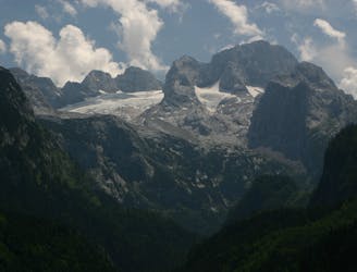
In the first section the path to the Adamekhütte is an easy hike along the Gosauseen, followed by a steeper ascent to the glacier forefield.
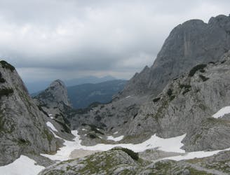
Severe Hiking
- Distance
- 11 km
- Ascent
- 1.3 km
- Descent
- 88 m
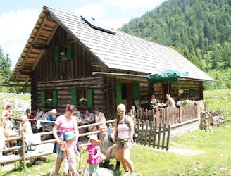
A beautiful hike to the active grinding stone quarry.
Moderate Hiking
- Distance
- 5.6 km
- Ascent
- 682 m
- Descent
- 78 m
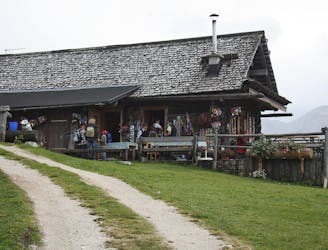
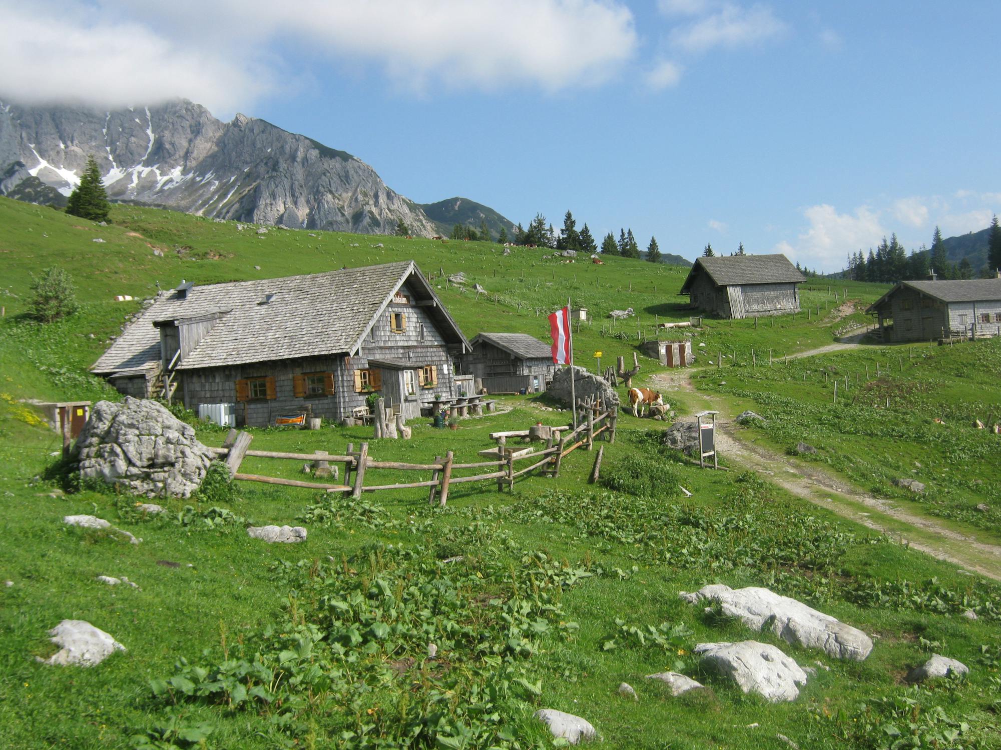
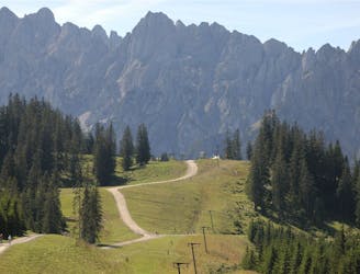
Beautiful hiking trails to the largest contiguous alpine pasture area in the region.
Difficult Hiking
- Distance
- 8.5 km
- Ascent
- 809 m
- Descent
- 8 m
Two-day mountain tour with overnight stay at the Adamekhütte.
Severe Hiking
- Distance
- 14 km
- Ascent
- 2.1 km
- Descent
- 138 m
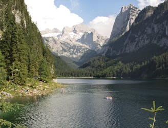
Theme trail around the Vorderen Gosausee
Moderate Hiking
- Distance
- 4.5 km
- Ascent
- 99 m
- Descent
- 99 m
From the Vorderen Gosausee to the Zwieselalmhöhe.
Severe Hiking
- Distance
- 3 km
- Ascent
- 674 m
- Descent
- 0 m
The brine pipeline between Hallstatt and Lauffen is still closed in 2019 due to logging, danger of falling rocks and maintenance work. "Ostuferwanderweg along Lake Hallstatt there is a beautiful alternative to the brine pipeline path. On the oldest pipeline in the world the Salzkammergut brine pipeline path leads from Hallstatt via Bad Goisern and Bad Ischl to Ebensee. The way is actually a factory site of the saltworks in the
Easy Hiking
- Distance
- 21 km
- Ascent
- 344 m
- Descent
- 715 m
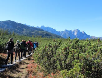
This panoramic hike in the Dachstein West hiking region is perfect for experienced mountaineers. The numerous alpine pastures invite you to linger.
Severe Hiking
- Distance
- 20 km
- Ascent
- 1.5 km
- Descent
- 1.5 km
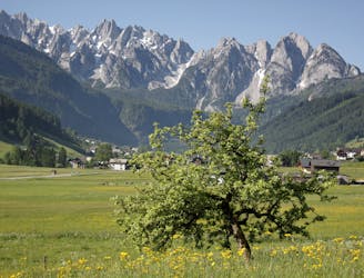
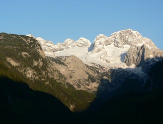
Dolomite magic in the Salzkammergut!
Difficult Hiking
- Distance
- 21 km
- Ascent
- 1.5 km
- Descent
- 1.5 km
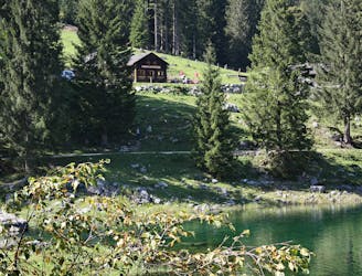
The east shore hiking trail along the Hallstättersee lake in the Dachstein Salzkammergut holiday region is one of the most popular hiking trails in the Salzkammergut. The easy and comfortable hiking trail along the lake attracts especially families and seniors. Like the Lindwurm and the exciting suspension bridge over the deepest part of the lake, there are fun highlights along the way.
Moderate Hiking
- Distance
- 9.8 km
- Ascent
- 141 m
- Descent
- 146 m
A very beautiful, but not completely harmless path, which requires high alpine equipment, a head for heights and good physical condition.
Severe Hiking
- Distance
- 7.8 km
- Ascent
- 384 m
- Descent
- 871 m