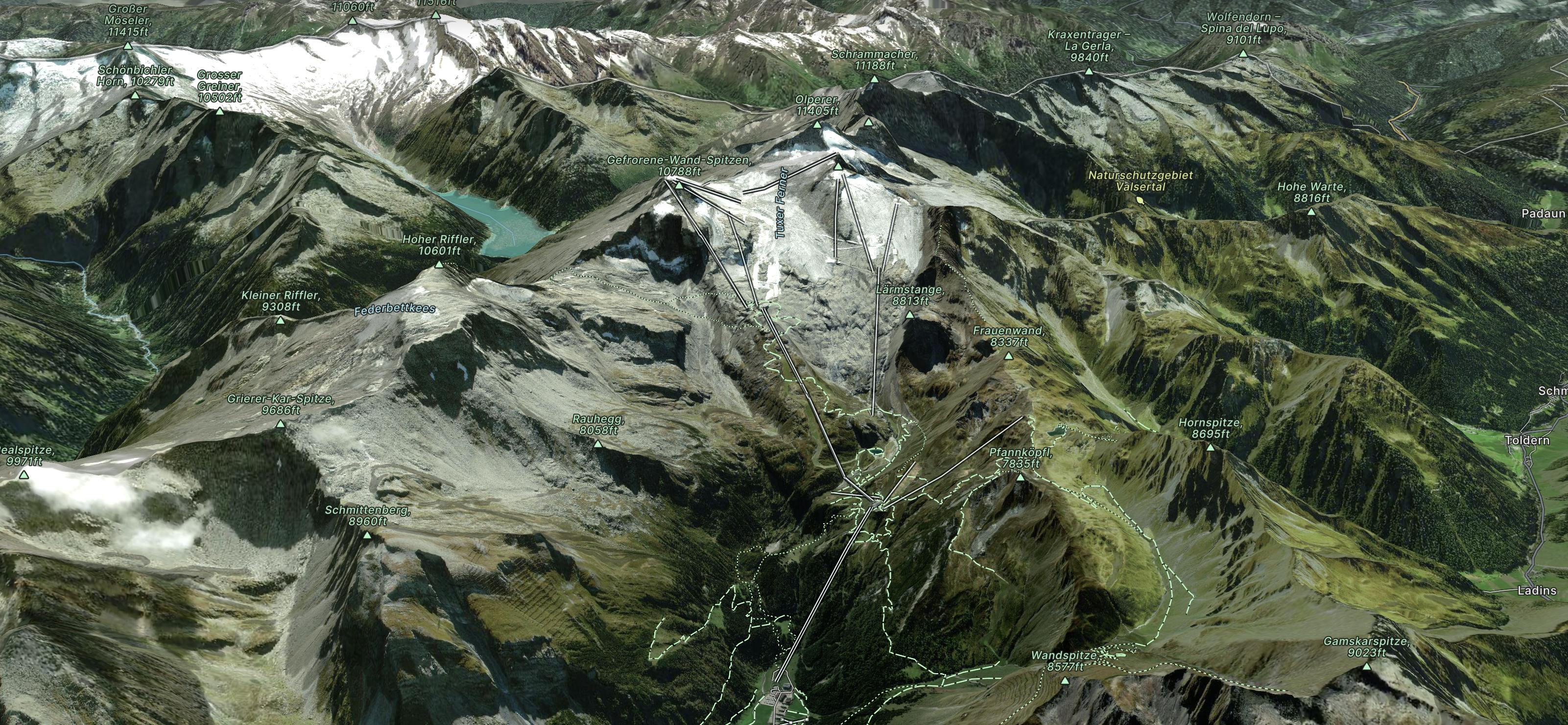
Gefrorene Wand

A short route which is easily accessible.
Difficult Freeride Skiing
- Distance
- 708 m
- Ascent
- 0 m
- Descent
- 219 m

Hintertux Gletscher is part of the Gletscherwelt Zillertal 3000 and is situated on a high altitude glacier.
Explore Hintertux with curated guides of the best ski routes, and more. With over 13 3D trail maps in FATMAP, you can easily discover and navigate the best trails in Hintertux.
No matter what your next adventure has in store, you can find a guide on FATMAP to help you plan your next epic trip.
Get a top trail recommendation in Hintertux from one of our 4 guidebooks, or get inspired by the 13 local adventures uploaded by the FATMAP community. Start exploring now!


A short route which is easily accessible.
Difficult Freeride Skiing

An easily accessible route down to the Schlegeis chairlift
Difficult Freeride Skiing

A sunny line, recommended in Spring
Difficult Freeride Skiing

A sunny, nice ride with a small channel at the end.
Difficult Freeride Skiing

A short but intense line
Difficult Freeride Skiing

A short but impressive route on a wide glacier hill.
Difficult Freeride Skiing

A breathtaking route here in Hintertux, the biggest and longest adventure in these parts.
Severe Freeride Skiing

An easy route with a short hike which is nice on busy days
Difficult Freeride Skiing

A short hike for long and joyful descent
Difficult Freeride Skiing

This route is a classic line here in Hintertux. Easy accessible, there is only a short hike needed.
Difficult Freeride Skiing

One long long climb then a short descent to a bivi hut
Moderate Ski Touring

Classic. Limited ascent, not difficult, but fairly remote.
Difficult Freeride Skiing

One Epic Trip with the New England boys
Extreme Mountain Biking