Water Sprite Lake (winter trail)

Winter access to water sprite lake hut
Difficult Hiking
- Distance
- 10 km
- Ascent
- 1 km
- Descent
- 28 m
Go hiking in British Columbia with curated guides of the best hikes across the region. With over 1015 3D trail maps in FATMAP, you can easily discover and navigate the best trails in British Columbia.
No matter what your next adventure has in store, you can find a guide on FATMAP to help you plan your next epic trip.
Get a top hiking trail recommendation in British Columbia from one of our 99 guidebooks, or get inspired by the 1015 local adventures uploaded by the FATMAP community. Start exploring now!
Winter access to water sprite lake hut
Difficult Hiking

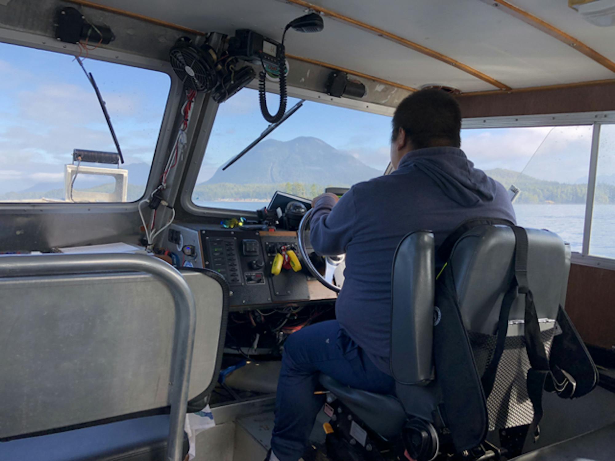
Catch a small boat out of Tofino to get across to Meares Island to hike straight up the steep slope of Lone Cone, just following ribbon-tags on trees for some of the way. (Distance is one way only)
Difficult Hiking
Easy but beautiful day hike
Easy Hiking

Lake O'Hare Alpine Route
Difficult Hiking

Hike Mount Fromme from St Georges
Difficult Hiking
Remote Mountain in the BC Backcountry
Difficult Hiking
A spectacular 75 kilometre journey along the wild west coast of Vancouver Island.
Difficult Hiking

A short, relaxing stroll in the high alpine.
Easy Hiking

A delightful stroll with stunning views
Easy Hiking

A nice wide trail connecting the gondola with the Peak Express Chair.
Easy Hiking

A stunning little loop!
Moderate Hiking

A gravel access road to Half Note Trail.
Easy Hiking

A connecting trail.
Easy Hiking

A connecting road from the top of Whistler Peak.
Easy Hiking

Difficult Hiking