33 m away
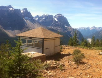
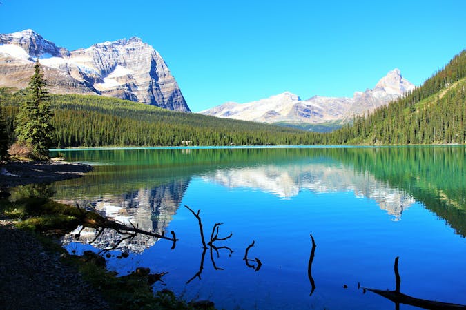
Lake O'Hara Alpine Circuit
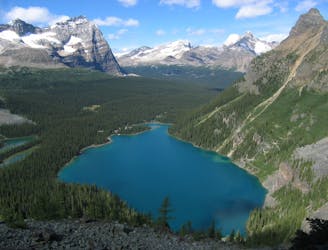
An epic day hike almost entirely above treeline, connecting proud overlooks and smaller lakes above Lake O'Hara.
Severe Hiking
- Distance
- 12 km
- Ascent
- 984 m
- Descent
- 983 m
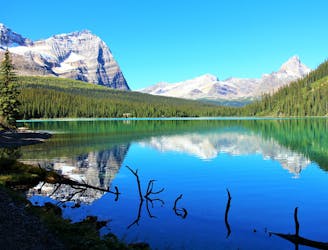
Lake O'Hare Alpine Route
Hiking Difficult

This is a popular hiking route which is generally considered to be difficult. It's remote, it features high exposure and is typically done between May and October. From a low point of 2 km to the maximum altitude of 2.5 km, the route covers 13 km, 992 vertical metres of ascent and 992 vertical metres of descent.
Epic views, gnarly trails
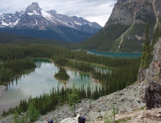
Difficult
Hiking trails where obstacles such as rocks or roots are prevalent. Some obstacles can require care to step over or around. At times, the trail can be worn and eroded. The grade of the trail is generally quite steep, and can often lead to strenuous hiking.

Some trail sections have exposed ledges or steep ascents/descents where falling could cause serious injury.

Away from help but easily accessed.
33 m away
An epic day hike almost entirely above treeline, connecting proud overlooks and smaller lakes above Lake O'Hara.
Severe Hiking
180 m away
Simple loop around the lake, but with extraordinary views.
Easy Hiking
180 m away
The most direct route to the single best viewpoint over Lake O'Hara.
Difficult Hiking
603 m away
One of the more challenging routes at Lake O'Hara with no shortage of amazing views.
Extreme Hiking
9.3 km away
A mountainside view of surrounding peaks and two expansive river valleys.
Difficult Hiking
9.3 km away
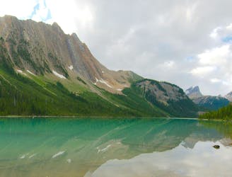
Forest hike to a lake in a valley surrounded by peaks and streaked by avalanche paths.
Moderate Hiking
4 routes · Hiking

4 routes · Hiking
7 routes · Hiking
5 routes · Hiking
4 routes · Hiking