595 m away
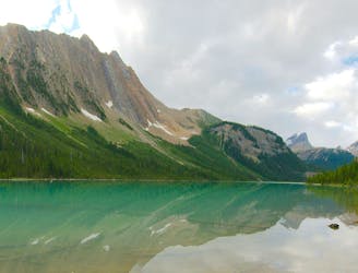
Lake O'Hara Alpine Circuit
An epic day hike almost entirely above treeline, connecting proud overlooks and smaller lakes above Lake O'Hara.
Severe Hiking
- Distance
- 12 km
- Ascent
- 984 m
- Descent
- 983 m
One of the more challenging routes at Lake O'Hara with no shortage of amazing views.
Hiking Extreme
Mount Schaffer is the perfect peak to avoid the crowds that you will find elsewhere at Lake O'Hara.
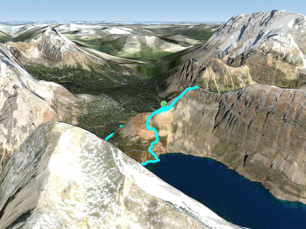
There are two routes to reach the summit, both require scrambling for the final climb to the top. This route takes the more direct route up from Schaffer Lake and descends down the easier route via Lake McArthur.
You can complete this loop in either direction, if you are confident descending on steep loose terrain, you may find it easier to do the route in reverse.
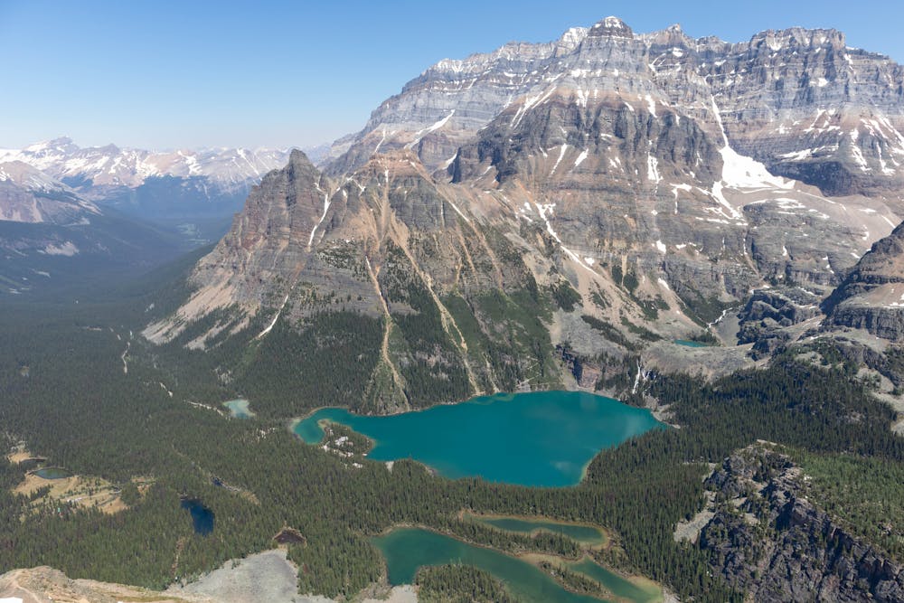
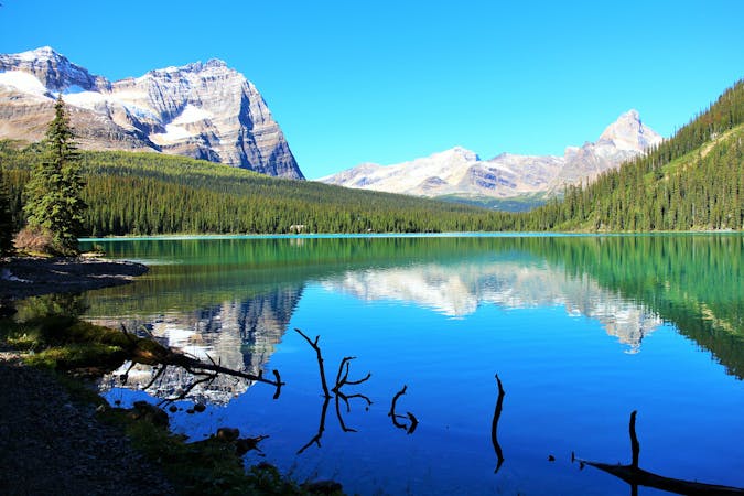
The route starts at the stunning Lake O'Hara. You follow the well maintained trails up to the picturesque Schaffer Lake, before turning off to start the climb up Mount Schaffer.
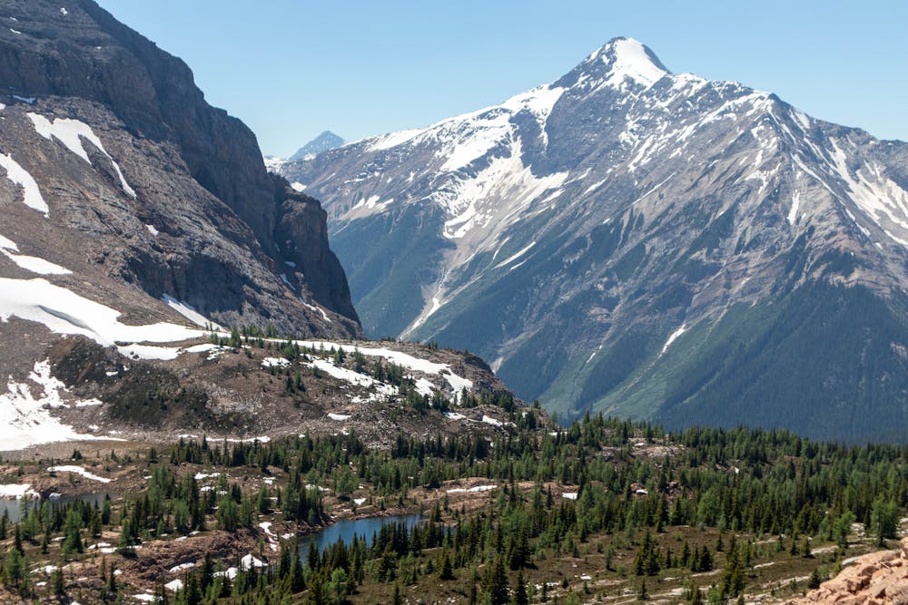
There is no defined trail up the avalanche slope from Schaffer Lake. This is a steep climb and trekking poles will make life much easier on the hike up.
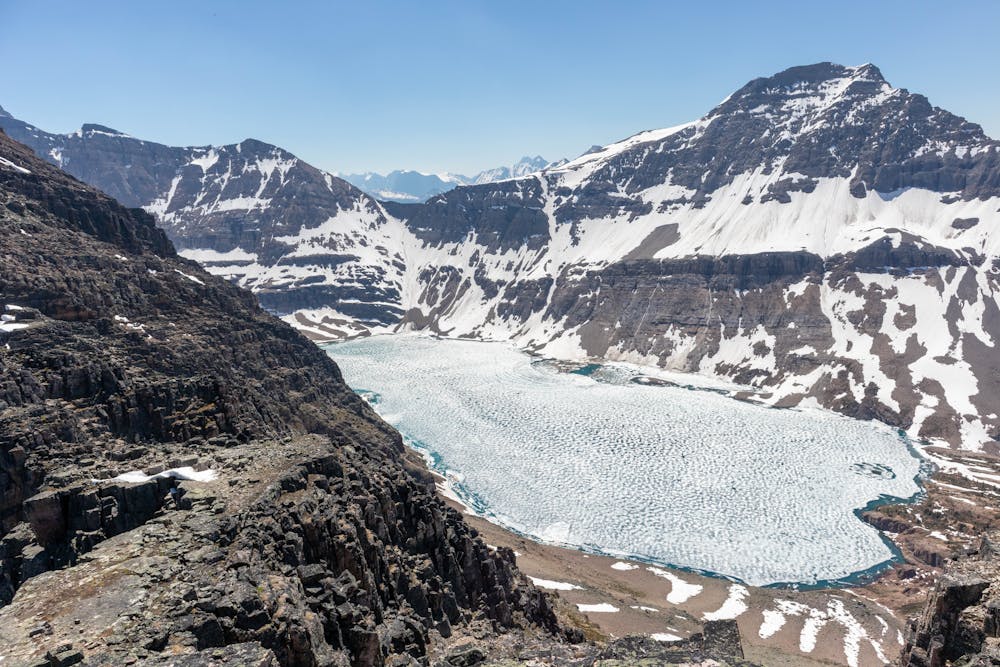
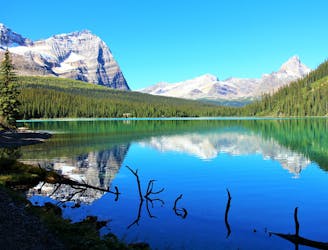
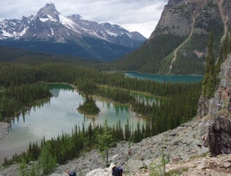
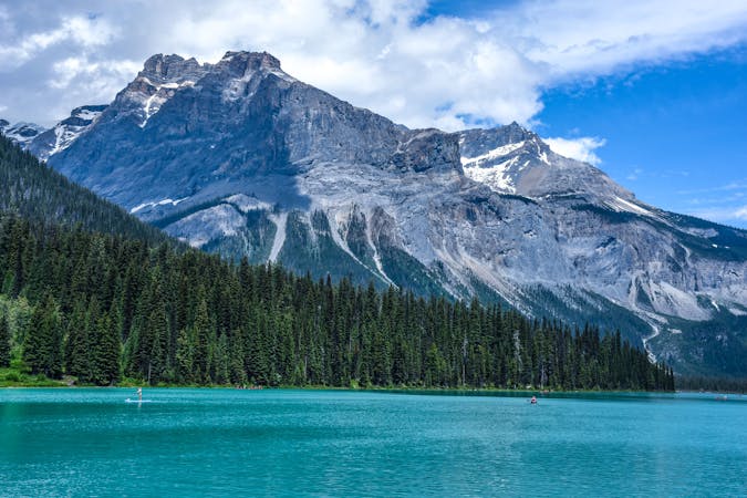
From the ridgeline, you get some fantastic views of the surrounding mountains along with your first glimpse of the magnificent Lake McArthur.
The final push to the summit requires some simple scrambling, but the route is relatively easy to follow and the summit is much closer than it looks.
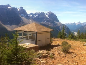
The views from the summit are superb, with outstanding views of Lake O'Hara and Lake McArthur. This is a really unique viewpoint, being able to look into both valleys on either side of Mount Schaffer gives you the best 360 view of the Lake O'Hara area.
You can descend straight back down to Schaffer Lake if you are short on time, but it's well worth taking the longer trail back and visiting Lake McArthur. This is a stunning area that you definitely don't want to miss.
Even with the longer descent route, this isn't a particularly long hike, so this is a great route to do on your first or last day when visiting Lake O'Hara.
Extreme
Scrambling up mountains and along technical trails with moderate fall exposure. Handholds are necessary to navigate the trail in its entirety, although they are not necessary at all times. Some obstacles can be very large and difficult to navigate, and the grades can often be near-vertical. The challenge of the trail and the steepness of the grade results in very strenuous hiking. Hikes of this difficulty blur the lines between "hiking" and "climbing".

Some trail sections are extremely exposed where falling will almost certainly result in serious injury or death.

Little chance of being seen or helped in case of an accident.
595 m away
An epic day hike almost entirely above treeline, connecting proud overlooks and smaller lakes above Lake O'Hara.
Severe Hiking
767 m away
Simple loop around the lake, but with extraordinary views.
Easy Hiking
767 m away
The most direct route to the single best viewpoint over Lake O'Hara.
Difficult Hiking
8.7 km away
A mountainside view of surrounding peaks and two expansive river valleys.
Difficult Hiking
8.7 km away
Forest hike to a lake in a valley surrounded by peaks and streaked by avalanche paths.
Moderate Hiking
4 routes · Hiking

4 routes · Hiking
7 routes · Hiking
5 routes · Hiking
4 routes · Hiking