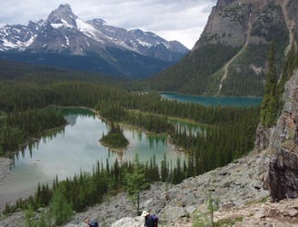
Paget Peak Lookout
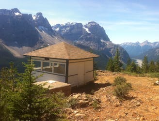
A mountainside view of surrounding peaks and two expansive river valleys.
Difficult Hiking
- Distance
- 6.9 km
- Ascent
- 489 m
- Descent
- 489 m
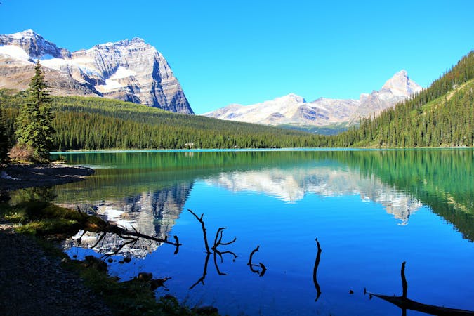
Forest hike to a lake in a valley surrounded by peaks and streaked by avalanche paths.
Hiking Moderate

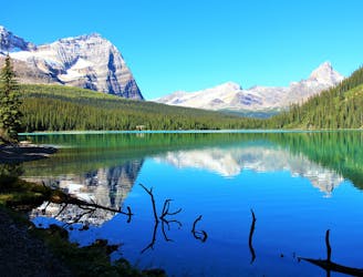
This hike begins at a rather unassuming trailhead beside the highway at Wapta Lake. Thus, it doesn’t get the crowds that it might, were it better signed. Sherbrooke Lake is a rather large alpine lake tucked into a particularly narrow and steep valley. Getting there takes a gentle uphill stroll through thick conifer forest. The tree density lessens somewhat as you near the lake, and you’ll hear the creek rushing downhill nearby as you glimpse peaks rising above. Keep an eye out for wildlife like deer and elk, as this is a particularly good habitat.
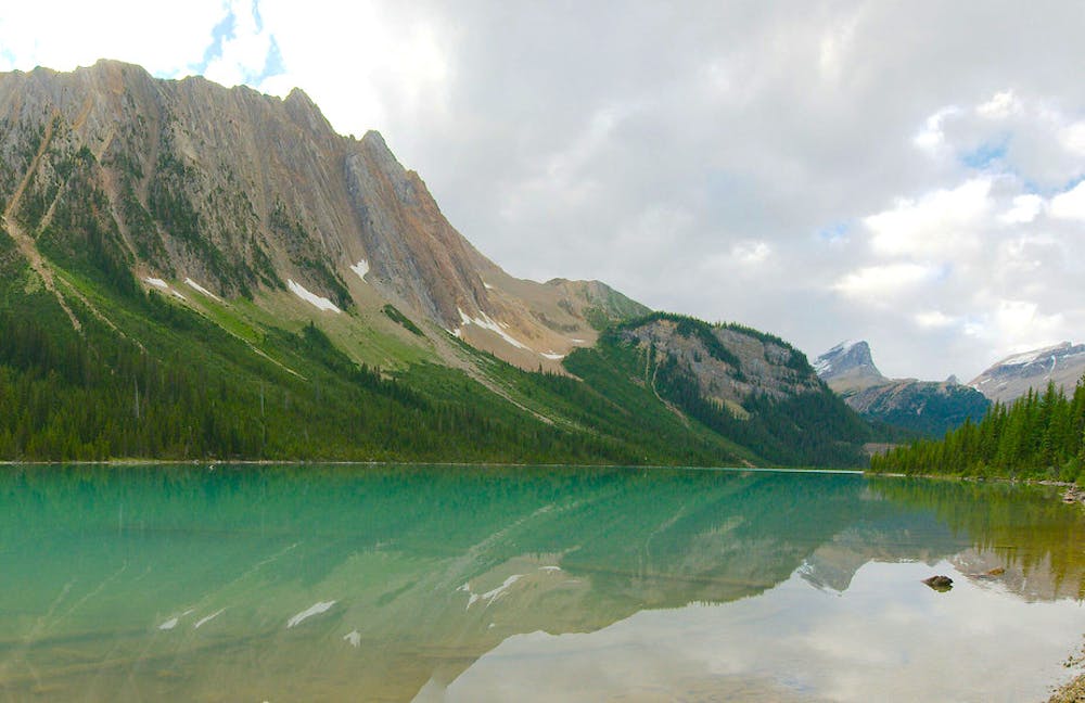
Once at the lake, the scale of the landscape becomes really apparent. Across the water, the other side the near-vertical cliffs of Mount Ogden form a jagged skyline, and beyond the lake, farther up the valley, even taller peaks make the backdrop. Take some time to explore the lakeshore, noting the places where massive avalanches have brought debris right down to the water.
Sources: https://www.pc.gc.ca/en/pn-np/bc/yoho/activ/randonnee-hike/jour-day https://ruhlsoftheroad.com/yoho/#4BestHikeinYoho%E2%80%93SherbrookeLakePagetPeak
Moderate
Hiking along trails with some uneven terrain and small hills. Small rocks and roots may be present.

The trail contains some obstacles such as outcroppings and rock which could cause injury.
Away from help but easily accessed.
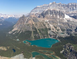
A mountainside view of surrounding peaks and two expansive river valleys.
Difficult Hiking
8.7 km away
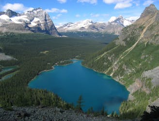
One of the more challenging routes at Lake O'Hara with no shortage of amazing views.
Extreme Hiking
9.3 km away
An epic day hike almost entirely above treeline, connecting proud overlooks and smaller lakes above Lake O'Hara.
Severe Hiking
9.4 km away
Simple loop around the lake, but with extraordinary views.
Easy Hiking
9.4 km away
The most direct route to the single best viewpoint over Lake O'Hara.
Difficult Hiking
4 routes · Hiking

4 routes · Hiking
7 routes · Hiking
5 routes · Hiking
4 routes · Hiking