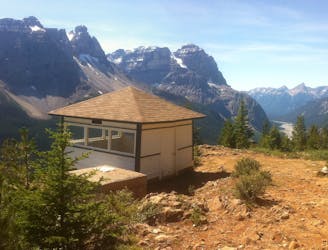
Opabin Prospect Out-and-Back
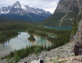
The most direct route to the single best viewpoint over Lake O'Hara.
Difficult Hiking
- Distance
- 3.9 km
- Ascent
- 252 m
- Descent
- 252 m
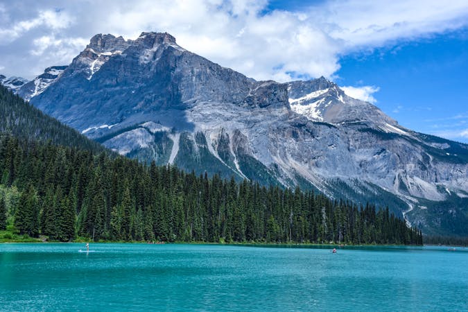
Simple loop around the lake, but with extraordinary views.
Hiking Easy
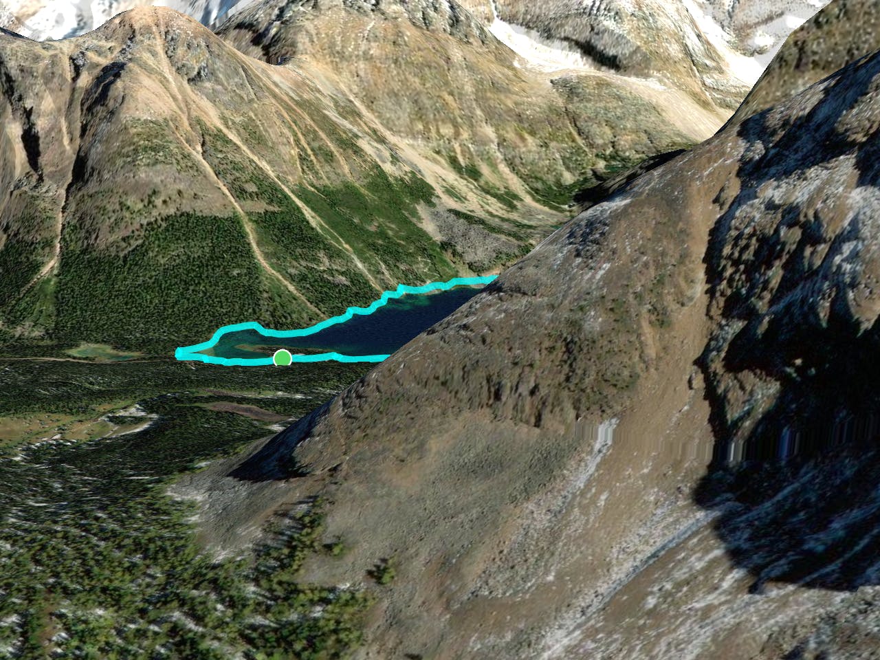
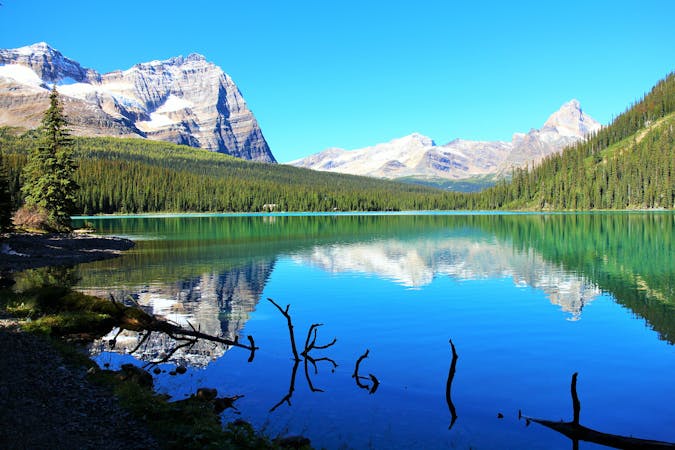
If you’re looking for a short and sweet hike at Lake O’Hara, look no further than the shore of the lake itself. The Lakeshore Trail makes a circuit all the way around, finding every possible angle on the reflective water and mountains overhead. You’ll find endless photo opportunities as well as side trails to quiet spots at the lakeside. Before or after your hike, you might enjoy a fresh-made lunch at the Lake O’Hara lodge, or coffee and cake at Le Relais Day Shelter.

If you want to visit Lake O’Hara you must plan ahead. Private cars are not allowed to drive there, so you must reserve a bus ride or walk the 11-km dirt road. Find more information on the Parks Canada website.
Easy
Walking along a well-kept trail that’s mostly flat. No obstacles are present.

The trail contains some obstacles such as outcroppings and rock which could cause injury.

Close to help in case of emergency.
The most direct route to the single best viewpoint over Lake O'Hara.
Difficult Hiking
175 m away
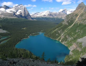
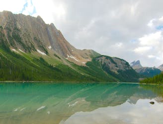
An epic day hike almost entirely above treeline, connecting proud overlooks and smaller lakes above Lake O'Hara.
Severe Hiking
767 m away
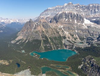
One of the more challenging routes at Lake O'Hara with no shortage of amazing views.
Extreme Hiking
9.4 km away
A mountainside view of surrounding peaks and two expansive river valleys.
Difficult Hiking
9.4 km away
Forest hike to a lake in a valley surrounded by peaks and streaked by avalanche paths.
Moderate Hiking
4 routes · Hiking

4 routes · Hiking
7 routes · Hiking
5 routes · Hiking
4 routes · Hiking