1.5 km away
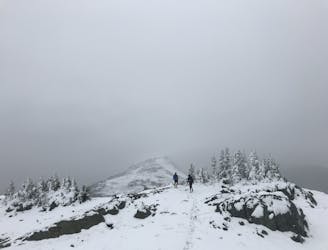
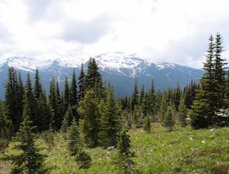
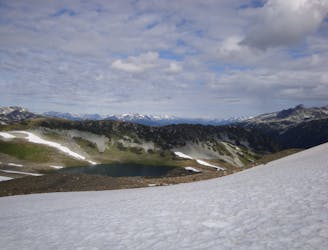
Whistler Alpine: Harmony Lake -> Musical Bumps -> High Note
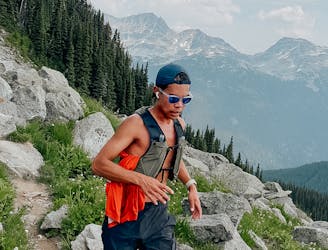
Explore the alpine meadows, pristine lakes & rugged peaks of Whistler on this picturesque 10km route.
Difficult Hiking
- Distance
- 11 km
- Ascent
- 845 m
- Descent
- 497 m
A connecting road from the top of Whistler Peak.
Hiking Easy

This is a popular hiking route which is generally considered to be easy. It's an unknown remoteness, it features unknown exposure and is typically done in an unknown time of year. From a low point of 2 km to the maximum altitude of 2.1 km, the route covers 1.3 km, 14 vertical metres of ascent and 114 vertical metres of descent.
This connecting trail allows for numerous variations of the main hiking routes, High Note and Half Note.
Easy
Walking along a well-kept trail that’s mostly flat. No obstacles are present.
1.5 km away
Explore the alpine meadows, pristine lakes & rugged peaks of Whistler on this picturesque 10km route.
Difficult Hiking
1.5 km away
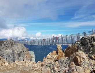
A classic hike atop Whistler Peak that utilizes the Peak Express Lift to form a loop known for its endless views.
Moderate Hiking
1.5 km away
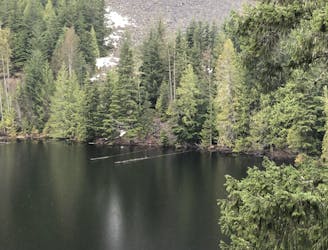
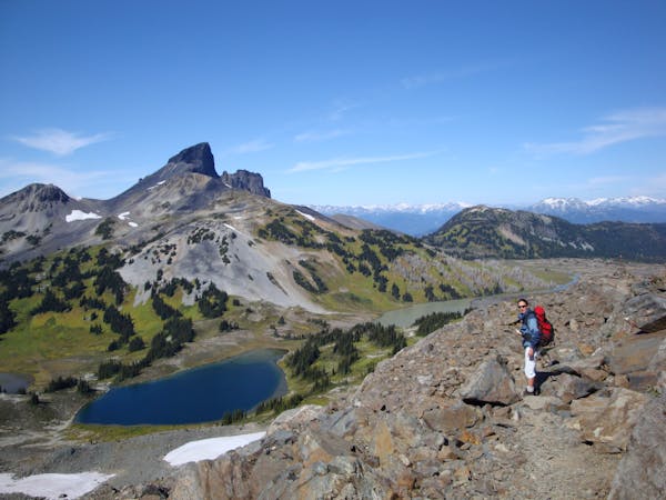
Hike from Whistler Resort through mountain meadows along an eye-popping ridgeline, to a small lake tucked high in the alpine.
Difficult Hiking
2.9 km away
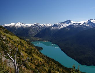
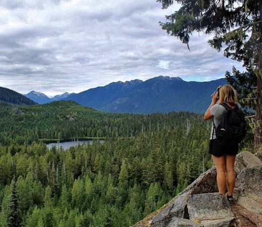
Walk among huge trees to a milky blue lake with swim spots and campsites in Garibaldi Provincial Park.
Moderate Hiking
3 km away
A 1-2 day extension to the Rubble-Helm Circuit
Extreme Hiking
5.9 km away
Linkup of all the best hiking trails on Blackcomb Mountain.
Moderate Hiking
6.3 km away
A popular backpacking route with options to form a loop and camping options along Russet Lake.
Difficult Hiking
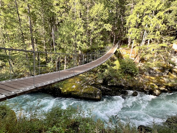
6.7 km away
Semi-quiet trail with some scenic vistas accessible via local transit.
Difficult Hiking
7 km away
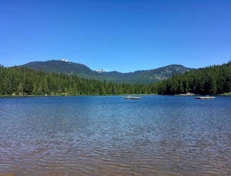
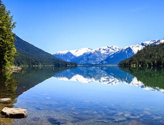
Hike along a flat gravel path to a beautiful swimming lake.
Easy Hiking
7 km away

The easiest singletrack trails in Whistler.
Moderate Hiking
10 routes · Hiking
6 routes · Hiking
18 routes · Hiking