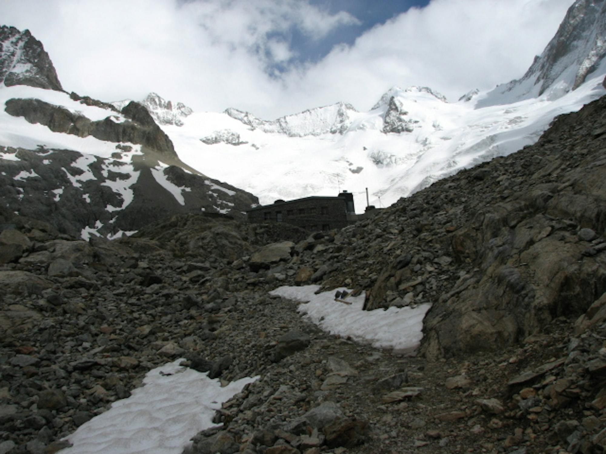
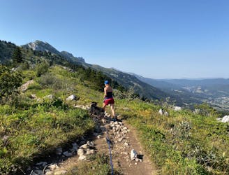
Hiking to Grande Tête de l'Obiou

Hiking to Grande Tête de l'Obiou
Difficult Hiking
- Distance
- 10 km
- Ascent
- 1.3 km
- Descent
- 1.3 km
Explore Isère with curated guides of the best hiking trails, ski routes, and more. With over 92 3D trail maps in FATMAP, you can easily discover and navigate the best trails in Isère.
No matter what your next adventure has in store, you can find a guide on FATMAP to help you plan your next epic trip.
Get a top trail recommendation in Isère from one of our 6 guidebooks, or get inspired by the 92 local adventures uploaded by the FATMAP community. Start exploring now!
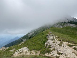
Hiking to Grande Tête de l'Obiou
Difficult Hiking
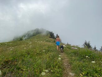
Easy loop hike from Seyssinet Pariset, with views over Grenoble on the way back.
Easy Hiking

Circuit d'initiation de 6 km
Easy Mountain Biking

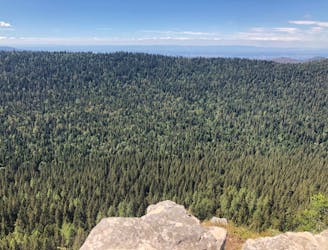
Le taillefer from La Morte, including a steep detour down.
Difficult Ski Touring
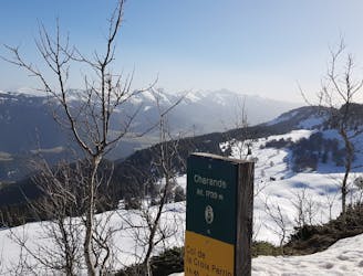
Départ Chamrousse 1750
Moderate Ski Touring
Boucle qui monte au sommet Charande depuis le centre du village en passant par le refuge des Feneys.
Moderate Hiking

Randonnée à ski depuis le village de Besse-En-Oisans
Difficult Ski Touring

Itinéraire peu emprunté, dénivelé abordable, attention aux paturages
Moderate Ski Touring

Voie classique pour le sommet du Taillefer en ski de randonnée
Difficult Ski Touring
De l'alpi en bus depuis Grenoble.
Moderate Alpine Climbing
Une rando accessible en bus de Grenoble
Easy Hiking
Mini summit and ridge hike with two lovely refuges
Moderate Hiking
Stunning plateaus and vistas above Correncon
Moderate Hiking
Easy loop with a view around the Auberge des Aillieres
Moderate Hiking
Summit that takes in the best of the Vercors Valley
Moderate Hiking
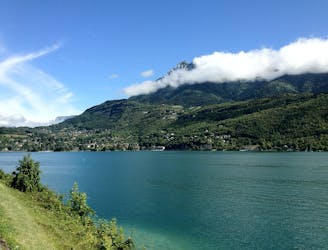
A lovely varied ride on quiet roads through 3 mountain ranges, past ancient castles and along Lake Annecy.
Severe Road Biking