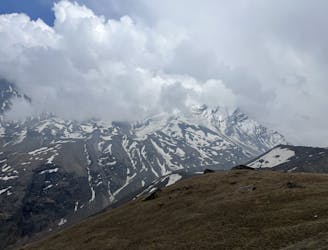
Gangotri to Gaumukh
The big trek of the region! And access to the big mountains of Uttarakhand.
Moderate Trail Running
- Distance
- 20 km
- Ascent
- 1.5 km
- Descent
- 248 m
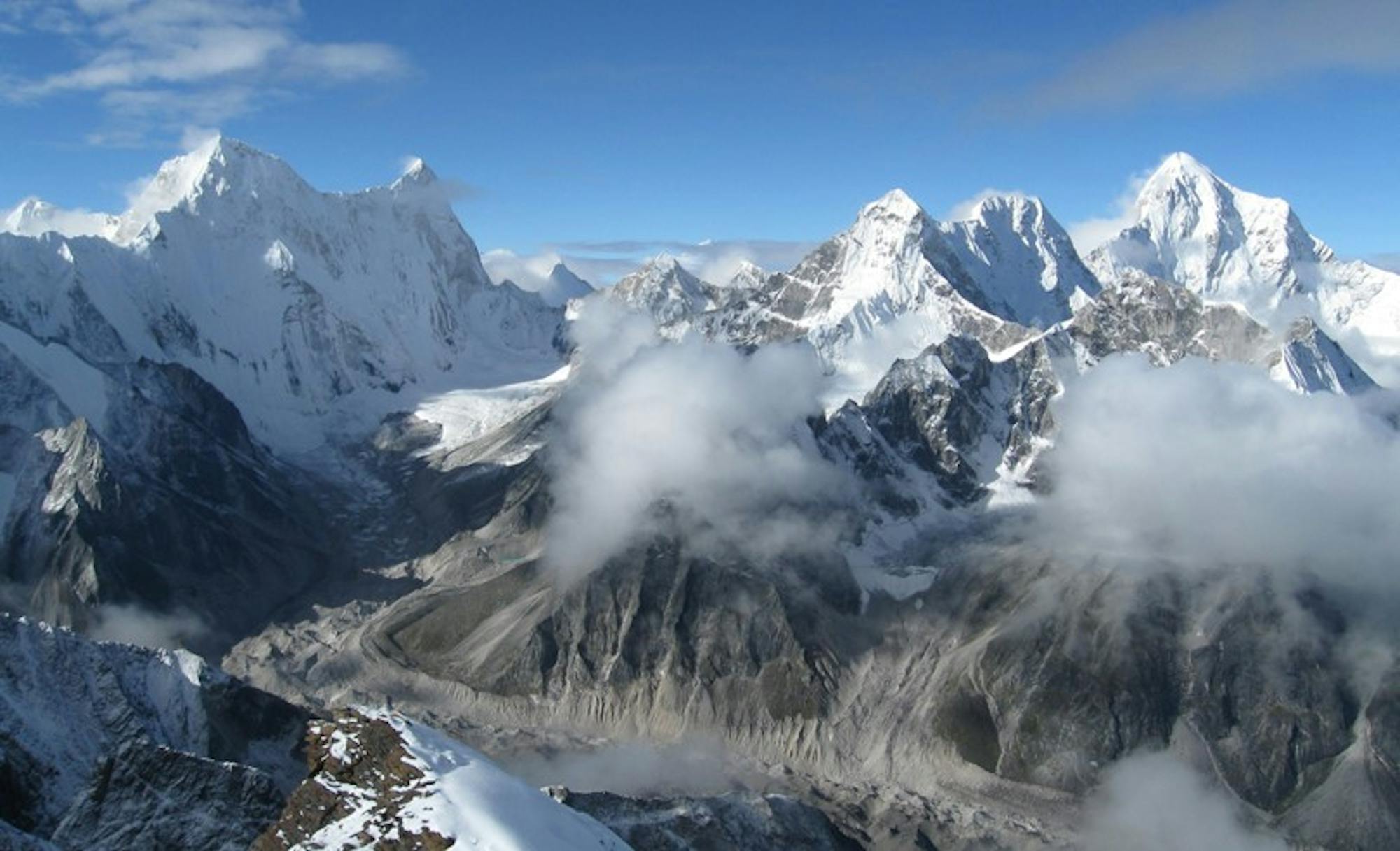
Explore Uttarakhand with curated guides of the best hiking trails, and more. With over 17 3D trail maps in FATMAP, you can easily discover and navigate the best trails in Uttarakhand.
No matter what your next adventure has in store, you can find a guide on FATMAP to help you plan your next epic trip.
Get a top trail recommendation in Uttarakhand, or get inspired by the 17 local adventures uploaded by the FATMAP community. Start exploring now!
The big trek of the region! And access to the big mountains of Uttarakhand.
Moderate Trail Running
Another excellent acclimatization run on the more popular Kedar Tal route.
Moderate Trail Running

Bali Pass via Har Ki Dun trek
Difficult Hiking

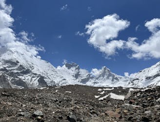
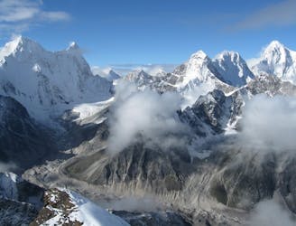
Spectecular trek to the source of the river Ganga!
Moderate Hiking
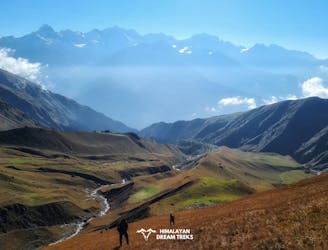
Stunning walk in the Garhwal Himalaya that offers wide Himalayan vistas, high mountain views and stunning campsites
Moderate Hiking
Walk on the grandest meadow of India. Gidara Bugyal Trek with Dayara Bugyal.
Moderate Hiking

Zig Zag Line testing
Extreme Freeride Skiing

Paweth route tracking
Extreme Mountain Biking

Route of Sari, Deoria tal and Chandrashila
Easy Hiking
An attempt to climb Manda II via it's East Couloir.
Easy Alpine Climbing
A close patch of snow to the lower Bhrigupanth Glacier
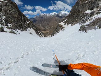
Easy Ski Touring
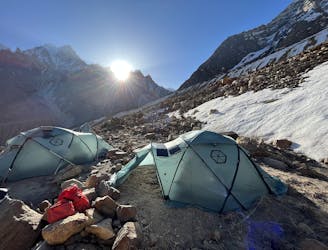
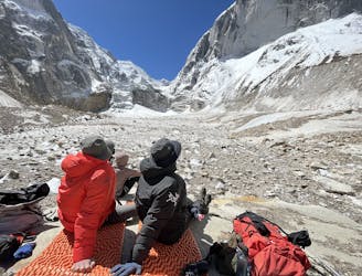
Rough Hiking route to BC on Bhrigupanth Glacier
Moderate Hiking
An excellent acclimatization route above the Gangotri Caves
Easy Trail Running
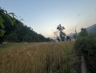
A nice path to stretch the legs en-route to Gangotri
Easy Trail Running
Walk in to base of Changabang
Moderate Hiking

Tucked away in the heart of the Garhwal Himalayas, the Har Ki Dun trek is one of the most sought-after treks these days owing to the incredible views.
Moderate Hiking