Colle Valdobbia - Ospizio Sottile
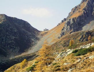
Ca' di Janzo - Ospizio Sottile al Colle Valdobbia
Moderate Hiking
- Distance
- 8.5 km
- Ascent
- 1.2 km
- Descent
- 55 m

Go hiking in Aoste with curated guides of the best hikes across the region. With over 331 3D trail maps in FATMAP, you can easily discover and navigate the best trails in Aoste.
No matter what your next adventure has in store, you can find a guide on FATMAP to help you plan your next epic trip.
Get a top hiking trail recommendation in Aoste from one of our 36 guidebooks, or get inspired by the 331 local adventures uploaded by the FATMAP community. Start exploring now!
Ca' di Janzo - Ospizio Sottile al Colle Valdobbia
Moderate Hiking
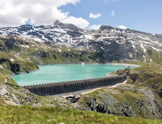
great alpine hiking around lake goillet
Moderate Hiking
Da Frachey al Rif. Quintino Sella, si scende Alpe di Verra Superiore, si risale al Rif. delle quide di Ayas. Passando per il Rif. O.Mezzalama. Si riscende verso il Lago Blù , Pian di Verra Inferiore. Si sale al Rif. Ferrario, per scendere a valle al parcheggio.
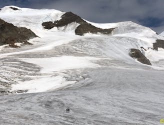
Extreme Hiking

Complete Tour du Mont Blanc - East Side
Moderate Hiking

From the popular Rifugion Bonatti to the local secret of Planaval and the Petite Bergerie
Difficult Hiking

From one Italian alpine delight to another through some beautiful trails and fabulous views
Moderate Hiking

A wild hike from the comforts of Planaval to perhaps the best bivouac hut and view of the Mont Blanc Massif in the world
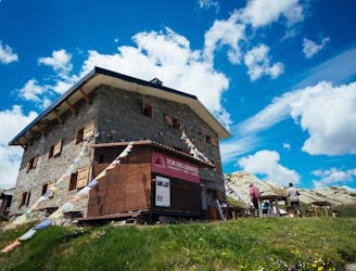
Difficult Hiking

Hike from the parking lot to Vittorio Emanuelle II Hut
Moderate Hiking

Trekking di tre giorni attraverso i valloni del Grauson, della Laures, dell'Arbolle e dall'Arpisson
Severe Hiking

"High Route 1": Tour of the giants
Difficult Hiking

Giro alto e lungo che percorre 3 passi alpini.
Severe Hiking
Vista sul Ghiacciaio del Rutor, passando per le famose 3 Cascate del Rutor.
Moderate Hiking
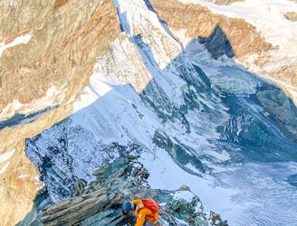
A Single Push on the Lion Ridge
Extreme Hiking

A short circuit walk from Crest
Moderate Hiking

Niel - Monte Cossarello
Easy Hiking

Da valle gressoney
Difficult Hiking