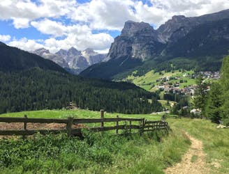
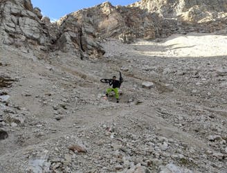
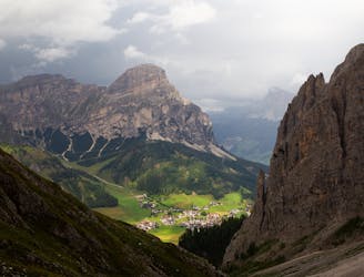
Corvara - Cascata Pisciadú - Pescosta - Corvara
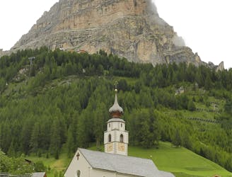
A wonderful journey beneath some epic Dolomitic scenery.
Moderate Mountain Biking
- Distance
- 9.9 km
- Ascent
- 313 m
- Descent
- 312 m
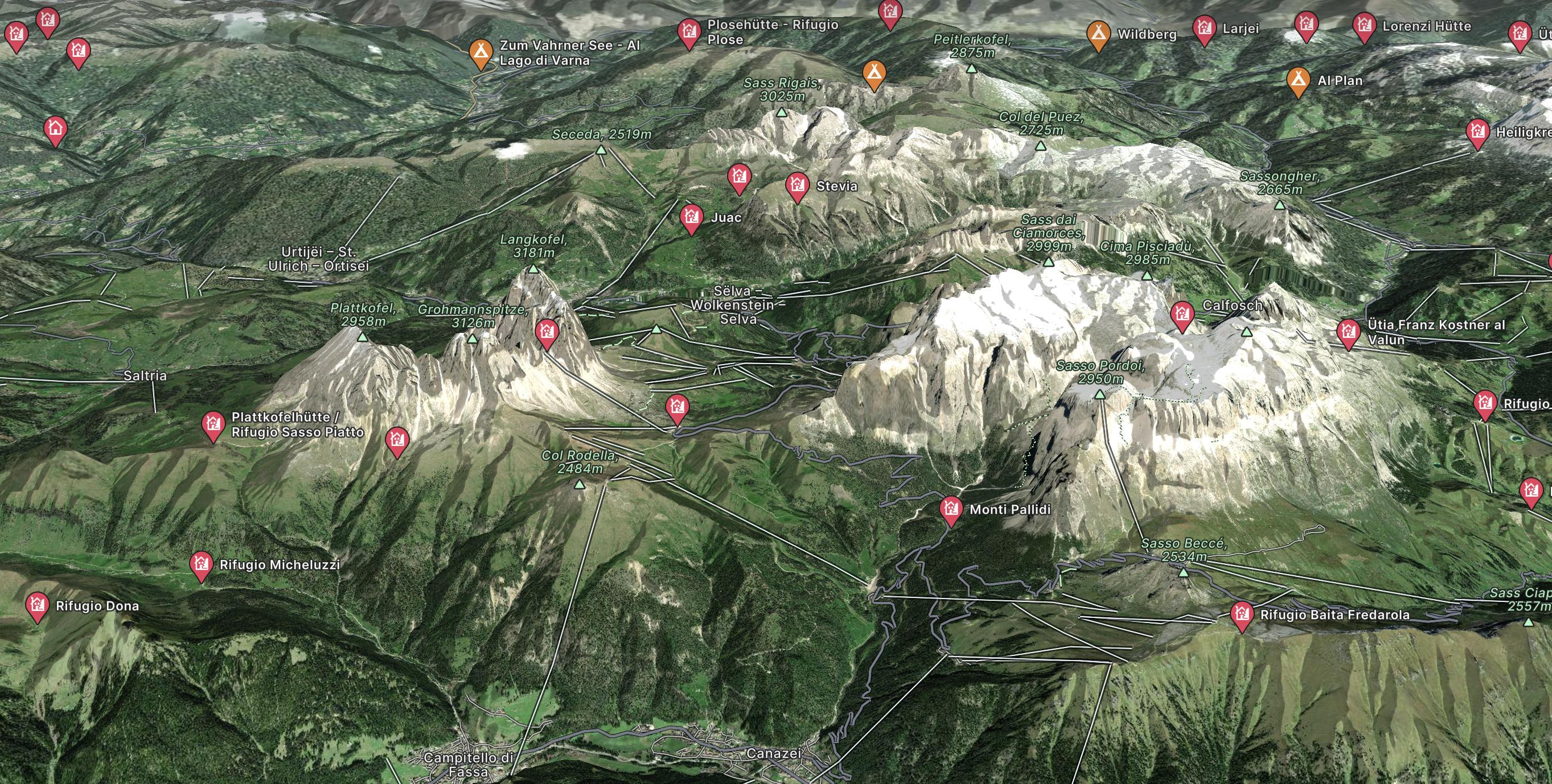
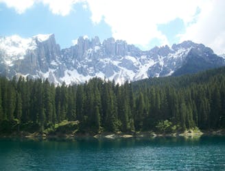
Explore Dolomites with curated guides of the best hiking trails, mountain bike trails, ski routes, and more. With over 88 3D trail maps in FATMAP, you can easily discover and navigate the best trails in Dolomites .
No matter what your next adventure has in store, you can find a guide on FATMAP to help you plan your next epic trip.
Get a top trail recommendation in Dolomites from one of our 16 guidebooks, or get inspired by the 88 local adventures uploaded by the FATMAP community. Start exploring now!
A wonderful journey beneath some epic Dolomitic scenery.
Moderate Mountain Biking
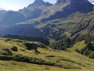
A scenic cruise through a famous Ladin valley.
Moderate Mountain Biking
A lovely cruise on gravel roads, occasional tarmac and some very easy singletrack.
Easy Mountain Biking
A tough climb to a famous col and then a beautiful, sweeping descent.
Difficult Mountain Biking
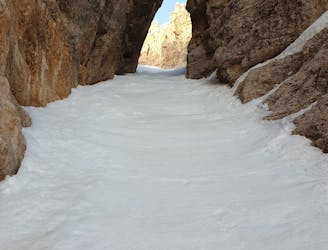
A tight couloir followed by a beautiful, open face.
Severe Freeride Skiing
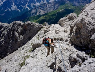
Traverse the Dolomites from west to east along this popular high altitude trail.
Severe Hiking
Cross the Dolomites by foot from Brixen to Salurn along the “High Trail of Heroes."
Difficult Hiking
The strenuous “Way of the Legends” high altitude hiking trail across the Dolomites.
Difficult Hiking
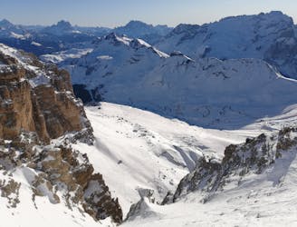
One of the most famous ski descents in the Dolomites with epic scenery throughout.
Difficult Freeride Skiing
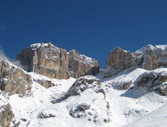
A true Dolomites classic with a short approach and some atmospheric skiing.
Difficult Ski Touring
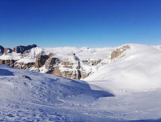
A quickly accessed loop through some huge terrain
Difficult Ski Touring
A Stunning Journey Across the Sella Massif Followed By An Aesthetic Steep Descent
Severe Ski Touring
Beautiful couloir between Dolomite rocks
Severe Freeride Skiing

Dolomiti - Lago di Antermoia
Difficult Hiking
Zona: gruppo Puez/Odle Lunghezza: 38km Dislivello:2260m (con doppia funivia fino stazione monte Seceda 1300m) Cartina: Tabacco n° 05 1:25000 (Val Gardena) Luogo di partenza e arrivo: Selva di Val Gardena (BZ)
Severe Mountain Biking
Rewarding hike to one of the peaks of Sella Group
Difficult Hiking