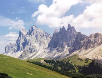
Adolf Munkel Weg
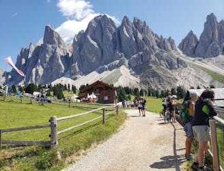
Loop hike to rifugios and a park with stunning scenery
Moderate Hiking
- Distance
- 11 km
- Ascent
- 473 m
- Descent
- 473 m
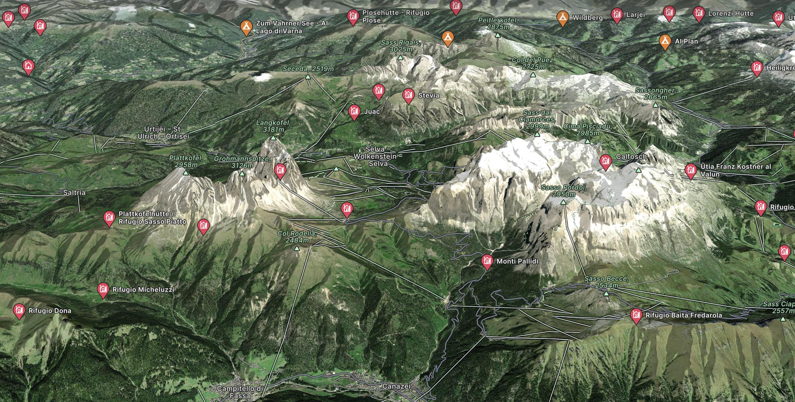
Explore Dolomites with curated guides of the best hiking trails, mountain bike trails, ski routes, and more. With over 90 3D trail maps in FATMAP, you can easily discover and navigate the best trails in Dolomites .
No matter what your next adventure has in store, you can find a guide on FATMAP to help you plan your next epic trip.
Get a top trail recommendation in Dolomites from one of our 16 guidebooks, or get inspired by the 90 local adventures uploaded by the FATMAP community. Start exploring now!
Loop hike to rifugios and a park with stunning scenery
Moderate Hiking

Explorer enduro tour
Difficult Mountain Biking
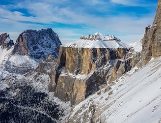
Exposed ski-tour to the summit of Sasso Pordoi in the Dolomites.
Moderate Ski Touring
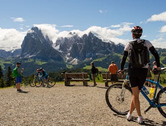
Tour trough the beautifull Val Gardena and the Sassolung Bike Park
Moderate Mountain Biking
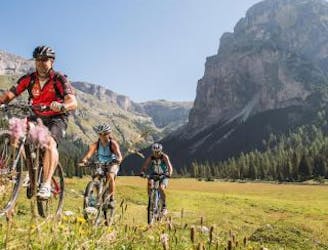
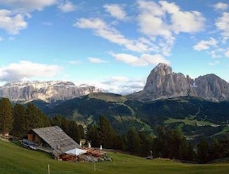
Ortisei-Monte Pana-Alpe di Siusi
Easy Mountain Biking
From the top of the Alpe di Siusi Cablecar to the Bullaccia/Puflatsch panorama point
Easy Mountain Biking
Alpe di Siusi to Saltria and trough the Jender Valley towards Ortisei
Easy Mountain Biking
Trail Route with panoramic view
Moderate Mountain Biking
Up to the church of Resciesa than Brogles and Cuecenes Valley
Difficult Mountain Biking
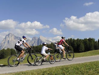
Beautiful Tour on the scenic Alpe di Siusi and the Val Gardena.
Easy Mountain Biking