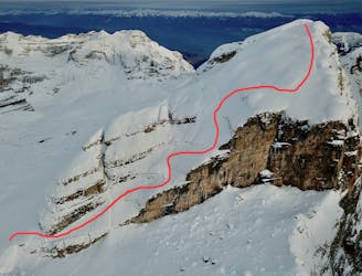
Skitour finishing between Wurmkogel and vorderer Wurmkogel

Skitour close to Hochgurgl with a perfect freeride descent
Difficult Ski Touring
- Distance
- 7.6 km
- Ascent
- 876 m
- Descent
- 875 m
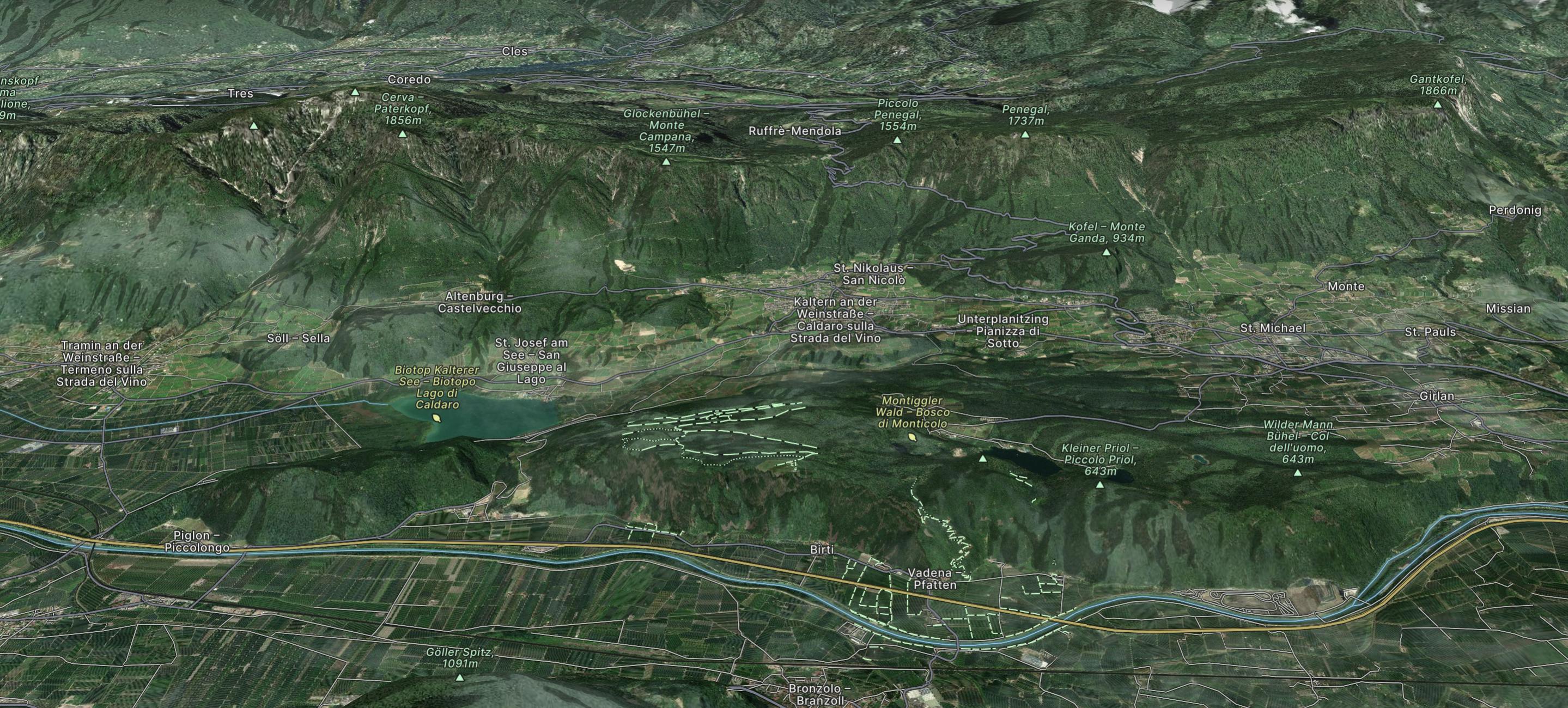
Explore Trentino-Alto Adige with curated guides of the best hiking trails, mountain bike trails, trail running routes, ski routes, and more. With over 489 3D trail maps in FATMAP, you can easily discover and navigate the best trails in Trentino-Alto Adige.
No matter what your next adventure has in store, you can find a guide on FATMAP to help you plan your next epic trip.
Get a top trail recommendation in Trentino-Alto Adige from one of our 42 guidebooks, or get inspired by the 489 local adventures uploaded by the FATMAP community. Start exploring now!
Skitour close to Hochgurgl with a perfect freeride descent
Difficult Ski Touring
Aesthetic line, exposed but not difficult to ski
Difficult Ski Touring
The famous Tappeinerweg / Tappeiner promonade is an easy, family friendly, pushchair friendly walk any time of year with great views of the city and plenty of refreshments along the way.
Easy Hiking
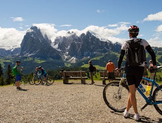
Trail Route with panoramic view
Moderate Mountain Biking
Easy Freeride Skiing
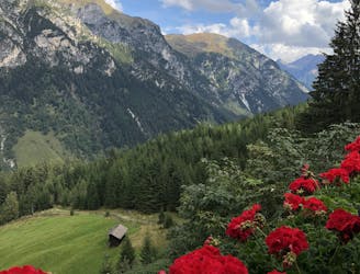
Feuerstein to Almrissalm
Easy Hiking
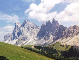
Up to the church of Resciesa than Brogles and Cuecenes Valley
Difficult Mountain Biking
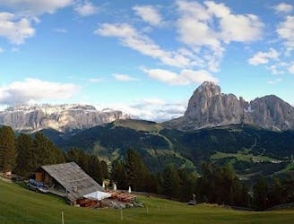
Beautiful Tour on the scenic Alpe di Siusi and the Val Gardena.
Easy Mountain Biking

The alternative of the classic Roßkirpel off piste for more experienced skiers
Difficult Ski Touring