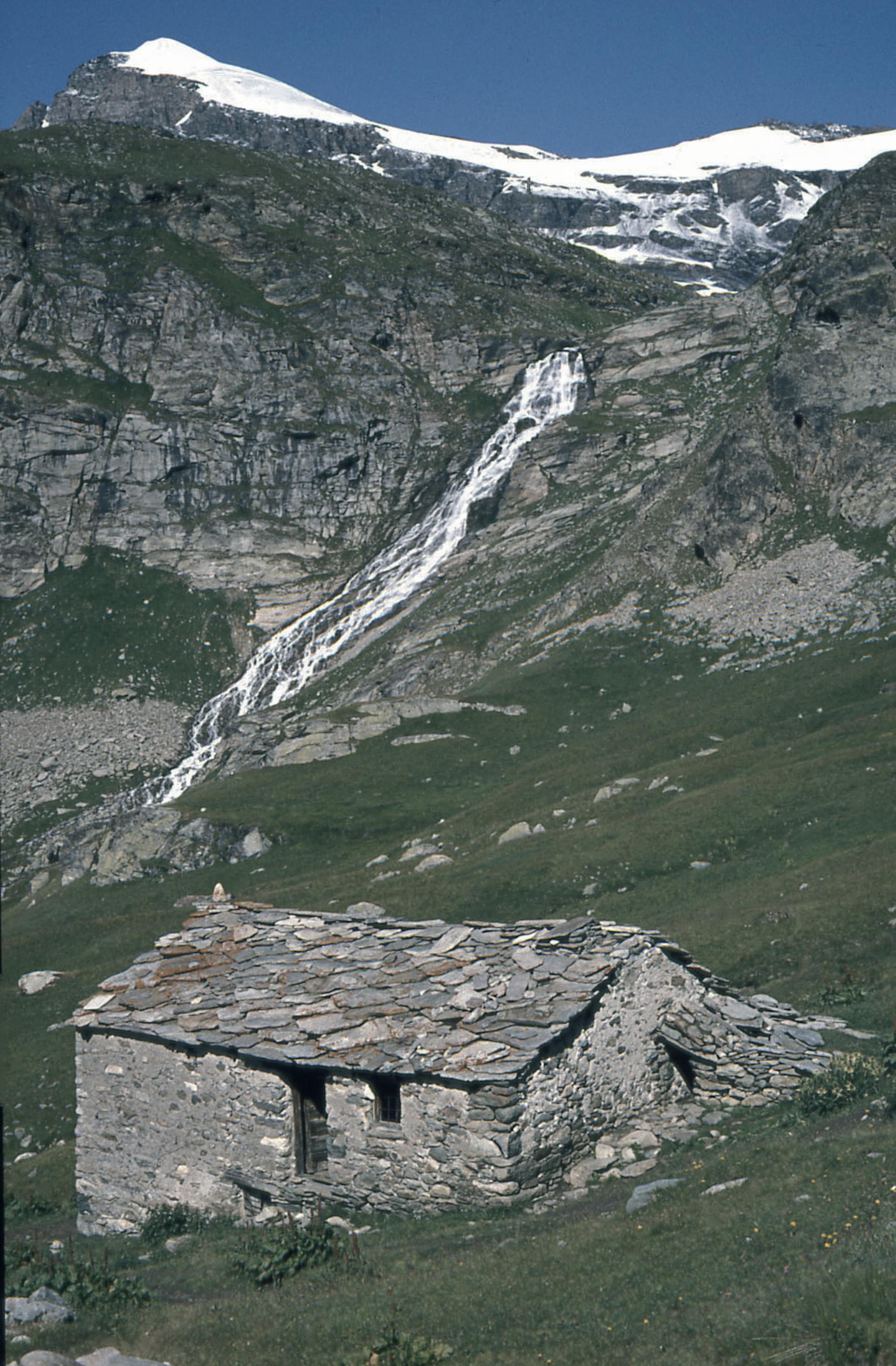
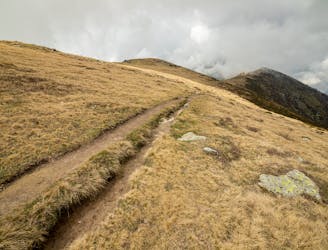
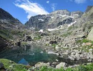
High Maurienne Trail to Refuge Carro
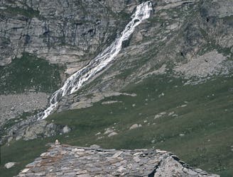
A walk along the rocky alpine pastures, facing the majestic glacial cirques of the Arc springs.
Moderate Hiking
- Distance
- 22 km
- Ascent
- 908 m
- Descent
- 908 m
Go hiking in Charbonnel Group with curated guides of the best hikes across the region. With over 81 3D trail maps in FATMAP, you can easily discover and navigate the best trails in Charbonnel Group.
No matter what your next adventure has in store, you can find a guide on FATMAP to help you plan your next epic trip.
Get a top hiking trail recommendation in Charbonnel Group from one of our 5 guidebooks, or get inspired by the 81 local adventures uploaded by the FATMAP community. Start exploring now!
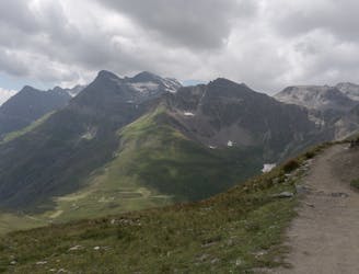
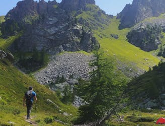
A walk along the rocky alpine pastures, facing the majestic glacial cirques of the Arc springs.
Moderate Hiking

The HRP of the Alpes across France, Switzerland and Italie
Difficult Hiking

Traverse of the French Alps oin opposite direction
Difficult Hiking

Da Margone a Lago Nero per Lago Malciaussia
Difficult Hiking

Trekking over the French Alps from the Geneva Lake to Mediterrian
Difficult Hiking
Long trip from Malciaussia Lake to Colle dell'Autaret and Punta Costan.
Severe Hiking
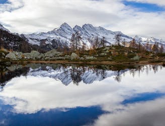
easy route to a wonderfull lake
Moderate Hiking

Passo della Croce ( 1.162 mt ) - Colle San Giacomo ( 1.462 mt ) – Colle della Forchetta ( 1.584 mt ) – Rocca del Gallo ( 1.693 mt ) – Prati della Fontana ( 1.708 mt ) – Punta Gias Vej ( 2.179 mt ) – Alpe Costapiana ( 2.250 mt ) – Colle di Perascritta ( 2.158 mt ) – Punta dell’ Aggia ( 2.254 mt ) – Colle di Pian Pertus ( 2.031 mt ) – Monte Croass ( 2.155 mt ) - Monte Vaccarezza ( 2.203 mt )- ritorno fino al colletto quotato ( 2.206 mt ) dopo il colle Pian Pertus – Rifugio Salvin ( 1.576 mt ) – Alpe Roca Balma Bianca ( 1.565 mt ) Colle della Forchetta ( 1.584 mt ) – Colle san Giacomo – Passo della Croce
Moderate Hiking
Easy trip to reach Monte Soglio
Easy Hiking
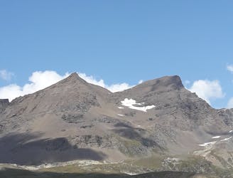
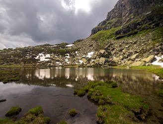
An alpine and accesible summit
Moderate Hiking
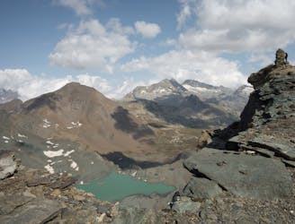
A true balcony over the alpine glaciers
Moderate Hiking
Découvrez les terrasses du Montet puis montez la Grande Aiguille Rousse puis la Levanna Occidentale, deux sommets à plus de 3400 mètres d’altitude.
Difficult Hiking
The itinerary is very pleasant, completely surrounded by nature.
Moderate Hiking
Passeggiata tranquilla con difficoltà media
Moderate Hiking
Beautiful trip from Ceresole Reale to Bellagarda Lakes.
Moderate Hiking
Short trip from Rivotti to the two Sagnasse Lakes.
Easy Hiking