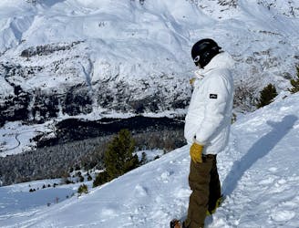
Grand Vallon Variant

A long ski descent away from the lifts with a lot of space for exploration.
Difficult Freeride Skiing
- Distance
- 5.4 km
- Ascent
- 33 m
- Descent
- 1 km
Explore Charbonnel Group with curated guides of the best hiking trails, mountain bike trails, ski routes, and more. With over 80 3D trail maps in FATMAP, you can easily discover and navigate the best trails in Charbonnel Group.
No matter what your next adventure has in store, you can find a guide on FATMAP to help you plan your next epic trip.
Get a top trail recommendation in Charbonnel Group from one of our 5 guidebooks, or get inspired by the 80 local adventures uploaded by the FATMAP community. Start exploring now!
A long ski descent away from the lifts with a lot of space for exploration.
Difficult Freeride Skiing

Wide open skiing with a few fun variations.
Difficult Freeride Skiing

Great tree skiing - good for bad visibility/weather days
Difficult Freeride Skiing

Short, steep, easy-access tree lines
Difficult Freeride Skiing

A fantastic journey for those willing to put in a bit of effort.
Severe Freeride Skiing

A classic easy off-piste at a mellow gradient
Difficult Freeride Skiing

Great short descent through open terrain and short forrest.
Difficult Freeride Skiing

An easily-accessed bowl to lap straight after snowfall.
Difficult Freeride Skiing

A good introduction to off-piste skiing at high altitude
Difficult Freeride Skiing

More technical variant of Grand Vallon
Difficult Freeride Skiing

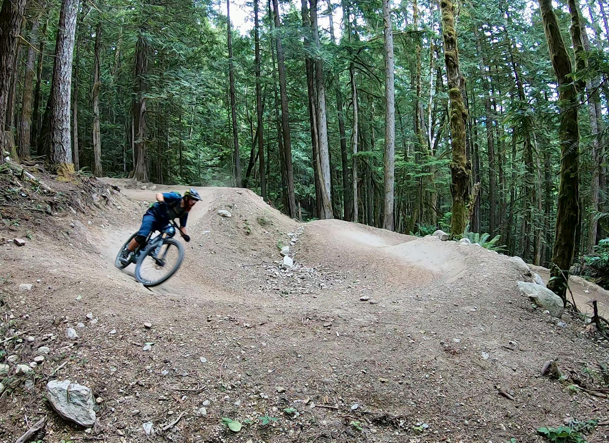
Feed to the mountain
Difficult Mountain Biking
A secret garden with lots of fresh snow.
Moderate Freeride Skiing

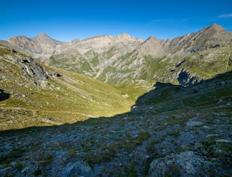
Traverse of the French Alps oin opposite direction
Difficult Hiking

Da Margone a Lago Nero per Lago Malciaussia
Difficult Hiking

Trekking over the French Alps from the Geneva Lake to Mediterrian
Difficult Hiking
Long trip from Malciaussia Lake to Colle dell'Autaret and Punta Costan.
Severe Hiking