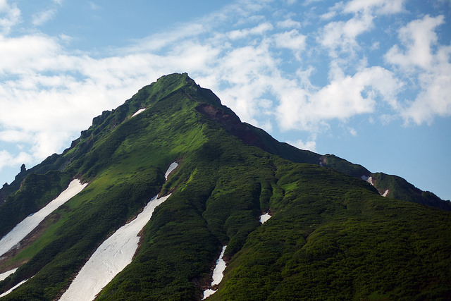
39 routes · Freeride Skiing

Explore Hokkaidō with curated guides of the best ski routes, and more. With over 41 3D trail maps in FATMAP, you can easily discover and navigate the best trails in Hokkaidō.
No matter what your next adventure has in store, you can find a guide on FATMAP to help you plan your next epic trip.
Get a top trail recommendation in Hokkaidō from one of our 1 guidebooks, or get inspired by the 41 local adventures uploaded by the FATMAP community. Start exploring now!

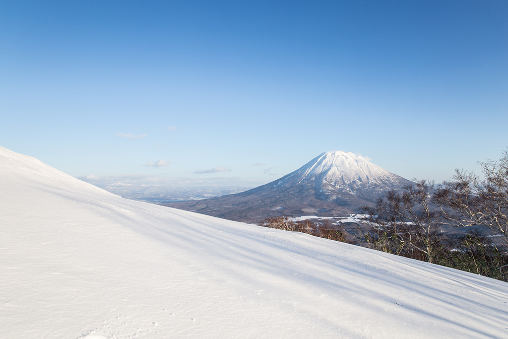
The steeper and more technical route down this volcanic island
Difficult Freeride Skiing

A steep and playful east facing run that infrequently gets skied and can hold snow days after a storm.
Moderate Freeride Skiing

An amazing south-east facing run that requires a short hike after skiing, or some organization to place a second car farther up the road.
Difficult Freeride Skiing

The classic route up Chisenupuri. It is not recommended to go higher than the top of the old lift system on storm days.
Difficult Freeride Skiing

The easiest of the three options to ascend Nito.
Moderate Freeride Skiing

The most difficult but possibly most rewarding of the three options to ascend Nito.
Moderate Freeride Skiing

The most direct of the three options to ascend Nito.
Difficult Freeride Skiing
A classic line visible from the road.
Difficult Freeride Skiing
12 routes · Freeride Skiing