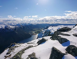
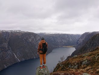
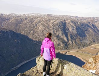
Preikestolen
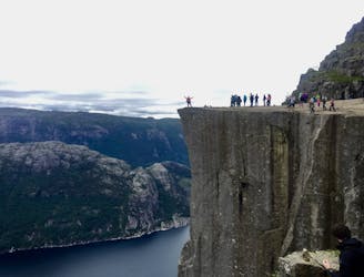
An iconic cliff hanging 604 meters above Lysefjorden.
Difficult Hiking
- Distance
- 7.4 km
- Ascent
- 435 m
- Descent
- 435 m
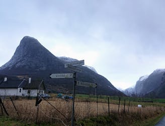
Explore Rogaland with curated guides of the best hiking trails, and more. With over 23 3D trail maps in FATMAP, you can easily discover and navigate the best trails in Rogaland.
No matter what your next adventure has in store, you can find a guide on FATMAP to help you plan your next epic trip.
Get a top trail recommendation in Rogaland, or get inspired by the 23 local adventures uploaded by the FATMAP community. Start exploring now!
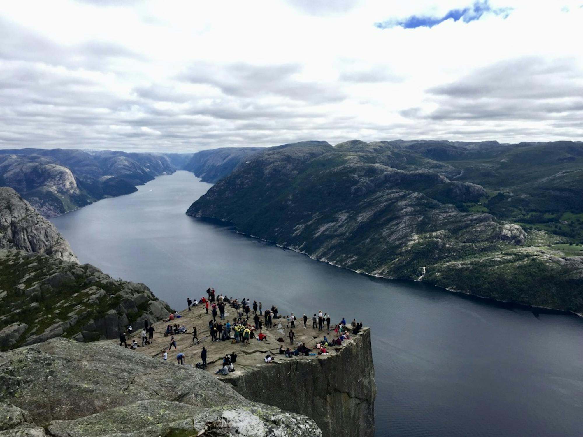
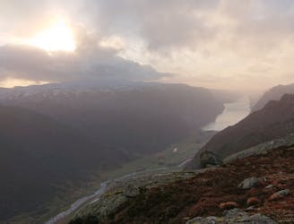
An iconic cliff hanging 604 meters above Lysefjorden.
Difficult Hiking
Steep line with nice view of Lysefjorden from the summit
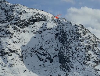
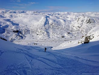
Severe Ski Touring

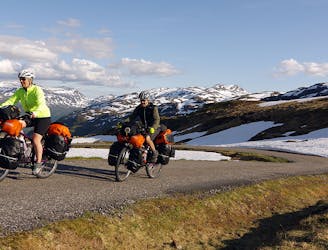
Brusand to Egersund, the scenic route
Difficult Hiking

Sikvelandskulå 2hr hike with nice view of Jæren and the North Sea
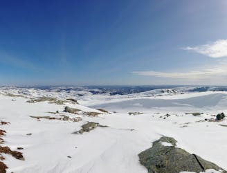
Moderate Hiking

Enjoy this easy-access trail route from Ganddal
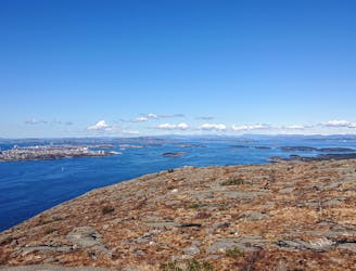
Moderate Trail Running
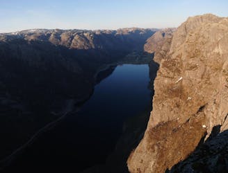
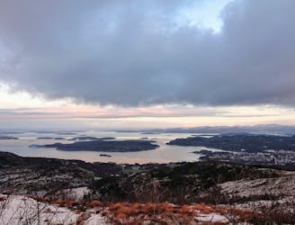
Panorama with ocean view!
Difficult Hiking
Hike with amazing views
Difficult Hiking
Nydelig brattkjøring!
Moderate Freeride Skiing
NOMADS² blog post #2 ride
Difficult Mountain Biking
Hike close to Sandnes
Moderate Hiking
Short, steep hike with incrredible views
Difficult Hiking
Climbing the tower of Espedal
Severe Hiking
Challengeing hike rewarded with amazing view
Difficult Hiking
Steep hike with spectacular view
Severe Hiking
Summit hike with balcony view
Difficult Hiking
Short hike with great views
Moderate Trail Running