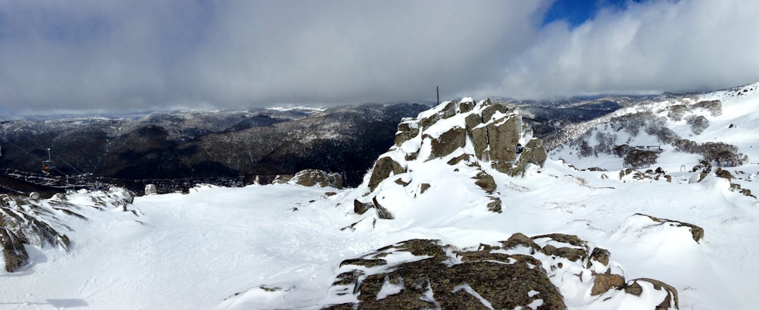
The Cleft Rock Run is distinguished by a southerly facing side of the spur which leads down from northernmost part of the ridge line a few hundred metres to the west-south-west of the Southerly Ramshead. This line can provide an epic tree run when conditions align, and holds the snow well, whilst heading to the other side of the gully can be found to hold the snow badly as a result of the north-westerly aspect. The top of this run begins with a steep drop through the rocks, be careful the first time around, this area can be treacherous in icy conditions, that being said some of the rocks can be great to drop off when covered in snow, but definitely head down and scope the other side of them first before hitting the drops. These rocks load differently year to year, but visibility of the terrain is pretty good and you can generally pick your lines pretty well from above the rocks. Other lines look favourable within this area at times, but the thick vegetation of all aspects but southerly facing gullies can often hold nearly impenetrable vegetation. The run itself holds a good pitch for over 300 metres of vertical, then mellows out towards the creek. This flatter area can also have some really slow and old snow, as well as a greater potential to melt, so make sure to assess conditions. The trees are really nicely spaced, and you can really pick up speed between them, for the return head all the way down to the creek, and follow the Leatherbarrel Creek Return to the top of Ramshead towards Thredbo, or head up Golden Gully if you are heading back to Dead Horse Gap.


