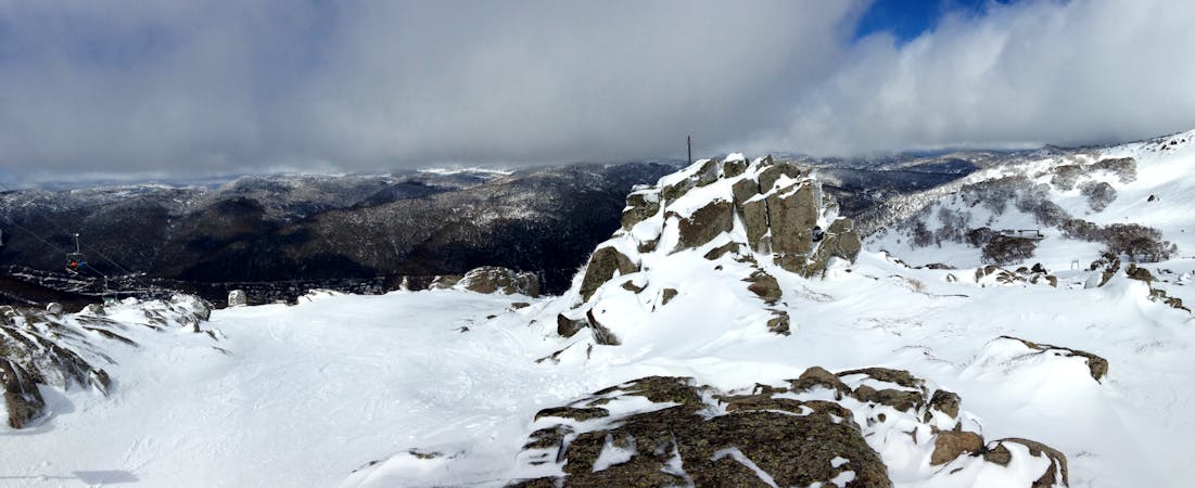
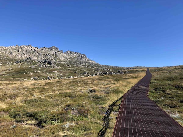
The Southerly Ramshead is located straight up the hill from Dead Horse Gap, thus is one of the most accessible areas on the Main Range and a great entry run for those looking to get into backcountry skiing. This is relatively gentle terrain which is both above and below the tree line, with the trees providing a good amount of space. The runs on the eastern face are long and gentle, with the area to the north east of the summit being shorter and steeper. This area is easy to navigate, and due to the relatively open terrain with few major hazards, apart from the obvious rocky out crop at the top, you can pick your line and let loose. The area itself holds the snow really well, particularly in the sheltered gladed areas, they can hold fresh good quality snow a few days after a storm, the north easterly face loses the snow faster than the easterly face. It is easy to skin back up to the peak, and once the day is done, heading back down to Dead Horse Gap is really simple and easily manageable to ski all the way down in a decent season. Getting back to Thredbo is fairly easy too, as you can easily traverse back to Karels T-bar past Bogong Creek.